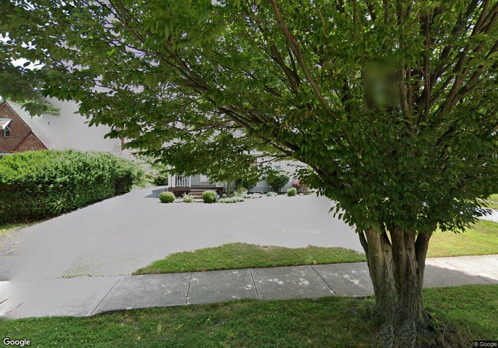
389 E 270th St Euclid, OH 44132
Estimated Value: $150,991 - $173,000
2
Beds
1
Bath
1,365
Sq Ft
$119/Sq Ft
Est. Value
About This Home
This home is located at 389 E 270th St, Euclid, OH 44132 and is currently estimated at $161,998, approximately $118 per square foot. 389 E 270th St is a home located in Cuyahoga County with nearby schools including Shoreview Elementary School, Euclid High School, and Mater Dei Academy.
Ownership History
Date
Name
Owned For
Owner Type
Purchase Details
Closed on
Dec 9, 1991
Sold by
Pudelko Walter S
Bought by
Dugarte Jose A
Current Estimated Value
Purchase Details
Closed on
Dec 17, 1990
Sold by
Barkhust Michaele
Bought by
Pudelko Walter S
Purchase Details
Closed on
Aug 22, 1984
Sold by
Patno Robert W
Bought by
Barkhust Michaele
Purchase Details
Closed on
Mar 31, 1976
Sold by
Phillips Joseph and J W
Bought by
Patno Robert W
Purchase Details
Closed on
Jan 1, 1975
Bought by
Phillips Joseph and J W
Create a Home Valuation Report for This Property
The Home Valuation Report is an in-depth analysis detailing your home's value as well as a comparison with similar homes in the area
Home Values in the Area
Average Home Value in this Area
Purchase History
| Date | Buyer | Sale Price | Title Company |
|---|---|---|---|
| Dugarte Jose A | $87,000 | -- | |
| Pudelko Walter S | $87,000 | -- | |
| Barkhust Michaele | $59,000 | -- | |
| Patno Robert W | $35,500 | -- | |
| Phillips Joseph | -- | -- |
Source: Public Records
Tax History
| Year | Tax Paid | Tax Assessment Tax Assessment Total Assessment is a certain percentage of the fair market value that is determined by local assessors to be the total taxable value of land and additions on the property. | Land | Improvement |
|---|---|---|---|---|
| 2025 | $3,383 | $50,925 | $9,345 | $41,580 |
| 2024 | $3,493 | $50,925 | $9,345 | $41,580 |
| 2023 | $3,088 | $35,810 | $7,070 | $28,740 |
| 2022 | $3,018 | $35,810 | $7,070 | $28,740 |
| 2021 | $3,363 | $35,810 | $7,070 | $28,740 |
| 2020 | $3,188 | $30,870 | $6,090 | $24,780 |
| 2019 | $2,868 | $88,200 | $17,400 | $70,800 |
| 2018 | $2,878 | $30,870 | $6,090 | $24,780 |
| 2017 | $3,102 | $27,650 | $5,040 | $22,610 |
| 2016 | $3,109 | $27,650 | $5,040 | $22,610 |
| 2015 | $2,829 | $27,650 | $5,040 | $22,610 |
| 2014 | $2,829 | $27,650 | $5,040 | $22,610 |
Source: Public Records
Map
Nearby Homes
- 411 E 270th St
- 440 E 271st St
- 298 E 270th St
- 427 E 275th St
- 325 E 264th St
- 350 E 273rd St
- 257 E 270th St
- 625 Lloyd Rd
- 26931 Shoreview Ave
- 26831 Shoreview Ave
- 591 Hemlock Dr
- 610 E 266th St
- 597 Hemlock Dr
- 26530 Shoreview Ave
- 27190 Zeman Ave
- 325 E 257th St
- 355 E 257th St
- 295 E 276th St
- 25801 Lakeshore Blvd Unit 42
- 26171 Shoreview Ave
Your Personal Tour Guide
Ask me questions while you tour the home.