389 Flint Valley Rd Selinsgrove, PA 17870
Estimated Value: $120,889 - $350,000
--
Bed
--
Bath
--
Sq Ft
10.38
Acres
About This Home
This home is located at 389 Flint Valley Rd, Selinsgrove, PA 17870 and is currently estimated at $242,222. 389 Flint Valley Rd is a home located in Snyder County with nearby schools including Selinsgrove Area Elementary School, Selinsgrove Intermediate School, and Selinsgrove Area Middle School.
Ownership History
Date
Name
Owned For
Owner Type
Purchase Details
Closed on
Sep 10, 2009
Sold by
Schurter Dale L and Schurter Mona M
Bought by
Sassaman Nevin R and Sassaman Katie L
Current Estimated Value
Home Financials for this Owner
Home Financials are based on the most recent Mortgage that was taken out on this home.
Original Mortgage
$267,000
Outstanding Balance
$183,763
Interest Rate
6.25%
Mortgage Type
Purchase Money Mortgage
Estimated Equity
$58,459
Create a Home Valuation Report for This Property
The Home Valuation Report is an in-depth analysis detailing your home's value as well as a comparison with similar homes in the area
Home Values in the Area
Average Home Value in this Area
Purchase History
| Date | Buyer | Sale Price | Title Company |
|---|---|---|---|
| Sassaman Nevin R | $208,000 | -- |
Source: Public Records
Mortgage History
| Date | Status | Borrower | Loan Amount |
|---|---|---|---|
| Open | Sassaman Nevin R | $267,000 |
Source: Public Records
Tax History Compared to Growth
Tax History
| Year | Tax Paid | Tax Assessment Tax Assessment Total Assessment is a certain percentage of the fair market value that is determined by local assessors to be the total taxable value of land and additions on the property. | Land | Improvement |
|---|---|---|---|---|
| 2025 | $3,844 | $37,790 | $6,280 | $31,510 |
| 2024 | $3,737 | $37,790 | $6,280 | $31,510 |
| 2023 | $1,073 | $37,790 | $6,280 | $31,510 |
| 2022 | $3,567 | $37,790 | $6,280 | $31,510 |
| 2021 | $3,567 | $37,790 | $6,280 | $31,510 |
| 2020 | $3,564 | $37,790 | $6,280 | $31,510 |
| 2019 | $3,564 | $37,790 | $6,280 | $31,510 |
| 2018 | $3,564 | $37,790 | $6,280 | $31,510 |
| 2017 | $3,526 | $37,790 | $6,280 | $31,510 |
| 2016 | $1,316 | $37,790 | $6,280 | $31,510 |
| 2015 | $99,435 | $37,790 | $6,280 | $31,510 |
| 2014 | $99,435 | $37,790 | $6,280 | $31,510 |
Source: Public Records
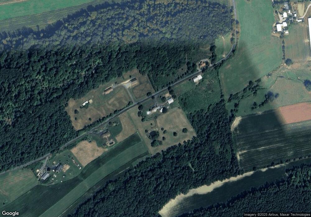
Map
Nearby Homes
- 2620 Route 35
- 206 E Church St
- 387 Neitz Valley Rd
- 0 Neitz Valley Rd
- 3 W Market St
- 0 Wedgewood Dr
- 0 W Academy Rd
- 00 Market
- 0 Roosters Rd
- PARCEL 4 Freeburg Rd
- PARCEL 3 Freeburg Rd
- PARCEL 5 Freeburg Rd
- PARCEL 2 Freeburg Rd
- 104 18th St
- 321 Pleasant Dr
- 2151 Freeburg Rd Unit 2 PARCEL
- 2151 Freeburg Rd Unit 4 PARCEL
- 2151 Freeburg Rd Unit 3 PARCEL
- 2151 Freeburg Rd
- 2151 Freeburg Rd Unit 1 PARCEL
- 493 Flint Valley Rd
- 617 Flint Valley Rd
- 714 Flint Valley Rd
- 769 Flint Valley Rd
- 2793 Route 35
- 844 Flint Valley Rd
- 2507 Route 35
- 2541 Route 35
- 2477 Route 35
- 2701 Route 35
- 750 Produce Rd
- 703 Produce Rd
- 2793 Route 35
- 2793 Route 35
- 889 Flint Valley Rd
- 2620 Pennsylvania 35
- 784 Produce Rd
- 2793 Pa-35
- 2388 Route 35