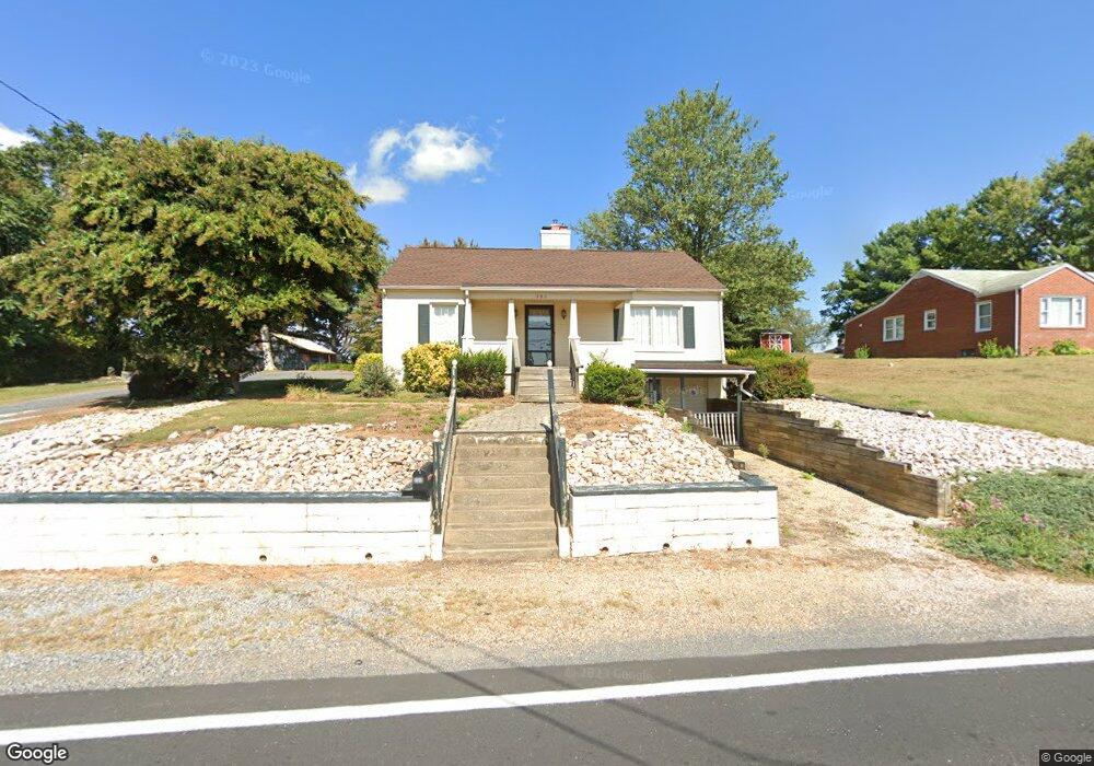
389 Frontier Dr Staunton, VA 24401
Estimated Value: $256,000 - $314,261
3
Beds
2
Baths
1,896
Sq Ft
$151/Sq Ft
Est. Value
About This Home
This home is located at 389 Frontier Dr, Staunton, VA 24401 and is currently estimated at $286,565, approximately $151 per square foot. 389 Frontier Dr is a home located in Augusta County with nearby schools including Riverheads Elementary School, Beverley Manor Middle School, and Riverheads High School.
Ownership History
Date
Name
Owned For
Owner Type
Purchase Details
Closed on
Jul 19, 2016
Sold by
Howard'S End Llc A Virginia Limited Liab
Bought by
White Lester E
Current Estimated Value
Home Financials for this Owner
Home Financials are based on the most recent Mortgage that was taken out on this home.
Original Mortgage
$161,100
Outstanding Balance
$127,127
Interest Rate
3.56%
Mortgage Type
VA
Estimated Equity
$159,438
Create a Home Valuation Report for This Property
The Home Valuation Report is an in-depth analysis detailing your home's value as well as a comparison with similar homes in the area
Purchase History
| Date | Buyer | Sale Price | Title Company |
|---|---|---|---|
| White Lester E | $156,000 | Attorney |
Source: Public Records
Mortgage History
| Date | Status | Borrower | Loan Amount |
|---|---|---|---|
| Open | White Lester E | $161,100 |
Source: Public Records
Tax History
| Year | Tax Paid | Tax Assessment Tax Assessment Total Assessment is a certain percentage of the fair market value that is determined by local assessors to be the total taxable value of land and additions on the property. | Land | Improvement |
|---|---|---|---|---|
| 2025 | $111 | $237,300 | $50,000 | $187,300 |
| 2024 | $803 | $237,300 | $50,000 | $187,300 |
| 2023 | $803 | $127,400 | $40,000 | $87,400 |
| 2022 | $803 | $127,400 | $40,000 | $87,400 |
| 2021 | $803 | $127,400 | $40,000 | $87,400 |
| 2020 | $803 | $127,400 | $40,000 | $87,400 |
| 2019 | $803 | $127,400 | $40,000 | $87,400 |
| 2018 | $750 | $119,039 | $40,000 | $79,039 |
| 2017 | $690 | $119,039 | $40,000 | $79,039 |
| 2016 | $690 | $119,039 | $40,000 | $79,039 |
| 2015 | $704 | $119,039 | $40,000 | $79,039 |
| 2014 | $704 | $119,039 | $40,000 | $79,039 |
| 2013 | $704 | $146,700 | $50,000 | $96,700 |
Source: Public Records
Map
Nearby Homes
- 11 River Oak Dr
- 5 River Oak Dr
- 118 Red Oaks Dr
- 114 Fairfield Dr
- 16 River Oak Dr
- 105 Fairfield Dr
- 99 Fairfield Dr
- 21 River Oak Dr
- 19 River Oak Dr
- 20 River Oak Dr
- 17 River Oak Dr
- 15 River Oak Dr
- 9 River Oak Dr
- 367 Mary Gray Ln
- 351 Campbell St
- 107 Orchard Rd
- 7 Fairfield Dr
- 815 Rutherford St
- 414 Campbell St
- 37 Heather Ln
- 379 Frontier Dr
- 384 Frontier Dr
- 25 Sunset Blvd
- 405 Frontier Dr
- 382 Frontier Dr
- 35 Sunset Blvd
- 425 Frontier Dr
- 377 Frontier Dr
- 398 Frontier Dr
- 378 Frontier Dr
- 406 Frontier Dr
- 15 Sunset Blvd
- 39 Sunset Blvd
- 363 Frontier Dr
- 49 Sunset Blvd
- 370 Frontier Dr
- 359 Frontier Dr
- 24 Sunset Blvd
- 18 Sunset Blvd
- 26 Sunset Blvd
Your Personal Tour Guide
Ask me questions while you tour the home.