389 Hoover Rd Troutman, NC 28166
Estimated Value: $388,770 - $482,000
3
Beds
3
Baths
2,051
Sq Ft
$208/Sq Ft
Est. Value
About This Home
This home is located at 389 Hoover Rd, Troutman, NC 28166 and is currently estimated at $426,443, approximately $207 per square foot. 389 Hoover Rd is a home located in Iredell County with nearby schools including Troutman Elementary School, Troutman Middle School, and South Iredell High School.
Ownership History
Date
Name
Owned For
Owner Type
Purchase Details
Closed on
May 2, 2005
Sold by
William Brewster Inc
Bought by
Smith William E and Smith Edith
Current Estimated Value
Home Financials for this Owner
Home Financials are based on the most recent Mortgage that was taken out on this home.
Original Mortgage
$164,600
Outstanding Balance
$82,284
Interest Rate
5.5%
Mortgage Type
Fannie Mae Freddie Mac
Estimated Equity
$344,159
Create a Home Valuation Report for This Property
The Home Valuation Report is an in-depth analysis detailing your home's value as well as a comparison with similar homes in the area
Home Values in the Area
Average Home Value in this Area
Purchase History
| Date | Buyer | Sale Price | Title Company |
|---|---|---|---|
| Smith William E | $206,000 | -- |
Source: Public Records
Mortgage History
| Date | Status | Borrower | Loan Amount |
|---|---|---|---|
| Open | Smith William E | $164,600 |
Source: Public Records
Tax History
| Year | Tax Paid | Tax Assessment Tax Assessment Total Assessment is a certain percentage of the fair market value that is determined by local assessors to be the total taxable value of land and additions on the property. | Land | Improvement |
|---|---|---|---|---|
| 2025 | $2,044 | $330,610 | $55,000 | $275,610 |
| 2024 | $2,131 | $330,610 | $55,000 | $275,610 |
| 2023 | $2,044 | $330,610 | $55,000 | $275,610 |
| 2022 | $1,464 | $220,290 | $35,000 | $185,290 |
| 2021 | $1,438 | $220,290 | $35,000 | $185,290 |
| 2020 | $1,438 | $220,290 | $35,000 | $185,290 |
| 2019 | $1,383 | $220,290 | $35,000 | $185,290 |
| 2018 | $1,218 | $195,080 | $24,000 | $171,080 |
| 2017 | $1,218 | $195,080 | $24,000 | $171,080 |
| 2016 | $1,218 | $195,080 | $24,000 | $171,080 |
| 2015 | $1,218 | $195,080 | $24,000 | $171,080 |
| 2014 | $1,164 | $202,120 | $24,000 | $178,120 |
Source: Public Records
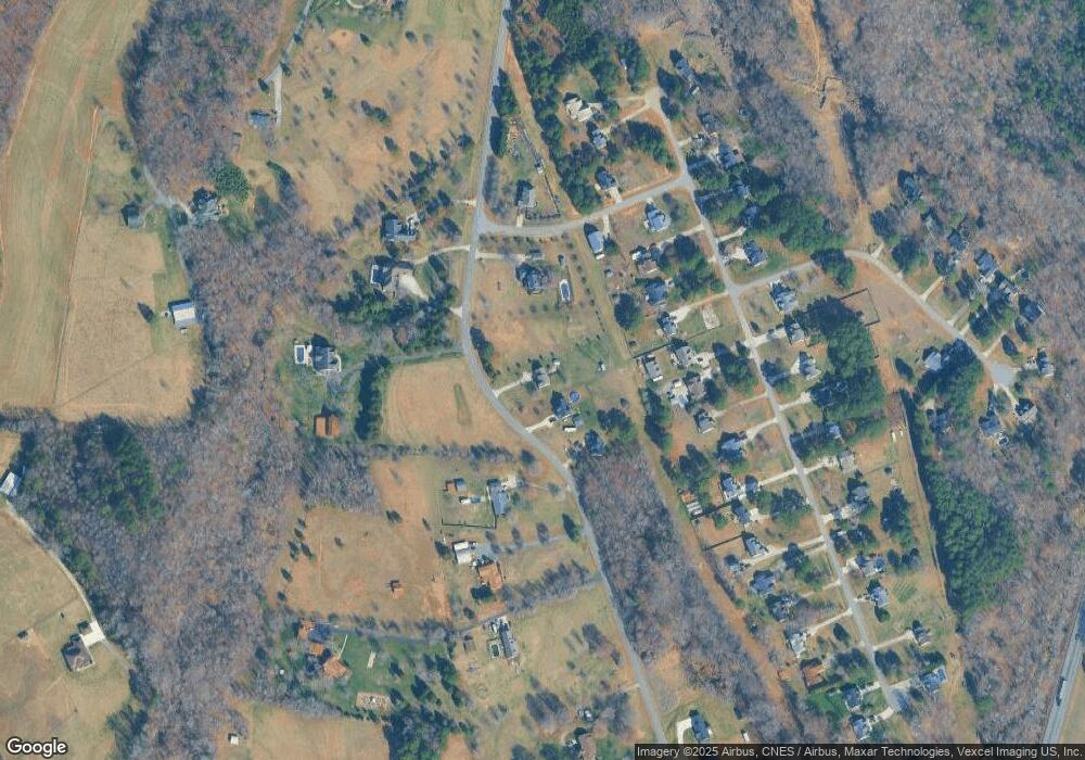
Map
Nearby Homes
- 395 Hoover Rd
- 401 Hoover Rd
- 369 Hoover Rd
- 128 Painted Bunting Dr
- 132 Painted Bunting Dr
- 124 Painted Bunting Dr
- 408 Hoover Rd
- 136 Painted Bunting Dr
- 120 Painted Bunting Dr
- 140 Painted Bunting Dr
- 107 Marthas Vineyard
- 144 Painted Bunting Dr
- 116 Painted Bunting Dr
- 374 Hoover Rd
- 108 Painted Bunting Dr
- 148 Painted Bunting Dr
- 420 Hoover Rd
- 362 Hoover Rd
- 123 Painted Bunting Dr
- 104 Painted Bunting Dr
Your Personal Tour Guide
Ask me questions while you tour the home.