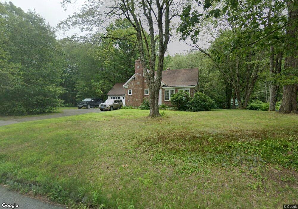
389 Litchfield Rd Harwinton, CT 06791
Estimated Value: $345,000 - $368,137
3
Beds
1
Bath
1,391
Sq Ft
$258/Sq Ft
Est. Value
About This Home
This home is located at 389 Litchfield Rd, Harwinton, CT 06791 and is currently estimated at $358,534, approximately $257 per square foot. 389 Litchfield Rd is a home located in Litchfield County with nearby schools including Harwinton Consolidated School, Har-Bur Middle School, and Lewis S. Mills High School.
Ownership History
Date
Name
Owned For
Owner Type
Purchase Details
Closed on
Oct 1, 2002
Sold by
Krass Tr Barrett L
Bought by
Smith Roland D
Current Estimated Value
Home Financials for this Owner
Home Financials are based on the most recent Mortgage that was taken out on this home.
Original Mortgage
$90,000
Interest Rate
8.9%
Create a Home Valuation Report for This Property
The Home Valuation Report is an in-depth analysis detailing your home's value as well as a comparison with similar homes in the area
Home Values in the Area
Average Home Value in this Area
Purchase History
| Date | Buyer | Sale Price | Title Company |
|---|---|---|---|
| Smith Roland D | $155,000 | -- | |
| Smith Roland D | $155,000 | -- |
Source: Public Records
Mortgage History
| Date | Status | Borrower | Loan Amount |
|---|---|---|---|
| Open | Smith Roland D | $140,000 | |
| Closed | Smith Roland D | $145,000 | |
| Closed | Smith Roland D | $125,000 | |
| Closed | Smith Roland D | $90,000 |
Source: Public Records
Tax History Compared to Growth
Tax History
| Year | Tax Paid | Tax Assessment Tax Assessment Total Assessment is a certain percentage of the fair market value that is determined by local assessors to be the total taxable value of land and additions on the property. | Land | Improvement |
|---|---|---|---|---|
| 2025 | $4,662 | $202,700 | $79,170 | $123,530 |
| 2024 | $4,642 | $202,700 | $79,170 | $123,530 |
| 2023 | $3,755 | $128,610 | $56,960 | $71,650 |
| 2022 | $3,665 | $128,610 | $56,960 | $71,650 |
| 2021 | $3,691 | $128,610 | $56,960 | $71,650 |
| 2020 | $3,601 | $128,610 | $56,960 | $71,650 |
| 2019 | $3,601 | $128,610 | $56,960 | $71,650 |
| 2018 | $3,774 | $134,800 | $64,200 | $70,600 |
| 2017 | $3,747 | $134,800 | $64,200 | $70,600 |
| 2016 | $3,747 | $134,800 | $64,200 | $70,600 |
| 2015 | $3,680 | $134,800 | $64,200 | $70,600 |
| 2014 | $3,626 | $134,800 | $64,200 | $70,600 |
Source: Public Records
Map
Nearby Homes
- 39 Orchard Hill Rd
- 448 Litchfield Rd
- 0 Hill Rd Unit 24132154
- 544 Litchfield Rd
- Lot 2 Birch Hill Rd
- 183 Wildcat Hill Rd
- 29 Branch Rd
- 74 Pine Ridge Dr
- 18 Highview Dr
- 164 Birge Park Rd
- 21 South Rd
- 172 Pierce St
- 50 King St
- 699 S Main St Unit 323
- 2 Perkins St Unit 14
- 123 Woodland Dr
- 615 S Main St
- 505 Harwinton Ave Unit 21
- 528 Clearview Ave
- 59 Lincoln Ave
- 386 Litchfield Rd
- 392 Litchfield Rd
- 397 Litchfield Rd
- 400 Litchfield Rd
- 381 Litchfield Rd
- 406 Litchfield Rd
- 365 Litchfield Rd
- 4 Wildcat Hill Rd
- 00 Scoville Hill Rd
- 0 Scoville Hill Rd Unit L10081559
- 0 Scoville Hill Rd
- 0 Scoville Hill Rd Unit 170611989
- 0 Scoville Hill Rd Unit 170564360
- 0 Scoville Hill Rd Unit 170401561
- 0 Scoville Hill Rd Unit L129338
- 359 Litchfield Rd
- 2 Wild Cat Hill Rd
- 0 Wildcat Hill Rd Unit L135077
- 0 Wildcat Hill Rd Unit L10202631
- 0 Clearview Ave Unit L133199