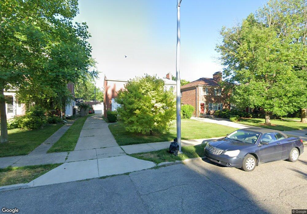
389 Neff Rd Unit Bldg-Unit Grosse Pointe, MI 48230
Estimated Value: $396,304 - $518,000
Studio
1
Bath
2,280
Sq Ft
$196/Sq Ft
Est. Value
About This Home
This home is located at 389 Neff Rd Unit Bldg-Unit, Grosse Pointe, MI 48230 and is currently estimated at $446,826, approximately $195 per square foot. 389 Neff Rd Unit Bldg-Unit is a home located in Wayne County with nearby schools including Lewis Maire Elementary School, Pierce Middle School, and Grosse Pointe South High School.
Ownership History
Date
Name
Owned For
Owner Type
Purchase Details
Closed on
May 26, 2017
Sold by
Paphos Llc
Bought by
Meier Scott
Current Estimated Value
Home Financials for this Owner
Home Financials are based on the most recent Mortgage that was taken out on this home.
Original Mortgage
$193,125
Outstanding Balance
$160,419
Interest Rate
3.97%
Mortgage Type
New Conventional
Estimated Equity
$286,407
Purchase Details
Closed on
Apr 29, 2011
Sold by
Mcneill Roger F and Mcneill Douglas W
Bought by
Paphos Llc
Purchase Details
Closed on
Apr 3, 2010
Sold by
Kustrzyk Frances E
Bought by
Kustrzyk Frances E and Kustrzyk Revocable F Frances E
Create a Home Valuation Report for This Property
The Home Valuation Report is an in-depth analysis detailing your home's value as well as a comparison with similar homes in the area
Home Values in the Area
Average Home Value in this Area
Purchase History
| Date | Buyer | Sale Price | Title Company |
|---|---|---|---|
| Meier Scott | $257,500 | Ata National Title Group | |
| Paphos Llc | $151,500 | None Available | |
| Kustrzyk Frances E | -- | None Available |
Source: Public Records
Mortgage History
| Date | Status | Borrower | Loan Amount |
|---|---|---|---|
| Open | Meier Scott | $193,125 |
Source: Public Records
Tax History
| Year | Tax Paid | Tax Assessment Tax Assessment Total Assessment is a certain percentage of the fair market value that is determined by local assessors to be the total taxable value of land and additions on the property. | Land | Improvement |
|---|---|---|---|---|
| 2025 | $4,956 | $184,200 | $0 | $0 |
| 2024 | $4,789 | $177,700 | $0 | $0 |
| 2023 | $4,568 | $172,300 | $0 | $0 |
| 2022 | $8,372 | $156,600 | $0 | $0 |
| 2021 | $8,151 | $145,700 | $0 | $0 |
| 2019 | $8,023 | $132,000 | $0 | $0 |
| 2018 | $3,964 | $114,700 | $0 | $0 |
| 2017 | $5,180 | $113,400 | $0 | $0 |
| 2016 | $5,464 | $107,900 | $0 | $0 |
| 2015 | $8,509 | $100,900 | $0 | $0 |
| 2013 | $8,243 | $86,400 | $0 | $0 |
| 2012 | -- | $80,500 | $0 | $0 |
Source: Public Records
Map
Nearby Homes
- 379 Lakeland St
- 320 Neff Rd
- 386 Notre Dame St
- 11 Wellington Place
- 42 Cranford Ln
- 516 Neff Ln
- 47 Cranford Ln
- 30 Cranford Ln
- 296 Rivard Blvd
- 345 Roosevelt Place
- 25 Village Ln
- 16761 E Jefferson Ave
- 10 Sycamore Ln
- 1030 Bishop Rd
- 277 Lincoln Rd
- 4 Cameron Place
- 17680 E Jefferson Ave
- 612 Cadieux Rd
- 355 Lincoln Rd
- 29 Fisher Rd
- 389 Neff Rd
- 387 Neff Rd
- 393 Neff Rd
- 379 Neff Rd
- 379 Neff Rd Unit 381
- 381 Neff Rd
- 397 Neff Rd
- 399 Neff Rd
- 407 Neff Rd
- 371 Neff Rd
- 373 Neff Rd
- 391 Neff Rd
- 373 Neff Rd Unit upper
- 412 Saint Clair St
- 367 Neff Rd
- 418 Saint Clair St
- 410 Saint Clair St
- 410 Saint Clair Ave
- 402 Saint Clair St
- 361 Neff Rd Unit 2
Your Personal Tour Guide
Ask me questions while you tour the home.