389 Prospector Trail Dahlonega, GA 30533
Estimated Value: $660,861 - $838,000
3
Beds
3
Baths
2,992
Sq Ft
$249/Sq Ft
Est. Value
About This Home
This home is located at 389 Prospector Trail, Dahlonega, GA 30533 and is currently estimated at $746,465, approximately $249 per square foot. 389 Prospector Trail is a home located in Lumpkin County with nearby schools including Lumpkin County High School.
Ownership History
Date
Name
Owned For
Owner Type
Purchase Details
Closed on
Jun 30, 2008
Sold by
Granger Richard J
Bought by
Settle Evan Evans and Settie Sue Bradbury
Current Estimated Value
Purchase Details
Closed on
Nov 29, 2002
Sold by
Ashton Atlanta Residential Llc
Bought by
Granger Richard J and Granger Lucinda G
Purchase Details
Closed on
Mar 16, 2001
Sold by
Owens Valley Farm Lp
Bought by
Ashton Atlanta Residential Llc
Purchase Details
Closed on
Apr 17, 1998
Bought by
Owens Valley Farm Lp
Create a Home Valuation Report for This Property
The Home Valuation Report is an in-depth analysis detailing your home's value as well as a comparison with similar homes in the area
Home Values in the Area
Average Home Value in this Area
Purchase History
| Date | Buyer | Sale Price | Title Company |
|---|---|---|---|
| Settle Evan Evans | $435,000 | -- | |
| Granger Richard J | $344,700 | -- | |
| Ashton Atlanta Residential Llc | $850,000 | -- | |
| Owens Valley Farm Lp | -- | -- |
Source: Public Records
Tax History Compared to Growth
Tax History
| Year | Tax Paid | Tax Assessment Tax Assessment Total Assessment is a certain percentage of the fair market value that is determined by local assessors to be the total taxable value of land and additions on the property. | Land | Improvement |
|---|---|---|---|---|
| 2024 | $3,308 | $214,400 | $12,000 | $202,400 |
| 2023 | $2,352 | $197,077 | $12,000 | $185,077 |
| 2022 | $2,558 | $179,434 | $12,000 | $167,434 |
| 2021 | $1,662 | $146,209 | $12,000 | $134,209 |
| 2020 | $1,622 | $143,141 | $12,000 | $131,141 |
| 2019 | $1,775 | $147,141 | $16,000 | $131,141 |
| 2018 | $1,982 | $148,788 | $26,219 | $122,569 |
| 2017 | $1,789 | $142,182 | $26,219 | $115,963 |
| 2016 | $1,544 | $134,063 | $26,219 | $107,844 |
| 2015 | $1,210 | $134,064 | $26,219 | $107,844 |
| 2014 | $1,210 | $135,276 | $26,219 | $109,056 |
| 2013 | -- | $134,796 | $24,528 | $110,268 |
Source: Public Records
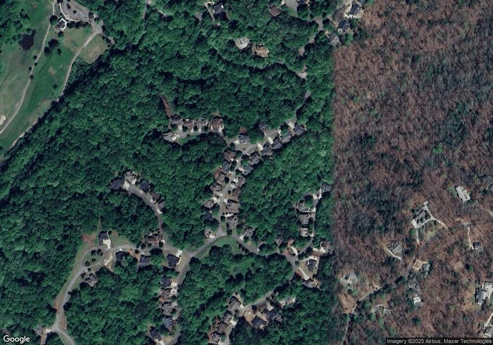
Map
Nearby Homes
- 38 Cavender Run
- 134 Rockhound Dr
- 134 Prospector Ridge
- 103 Rockhound Dr
- 533 Birch River Dr Unit GV17
- 67 Quartz Way
- 0 Stamp Mill Dr
- 133 Stamp Mill Dr
- 72 Rustin Ridge Unit 276
- 1113 Kiliahote Pass
- 1259 Birch River Dr
- 1034 Bear Paw Ridge
- 1038 Bear Paw Ridge
- 1040 Bear Paw Ridge
- 1036 Bear Paw Ridge
- 1048 Bear Paw Ridge
- 1364 Birch River Dr
- 2041 Long Branch Rd Unit TRACT 2A
- 2041 Long Branch Rd
- 1028 Bear Paw Ridge
- 403 Prospector Trail
- 369 Prospector Trail
- 347 Prospector Trail
- 398 Prospector Trail
- 398 Prospector Trail Unit 734
- 382 Prospector Trail
- 412 Prospector Trail
- 331 Prospector Trail
- 439 Prospector Trail
- 14 High Trestle Ct
- 338 Prospector Trail
- 317 Prospector Trail
- 0 High Trestle Ct Unit 8584787
- 0 High Trestle Ct Unit 8466745
- 0 High Trestle Ct Unit 8308438
- 0 High Trestle Ct
- 465 Prospector Trail Unit 710
- 465 Prospector Trail
- 445 Prospector Trail
- 25 Cane Mill Ln Unit 300