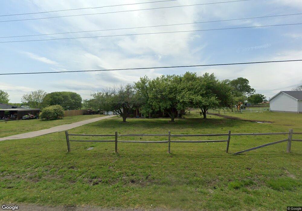
389 Rockport Rd Sherman, TX 75092
Estimated Value: $439,000 - $504,000
3
Beds
2
Baths
1,622
Sq Ft
$285/Sq Ft
Est. Value
About This Home
This home is located at 389 Rockport Rd, Sherman, TX 75092 and is currently estimated at $461,698, approximately $284 per square foot. 389 Rockport Rd is a home located in Grayson County with nearby schools including S&S Consolidated Elementary School, S&S Consolidated Middle School, and S. & S. Cons H.S..
Ownership History
Date
Name
Owned For
Owner Type
Purchase Details
Closed on
Sep 17, 2012
Sold by
Gaines Jack P and Gaines Linda A
Bought by
Adams Kody D
Current Estimated Value
Home Financials for this Owner
Home Financials are based on the most recent Mortgage that was taken out on this home.
Original Mortgage
$150,000
Outstanding Balance
$103,864
Interest Rate
3.66%
Mortgage Type
New Conventional
Estimated Equity
$357,834
Create a Home Valuation Report for This Property
The Home Valuation Report is an in-depth analysis detailing your home's value as well as a comparison with similar homes in the area
Home Values in the Area
Average Home Value in this Area
Purchase History
| Date | Buyer | Sale Price | Title Company |
|---|---|---|---|
| Adams Kody D | -- | None Available |
Source: Public Records
Mortgage History
| Date | Status | Borrower | Loan Amount |
|---|---|---|---|
| Open | Adams Kody D | $150,000 |
Source: Public Records
Tax History Compared to Growth
Tax History
| Year | Tax Paid | Tax Assessment Tax Assessment Total Assessment is a certain percentage of the fair market value that is determined by local assessors to be the total taxable value of land and additions on the property. | Land | Improvement |
|---|---|---|---|---|
| 2025 | $5,043 | $470,774 | -- | -- |
| 2024 | $6,390 | $427,976 | $0 | $0 |
| 2023 | $4,496 | $389,069 | $0 | $0 |
| 2022 | $5,948 | $353,699 | $0 | $0 |
| 2021 | $4,468 | $234,900 | $27,286 | $207,614 |
| 2020 | $4,652 | $248,736 | $27,286 | $221,450 |
| 2019 | $4,585 | $263,265 | $27,286 | $235,979 |
| 2018 | $3,817 | $196,338 | $27,286 | $169,052 |
| 2017 | $3,494 | $178,173 | $27,286 | $150,887 |
| 2016 | $3,368 | $171,740 | $22,307 | $149,433 |
| 2015 | $2,726 | $162,232 | $18,020 | $144,212 |
| 2014 | $2,431 | $139,613 | $17,506 | $122,107 |
Source: Public Records
Map
Nearby Homes
- 6514 Joyce Ln
- 1171 Rockport Rd
- 00 Primrose Ln
- 586 Pleasant Home Rd
- 3356 Old Dorchester Rd
- 2615 Rolling Hills Dr
- 1401 Cimmaron Trail
- 1404 Tejas Dr
- 10.96 Acres Wible Rd
- 750 Wible Rd
- TBD Wible Rd
- 1426 S Raven Dr
- 1407 Swan Ridge Dr
- 4501 Hawk Ln
- 4507 Falcon Dr
- 6935 S Farm To Market Road 1417
- 1415 Mallard Dr
- 1412 Ascot Ave
- 2134 Peggeys Cove
- 3508 Ballam St
- 417 Rockport Rd
- 365 Rockport Rd
- 453 Rockport Rd
- 312 Rockport Rd
- 481 Rockport Rd
- 303 Rockport Rd
- 340 Rockport Rd
- 288 Rockport Rd
- 386 Rockport Rd
- 509 Rockport Rd
- 282 Rockport Rd
- 245 Rockport Rd
- 284 Choctaw Est Cir
- 284 Choctaw Est Cir Unit LAND
- 284 Choctaw Est Cir
- 320 Choctaw Est Cir
- 328 Choctaw Est Cir
- 246 Rockport Rd
- 220 Rockport Rd
- 256 Choctaw Est Cir