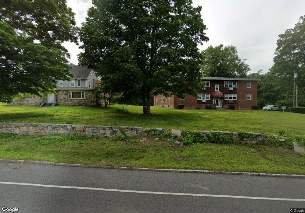
389 S Main St Unit 1B Seymour, CT 06483
Estimated Value: $129,000 - $170,000
2
Beds
1
Bath
717
Sq Ft
$207/Sq Ft
Est. Value
About This Home
This home is located at 389 S Main St Unit 1B, Seymour, CT 06483 and is currently estimated at $148,454, approximately $207 per square foot. 389 S Main St Unit 1B is a home located in New Haven County with nearby schools including Seymour Middle School, Seymour High School, and Assumption School.
Ownership History
Date
Name
Owned For
Owner Type
Purchase Details
Closed on
Mar 6, 2025
Sold by
King Clemence R
Bought by
King Properties Llc
Current Estimated Value
Purchase Details
Closed on
Feb 28, 2006
Sold by
David Albro Lt and Albro
Bought by
King Clemence R
Home Financials for this Owner
Home Financials are based on the most recent Mortgage that was taken out on this home.
Original Mortgage
$76,000
Interest Rate
6.17%
Mortgage Type
Purchase Money Mortgage
Purchase Details
Closed on
May 14, 1990
Sold by
Gh & M Realty Group Inc
Bought by
Elliott Frederick
Home Financials for this Owner
Home Financials are based on the most recent Mortgage that was taken out on this home.
Original Mortgage
$58,500
Interest Rate
10.15%
Mortgage Type
Purchase Money Mortgage
Create a Home Valuation Report for This Property
The Home Valuation Report is an in-depth analysis detailing your home's value as well as a comparison with similar homes in the area
Home Values in the Area
Average Home Value in this Area
Purchase History
| Date | Buyer | Sale Price | Title Company |
|---|---|---|---|
| King Properties Llc | -- | -- | |
| King Clemence R | $95,000 | -- | |
| King Clemence R | $95,000 | -- | |
| Elliott Frederick | $99,900 | -- |
Source: Public Records
Mortgage History
| Date | Status | Borrower | Loan Amount |
|---|---|---|---|
| Previous Owner | Elliott Frederick | $76,668 | |
| Previous Owner | Elliott Frederick | $76,000 | |
| Previous Owner | Elliott Frederick | $58,500 |
Source: Public Records
Tax History Compared to Growth
Tax History
| Year | Tax Paid | Tax Assessment Tax Assessment Total Assessment is a certain percentage of the fair market value that is determined by local assessors to be the total taxable value of land and additions on the property. | Land | Improvement |
|---|---|---|---|---|
| 2025 | $1,642 | $59,220 | $0 | $59,220 |
| 2024 | $1,442 | $39,130 | $0 | $39,130 |
| 2023 | $1,408 | $39,130 | $0 | $39,130 |
| 2022 | $1,393 | $39,130 | $0 | $39,130 |
| 2021 | $1,358 | $39,130 | $0 | $39,130 |
| 2020 | $1,414 | $39,270 | $0 | $39,270 |
| 2019 | $1,414 | $39,270 | $0 | $39,270 |
| 2018 | $1,414 | $39,270 | $0 | $39,270 |
| 2017 | $1,414 | $39,270 | $0 | $39,270 |
| 2016 | $1,414 | $39,270 | $0 | $39,270 |
| 2015 | $1,392 | $40,250 | $0 | $40,250 |
| 2014 | $1,370 | $40,250 | $0 | $40,250 |
Source: Public Records
Map
Nearby Homes
- 17 Patton Ave
- 9 Omar St
- 25 Oakwood Dr
- 169 Derby Ave
- 50 Bellevue Terrace
- 57 Bellevue Terrace
- 50 Bissell Place
- 4 Nickel Mine Dr
- 36 Bungay Terrace
- 22 Pheasant Dr
- 3 Deer Run Dr
- 17 Warren Dr
- 9 Wooster St
- 77 S Main St
- 72D Walnut St
- 26-28 S Main St
- 37-14, 49-1, 79-2, 7 Balance Rock Rd
- 129 Old Ansonia Rd
- 114 Balance Rock Rd Unit 12
- 148 Bungay Rd
- 389 S Main St Unit 8B
- 389 S Main St Unit 7B
- 389 S Main St Unit 2B
- 389 S Main St Unit 8A
- 389 S Main St Unit 7A
- 389 S Main St Unit 2A
- 389 S Main St Unit 1A
- 389 S Main St Unit 6B
- 389 S Main St Unit 5B
- 389 S Main St Unit 4B
- 389 S Main St Unit 3B
- 389 S Main St Unit 6A
- 389 S Main St Unit 5A
- 389 S Main St Unit 4A
- 389 S Main St Unit 3A
- 389 S Main St Unit 3B (11)
- 387 S Main St Unit 1
- 387 S Main St
- 387 S Main St
- 387 S Main St