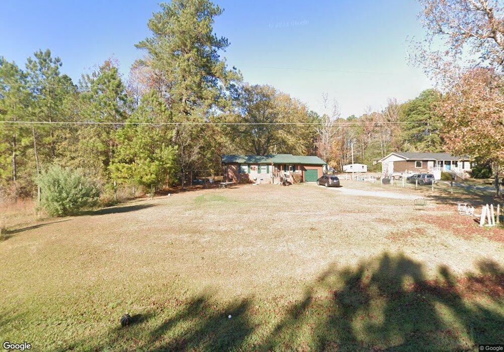
389 Sandtown Rd Lagrange, GA 30240
Estimated Value: $172,000 - $208,000
3
Beds
2
Baths
1,067
Sq Ft
$176/Sq Ft
Est. Value
About This Home
This home is located at 389 Sandtown Rd, Lagrange, GA 30240 and is currently estimated at $187,481, approximately $175 per square foot. 389 Sandtown Rd is a home located in Troup County with nearby schools including Long Cane Elementary School, West Point Elementary School, and Whitesville Road Elementary School.
Ownership History
Date
Name
Owned For
Owner Type
Purchase Details
Closed on
May 21, 2004
Sold by
Tina Jeffery and Tina Allen
Bought by
Copeland Nathaniel and Copeland April
Current Estimated Value
Purchase Details
Closed on
May 20, 2004
Sold by
Nathaniel Copeland
Bought by
Tina Jeffery and Tina Allen
Purchase Details
Closed on
May 15, 1998
Sold by
Martin Patricia
Bought by
Nathaniel Copeland
Purchase Details
Closed on
Dec 1, 1992
Sold by
Phillips W
Bought by
Martin Patricia
Purchase Details
Closed on
Mar 28, 1980
Bought by
Phillips W
Purchase Details
Closed on
Sep 13, 1979
Purchase Details
Closed on
Nov 11, 1976
Purchase Details
Closed on
Feb 16, 1976
Create a Home Valuation Report for This Property
The Home Valuation Report is an in-depth analysis detailing your home's value as well as a comparison with similar homes in the area
Home Values in the Area
Average Home Value in this Area
Purchase History
| Date | Buyer | Sale Price | Title Company |
|---|---|---|---|
| Copeland Nathaniel | $68,500 | -- | |
| Tina Jeffery | -- | -- | |
| Nathaniel Copeland | $51,000 | -- | |
| Martin Patricia | $42,000 | -- | |
| Phillips W | $32,000 | -- | |
| -- | $5,000 | -- | |
| -- | -- | -- | |
| -- | -- | -- |
Source: Public Records
Tax History Compared to Growth
Tax History
| Year | Tax Paid | Tax Assessment Tax Assessment Total Assessment is a certain percentage of the fair market value that is determined by local assessors to be the total taxable value of land and additions on the property. | Land | Improvement |
|---|---|---|---|---|
| 2024 | $1,211 | $46,400 | $5,000 | $41,400 |
| 2023 | $1,177 | $45,160 | $5,000 | $40,160 |
| 2022 | $1,150 | $43,200 | $5,000 | $38,200 |
| 2021 | $962 | $33,880 | $4,240 | $29,640 |
| 2020 | $696 | $25,080 | $4,000 | $21,080 |
| 2019 | $693 | $24,960 | $4,000 | $20,960 |
| 2018 | $636 | $23,080 | $4,000 | $19,080 |
| 2017 | $636 | $23,080 | $4,000 | $19,080 |
| 2016 | $616 | $22,398 | $4,000 | $18,398 |
| 2015 | $617 | $22,398 | $4,000 | $18,398 |
| 2014 | $605 | $21,982 | $4,000 | $17,982 |
| 2013 | -- | $23,210 | $4,000 | $19,210 |
Source: Public Records
Map
Nearby Homes
- 797 Gabbettville Rd
- 0 Sandtown Rd Unit 10255987
- 648 Warner Rd
- 4172 Bartley Rd
- 0 Lambert Rd
- 0 Robert Hayes Rd Unit 10611067
- 5714 W Point Rd
- 157 Amhurst Cir
- 0 Cannonville Rd
- 1248 Cannonville Rd
- 333 Shoemaker Rd
- 90 Hickory Ln
- 249 Reed Rd
- 202 Reed Rd
- 0 Johns Rd Unit 10615130
- 205 Harris Walk Unit 22
- 203 Harris Walk Unit 21
- 206 Harris Walk Unit 81
- 201 Harris Walk Unit 20
- 205 Harris Walk
- 401 Sandtown Rd
- 415 Sandtown Rd
- 421 Sandtown Rd
- 431 Sandtown Rd
- 441 Sandtown Rd
- 338 Sandtown Rd
- 451 Sandtown Rd
- 461 Sandtown Rd
- 211 Sandtown Rd
- 200 Sandtown Rd
- 0 Kia Pkwy and Hwy 18 Unit 2602013
- 0 Kia Pkwy and Hwy 18 Unit 7145373
- 0 Kia Pkwy and Hwy 18 Unit 7617726
- 185 Sandtown Rd
- 0 Kia Blvd SW Unit 8131340
- 155 Sandtown Rd
- 626 Sandtown Rd
- 130 Sandtown Rd
- 100 Sandtown Rd
- 0 Kia Blvd Unit 8304759