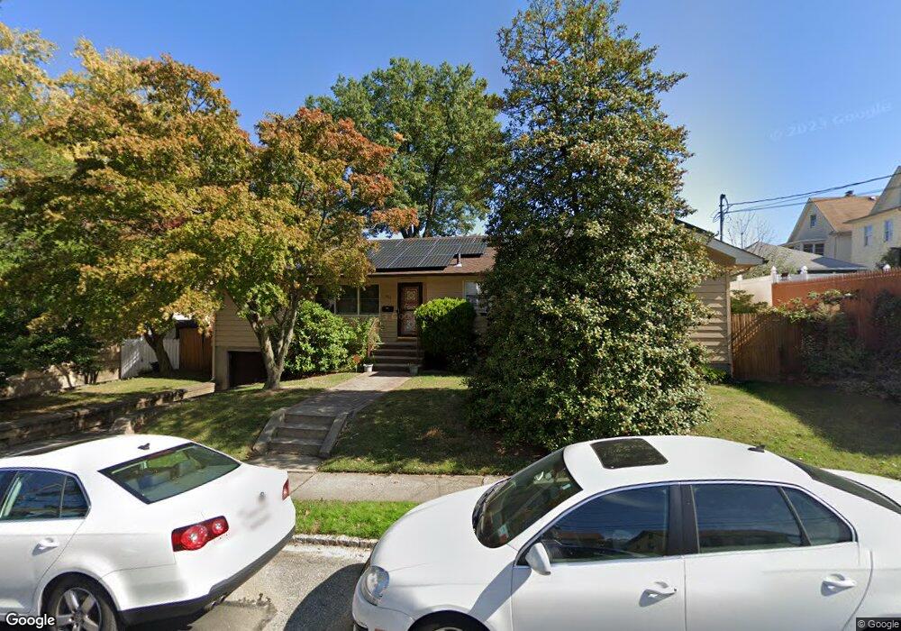
389 Sheffield St Staten Island, NY 10310
West Brighton NeighborhoodEstimated Value: $589,576 - $787,000
--
Bed
4
Baths
956
Sq Ft
$736/Sq Ft
Est. Value
About This Home
This home is located at 389 Sheffield St, Staten Island, NY 10310 and is currently estimated at $703,644, approximately $736 per square foot. 389 Sheffield St is a home located in Richmond County with nearby schools including P.S. 45 John Tyler, Intermediate School 27, and Susan E Wagner High School.
Ownership History
Date
Name
Owned For
Owner Type
Purchase Details
Closed on
Sep 27, 2018
Sold by
Fontana Brian L and Fontana Lynn
Bought by
Kohler Lauren M and Mittnacht William Andrew
Current Estimated Value
Home Financials for this Owner
Home Financials are based on the most recent Mortgage that was taken out on this home.
Original Mortgage
$498,400
Outstanding Balance
$434,634
Interest Rate
4.5%
Mortgage Type
New Conventional
Estimated Equity
$269,010
Create a Home Valuation Report for This Property
The Home Valuation Report is an in-depth analysis detailing your home's value as well as a comparison with similar homes in the area
Home Values in the Area
Average Home Value in this Area
Purchase History
| Date | Buyer | Sale Price | Title Company |
|---|---|---|---|
| Kohler Lauren M | $623,000 | None Available |
Source: Public Records
Mortgage History
| Date | Status | Borrower | Loan Amount |
|---|---|---|---|
| Open | Kohler Lauren M | $498,400 |
Source: Public Records
Tax History Compared to Growth
Tax History
| Year | Tax Paid | Tax Assessment Tax Assessment Total Assessment is a certain percentage of the fair market value that is determined by local assessors to be the total taxable value of land and additions on the property. | Land | Improvement |
|---|---|---|---|---|
| 2025 | $5,748 | $36,240 | $16,962 | $19,278 |
| 2024 | $5,760 | $38,700 | $14,985 | $23,715 |
| 2023 | $5,812 | $30,017 | $14,623 | $15,394 |
| 2022 | $3,194 | $32,280 | $19,320 | $12,960 |
| 2021 | $5,611 | $31,380 | $19,320 | $12,060 |
| 2020 | $2,850 | $27,060 | $19,320 | $7,740 |
| 2019 | $2,474 | $26,820 | $19,320 | $7,500 |
| 2018 | $4,801 | $25,014 | $15,793 | $9,221 |
| 2017 | $4,760 | $24,823 | $16,583 | $8,240 |
| 2016 | $4,372 | $23,419 | $16,182 | $7,237 |
| 2015 | $3,695 | $22,094 | $12,900 | $9,194 |
| 2014 | $3,695 | $20,845 | $14,361 | $6,484 |
Source: Public Records
Map
Nearby Homes
- 386 N Burgher Ave
- 432 Pelton Ave
- 335 Oakland Ave
- 331 Oakland Ave
- 943 Castleton Ave
- 401 Broadway
- 253 Elm St
- 56 South St
- 361 Broadway
- 305 Broadway
- 45 Giacomo Ln
- 244 Delafield Ave
- 31 Giacomo Ln
- 207 N Burgher Ave
- 20 Baker Place
- 1064 Castleton Ave
- 46 Winegar Ln
- 152 Harvest Ave
- 354 Hoyt Ave
- 698 Henderson Ave
- 385 Sheffield St
- 383 Sheffield St
- 419 Delafield Ave
- 421 Delafield Ave
- 417 Delafield Ave
- 379 Sheffield St Unit 381
- 379-381 Sheffield St
- 415 Delafield Ave
- 406 Bement Ave
- 377 Sheffield St
- 408 Bement Ave
- 404 Bement Ave
- 0 Sheffield St
- 431 Delafield Ave
- 375 Sheffield St
- 375 Sheffield St Unit 1
- 400 Bement Ave
- 410 Bement Ave
- 390 Sheffield St
- 386 Sheffield St