Estimated Value: $600,000 - $738,000
--
Bed
--
Bath
2,236
Sq Ft
$294/Sq Ft
Est. Value
About This Home
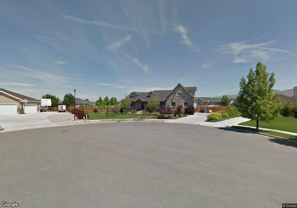
This home is located at 389 Sheridan Cir, Logan, UT 84321 and is currently estimated at $657,312, approximately $293 per square foot. 389 Sheridan Cir is a home with nearby schools including Heritage School, Spring Creek Middle School, and South Cache Middle School.
Ownership History
Date
Name
Owned For
Owner Type
Purchase Details
Closed on
Feb 14, 2013
Sold by
Simpson Christopher L and Simpson Kellie S
Bought by
Simpson Christopher L and Simpson Kellie
Current Estimated Value
Home Financials for this Owner
Home Financials are based on the most recent Mortgage that was taken out on this home.
Original Mortgage
$115,000
Interest Rate
3.36%
Mortgage Type
New Conventional
Create a Home Valuation Report for This Property
The Home Valuation Report is an in-depth analysis detailing your home's value as well as a comparison with similar homes in the area
Home Values in the Area
Average Home Value in this Area
Purchase History
| Date | Buyer | Sale Price | Title Company |
|---|---|---|---|
| Simpson Christopher L | -- | Cache Title Company |
Source: Public Records
Mortgage History
| Date | Status | Borrower | Loan Amount |
|---|---|---|---|
| Closed | Simpson Christopher L | $115,000 |
Source: Public Records
Tax History Compared to Growth
Tax History
| Year | Tax Paid | Tax Assessment Tax Assessment Total Assessment is a certain percentage of the fair market value that is determined by local assessors to be the total taxable value of land and additions on the property. | Land | Improvement |
|---|---|---|---|---|
| 2025 | $2,508 | $332,480 | $0 | $0 |
| 2024 | $2,656 | $330,600 | $0 | $0 |
| 2023 | $2,794 | $325,595 | $0 | $0 |
| 2022 | $2,908 | $325,595 | $0 | $0 |
| 2021 | $2,810 | $488,595 | $75,000 | $413,595 |
| 2020 | $2,816 | $466,138 | $75,000 | $391,138 |
| 2019 | $2,954 | $466,138 | $75,000 | $391,138 |
| 2018 | $2,534 | $390,120 | $50,000 | $340,120 |
| 2017 | $2,422 | $197,560 | $0 | $0 |
| 2016 | $2,449 | $184,635 | $0 | $0 |
| 2015 | $1,809 | $146,890 | $0 | $0 |
| 2014 | $1,768 | $146,890 | $0 | $0 |
| 2013 | -- | $151,565 | $0 | $0 |
Source: Public Records
Map
Nearby Homes
- 396 W 3650 S
- 189 W 3175 S
- 173 W 3175 S
- 3400 S 250 W Unit 2
- 268 W 3400 S Unit 5
- 187 W 3175 S
- 262 W 3400 S Unit 11
- 324 W 3400 S Unit 7
- 278 W 3400 S Unit 10
- 294 W 3400 S Unit 9
- 308 W 3400 S Unit 8
- 338 W 3400 S Unit 6
- 191 W 3175 S Unit U629
- 191 W 3175 S
- 185 W 3175 S
- 186 W 3175 S
- 182 W 3175 S
- 3262 S 470 W
- 3883 S 250 E
- 4009 S Cottonwoods Ct
- 375 Sheridan Cir
- 399 Sheridan Cir
- 376 W 3650 S
- 400 Sheridan Cir
- 416 W 3650 S
- 384 Sheridan Cir
- 356 W 3650 S
- 3700 S 450 W
- 3719 S 300 W
- 364 Sheridan Cir
- 3720 S 450 W
- 336 W 3650 S
- 387 W 3650 S
- 436 W 3650 S
- 413 Sheridan Ridge Ln
- 435 Sheridan Ridge Ln
- 391 Sheridan Ridge Ln
- 391 Sheridan Ln
- 371 W 3650 S
- 421 W 3650 S