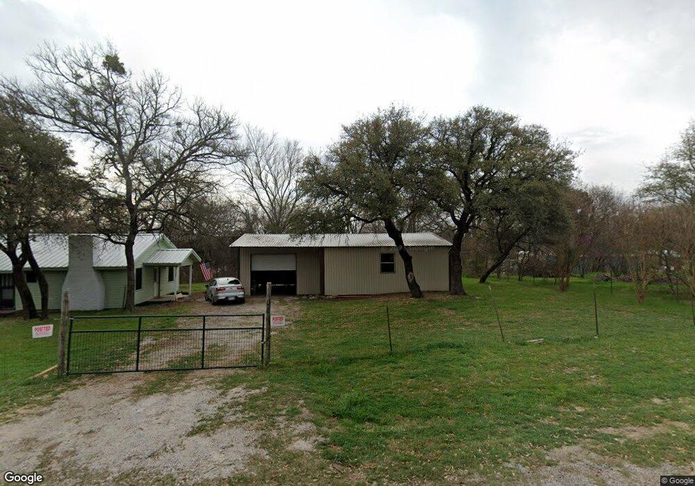
389 Shotgun Dr Weatherford, TX 76087
Estimated Value: $146,000 - $330,000
2
Beds
1
Bath
896
Sq Ft
$242/Sq Ft
Est. Value
About This Home
This home is located at 389 Shotgun Dr, Weatherford, TX 76087 and is currently estimated at $216,519, approximately $241 per square foot. 389 Shotgun Dr is a home located in Parker County with nearby schools including Curtis Elementary School, Hall Middle School, and Weatherford High School.
Ownership History
Date
Name
Owned For
Owner Type
Purchase Details
Closed on
May 11, 2020
Sold by
Robertson Douglas and Robertson Brian
Bought by
Love Eric and Love Lisa Aschenberg
Current Estimated Value
Purchase Details
Closed on
Apr 10, 2018
Sold by
Wilhite Kathy Denise and Parkinson Kay
Bought by
Robertson Douglas and Robertson Brian
Purchase Details
Closed on
Jan 28, 1998
Bought by
Kimery Clarence
Purchase Details
Closed on
Apr 11, 1995
Bought by
Kimery Clarence
Purchase Details
Closed on
Apr 1, 1980
Bought by
Kimery Clarence
Create a Home Valuation Report for This Property
The Home Valuation Report is an in-depth analysis detailing your home's value as well as a comparison with similar homes in the area
Home Values in the Area
Average Home Value in this Area
Purchase History
| Date | Buyer | Sale Price | Title Company |
|---|---|---|---|
| Love Eric | -- | Providence Title Company | |
| Robertson Douglas | -- | None Available | |
| Kimery Clarence | -- | -- | |
| Kimery Clarence | -- | -- | |
| Kimery Clarence | -- | -- |
Source: Public Records
Tax History Compared to Growth
Tax History
| Year | Tax Paid | Tax Assessment Tax Assessment Total Assessment is a certain percentage of the fair market value that is determined by local assessors to be the total taxable value of land and additions on the property. | Land | Improvement |
|---|---|---|---|---|
| 2025 | $2,465 | $120,430 | $25,000 | $95,430 |
| 2024 | $2,465 | $151,940 | $25,000 | $126,940 |
| 2023 | $2,465 | $151,940 | $25,000 | $126,940 |
| 2022 | $1,767 | $95,010 | $20,000 | $75,010 |
| 2021 | $1,913 | $95,010 | $20,000 | $75,010 |
| 2020 | $683 | $33,780 | $4,000 | $29,780 |
| 2019 | $728 | $33,780 | $4,000 | $29,780 |
| 2018 | $518 | $23,810 | $3,000 | $20,810 |
| 2017 | $529 | $23,810 | $3,000 | $20,810 |
| 2016 | $528 | $23,810 | $3,000 | $20,810 |
| 2015 | $96 | $23,810 | $3,000 | $20,810 |
| 2014 | $99 | $23,290 | $3,000 | $20,290 |
Source: Public Records
Map
Nearby Homes
- 246 Comanche Trail
- 329 Longhorn Trail
- 4948 Cimmaron Trail
- 4932 Cimmaron Trail
- 340 Western Lake Dr
- 428 Mesquite Trail
- 4819 Horseshoe Dr
- TBD Western Lake Dr
- 413 Lakeview Trail
- 112 Pioneer Trail
- 1074 Timber Hills Dr
- 190 Mesquite Trail
- 241 Western Lake Dr
- 1009 Timber Hills Dr
- 147 Western Lake Dr
- 4709 Chisholm Trail
- 4783 Brazos Cir
- 191 Wildflower Trail
- TBD 11 Gremminger Ct
- 1000 Elevation Trail
- 380 Longhorn Trail
- 408 Longhorn Trail
- 400 Shotgun Dr
- 400 Shotgun Dr
- 412 Longhorn Trail
- 379 Longhorn Trail
- 404 Shotgun Dr
- 385 Longhorn Trail
- 4915 Pecos Dr
- 409 Longhorn Trail
- 369 Longhorn Trail
- 351 Longhorn Trail
- 417 Shotgun Dr
- 365 Longhorn Trail
- 413 Longhorn Trail
- 422 Longhorn Trail
- 4913 Pecos Dr
- 4924 Chisholm Trail
- 424 Shotgun Dr
- 424 Shotgun Dr