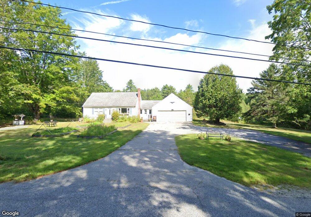
389 Stone Hill Rd Limerick, ME 04048
Estimated Value: $363,000 - $413,000
--
Bed
--
Bath
816
Sq Ft
$470/Sq Ft
Est. Value
About This Home
This home is located at 389 Stone Hill Rd, Limerick, ME 04048 and is currently estimated at $383,926, approximately $470 per square foot. 389 Stone Hill Rd is a home located in York County with nearby schools including Massabesic High School.
Ownership History
Date
Name
Owned For
Owner Type
Purchase Details
Closed on
May 27, 2016
Sold by
Moulton Wayne M
Bought by
Fortin John P and Fortin Michelle J
Current Estimated Value
Home Financials for this Owner
Home Financials are based on the most recent Mortgage that was taken out on this home.
Original Mortgage
$154,241
Outstanding Balance
$122,131
Interest Rate
3.58%
Mortgage Type
Commercial
Estimated Equity
$261,795
Purchase Details
Closed on
Aug 1, 2005
Sold by
Cochran Bradford G and Cochran Kirt J
Bought by
Kristin B Cochran Rt
Create a Home Valuation Report for This Property
The Home Valuation Report is an in-depth analysis detailing your home's value as well as a comparison with similar homes in the area
Home Values in the Area
Average Home Value in this Area
Purchase History
| Date | Buyer | Sale Price | Title Company |
|---|---|---|---|
| Fortin John P | -- | -- | |
| Kristin B Cochran Rt | -- | -- |
Source: Public Records
Mortgage History
| Date | Status | Borrower | Loan Amount |
|---|---|---|---|
| Open | Fortin John P | $154,241 |
Source: Public Records
Tax History Compared to Growth
Tax History
| Year | Tax Paid | Tax Assessment Tax Assessment Total Assessment is a certain percentage of the fair market value that is determined by local assessors to be the total taxable value of land and additions on the property. | Land | Improvement |
|---|---|---|---|---|
| 2025 | $3,322 | $349,674 | $95,840 | $253,834 |
| 2024 | $3,322 | $349,674 | $95,840 | $253,834 |
| 2023 | $2,978 | $195,950 | $56,750 | $139,200 |
| 2022 | $2,782 | $195,950 | $56,750 | $139,200 |
| 2021 | $2,602 | $156,760 | $45,400 | $111,360 |
| 2020 | $2,571 | $156,760 | $45,400 | $111,360 |
| 2019 | $2,469 | $156,760 | $45,400 | $111,360 |
| 2018 | $2,532 | $156,760 | $45,400 | $111,360 |
| 2017 | $2,491 | $156,760 | $45,400 | $111,360 |
| 2016 | $2,359 | $156,760 | $45,400 | $111,360 |
| 2015 | $2,289 | $156,760 | $45,400 | $111,360 |
| 2014 | $2,218 | $156,760 | $45,400 | $111,360 |
Source: Public Records
Map
Nearby Homes
- 394B Stone Hill Rd
- 374 Stone Hill Rd
- 359 Stone Hill Rd
- 427 Stone Hill Rd
- 36 Johnson Rd
- 428 Stone Hill Rd
- 1104 Johnson Rd
- 1 Johnson Rd
- 331 Stone Hill Rd
- 319 Stone Hill Rd
- 44 Johnson Rd
- 435 Stone Hill Rd
- 309 Stone Hill Rd
- 304 Stone Hill Rd
- 305 Stone Hill Rd
- 58 Johnson Rd
- 0 Johnson Rd
- 66 Johnson Rd
- 76 Johnson Rd
- 290 Stone Hill Rd