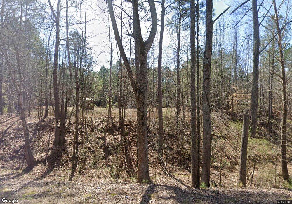
389 Us Highway 78 Tallapoosa, GA 30176
Estimated Value: $85,430 - $210,000
--
Bed
--
Bath
--
Sq Ft
7.5
Acres
About This Home
This home is located at 389 Us Highway 78, Tallapoosa, GA 30176 and is currently estimated at $147,715. 389 Us Highway 78 is a home with nearby schools including Haralson County High School.
Ownership History
Date
Name
Owned For
Owner Type
Purchase Details
Closed on
Mar 13, 2025
Sold by
Walters Patrick
Bought by
Doe Valley Holdings Llc
Current Estimated Value
Purchase Details
Closed on
Sep 19, 2012
Sold by
Rogers Aleshia Lousie
Bought by
Walters Patrick
Purchase Details
Closed on
Sep 2, 2004
Sold by
Rogers Cindy Lea
Bought by
Rogers Aleshia Lousie
Purchase Details
Closed on
Nov 13, 2002
Sold by
Southwood Corp
Bought by
Rogers Cindy L
Purchase Details
Closed on
Jan 14, 1992
Sold by
Southwood Corp
Bought by
Southwood Corp
Purchase Details
Closed on
Mar 13, 1987
Sold by
Rattlesnake Mtn Co
Bought by
Southwood Corp
Purchase Details
Closed on
Mar 29, 1984
Sold by
Bennett Hester
Bought by
Lantimco Co Inc
Create a Home Valuation Report for This Property
The Home Valuation Report is an in-depth analysis detailing your home's value as well as a comparison with similar homes in the area
Home Values in the Area
Average Home Value in this Area
Purchase History
| Date | Buyer | Sale Price | Title Company |
|---|---|---|---|
| Doe Valley Holdings Llc | -- | -- | |
| Walters Patrick | $25,000 | -- | |
| Rogers Aleshia Lousie | -- | -- | |
| Rogers Cindy L | $34,900 | -- | |
| Southwood Corp | $15,000 | -- | |
| Southwood Corp | $40,000 | -- | |
| Rattlesnake Mtn Co | $74,000 | -- | |
| Lantimco Co Inc | -- | -- |
Source: Public Records
Tax History Compared to Growth
Tax History
| Year | Tax Paid | Tax Assessment Tax Assessment Total Assessment is a certain percentage of the fair market value that is determined by local assessors to be the total taxable value of land and additions on the property. | Land | Improvement |
|---|---|---|---|---|
| 2024 | $491 | $18,944 | $18,170 | $774 |
| 2023 | $359 | $13,861 | $13,116 | $746 |
| 2022 | $372 | $13,862 | $13,116 | $746 |
| 2021 | $357 | $12,792 | $12,046 | $746 |
| 2020 | $209 | $7,460 | $6,714 | $746 |
| 2019 | $219 | $7,517 | $6,714 | $803 |
| 2018 | $222 | $7,517 | $6,714 | $803 |
| 2017 | $237 | $7,299 | $6,714 | $585 |
| 2016 | $367 | $11,978 | $11,372 | $606 |
| 2015 | $368 | $11,997 | $11,372 | $626 |
| 2014 | $363 | $12,018 | $11,372 | $646 |
Source: Public Records
Map
Nearby Homes
- 0 George Green Rd Unit 10614283
- 0 George Green Rd Unit 148073
- 0 George Green Rd Unit 148074
- 0 George Green Rd Unit 10558286
- 0 George Green Rd Unit 10558285
- Off Us Hwy 78 Unit LotWP001
- 0 Highway 78 Unit 18172206
- 302 Riverside Rd
- 80 Sanders Creek Rd
- 0 J Davis Rd Unit LotWP001
- 295 J Davis Rd Unit LotWP001
- 0 Williamson Rd Unit 7660484
- 0 Williamson Rd Unit 10618560
- 1304 Broad St
- 10 + - Acres On J Davis Rd
- 78 Cook St
- 897 George Green Rd
- 0 County Road 290 Unit 20167337
- 2234 Providence Church Rd
- 267 Williams Rd
- 413 Highway 78
- 413 Us Hwy 78 W
- 413 Us Highway 78 W
- 413 U S 78
- 413 Us Highway 78
- 214 Doe Valley Rd
- 00 George Green Rd
- 0 George Green Rd
- 0 George Green Rd Unit 10416551
- 0 George Green Rd Unit 7226437
- 0 George Green Rd Unit 7421197
- 0 George Green Rd Unit 7327809
- 115 Shealy Rd
- 115 Shealy Rd
- 212 Doe Valley Rd
- 210 Doe Valley Rd
- 573 Us Highway 78
- 0 Doe Valley Dr
- 301 Shealy Rd
- 22 George Green Rd