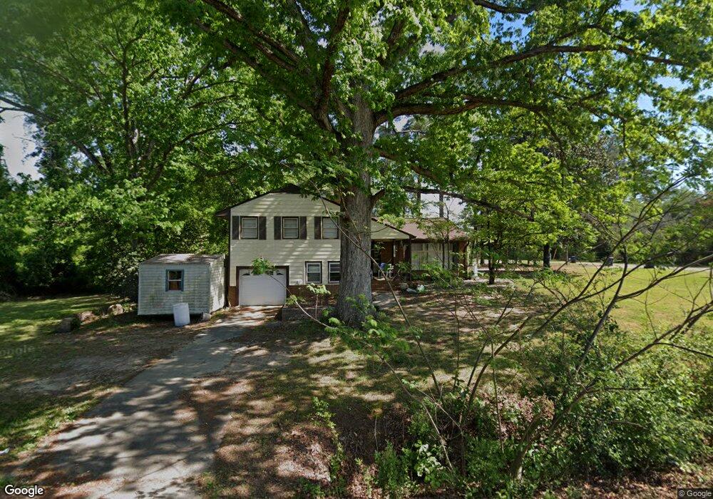
389 W Cole Ave Raeford, NC 28376
Estimated Value: $181,000 - $220,427
--
Bed
2
Baths
1,442
Sq Ft
$140/Sq Ft
Est. Value
About This Home
This home is located at 389 W Cole Ave, Raeford, NC 28376 and is currently estimated at $201,857, approximately $139 per square foot. 389 W Cole Ave is a home located in Hoke County with nearby schools including West Hoke Elementary School, West Hoke Middle, and Hoke County High.
Ownership History
Date
Name
Owned For
Owner Type
Purchase Details
Closed on
Feb 28, 2014
Sold by
Stanley Nathan and Stanley Rachel
Bought by
Craven Mark D and Craven Amber M
Current Estimated Value
Home Financials for this Owner
Home Financials are based on the most recent Mortgage that was taken out on this home.
Original Mortgage
$96,938
Outstanding Balance
$73,483
Interest Rate
4.42%
Estimated Equity
$128,374
Purchase Details
Closed on
Aug 3, 2005
Sold by
Evans Catherine and Coleman Marie
Bought by
Stanley Nathan and Stanley Rachel
Home Financials for this Owner
Home Financials are based on the most recent Mortgage that was taken out on this home.
Original Mortgage
$82,348
Interest Rate
5.57%
Mortgage Type
FHA
Create a Home Valuation Report for This Property
The Home Valuation Report is an in-depth analysis detailing your home's value as well as a comparison with similar homes in the area
Home Values in the Area
Average Home Value in this Area
Purchase History
| Date | Buyer | Sale Price | Title Company |
|---|---|---|---|
| Craven Mark D | $95,000 | None Available | |
| Stanley Nathan | $83,000 | None Available |
Source: Public Records
Mortgage History
| Date | Status | Borrower | Loan Amount |
|---|---|---|---|
| Open | Craven Mark D | $96,938 | |
| Previous Owner | Stanley Nathan | $82,348 |
Source: Public Records
Tax History Compared to Growth
Tax History
| Year | Tax Paid | Tax Assessment Tax Assessment Total Assessment is a certain percentage of the fair market value that is determined by local assessors to be the total taxable value of land and additions on the property. | Land | Improvement |
|---|---|---|---|---|
| 2025 | $911 | $124,770 | $26,270 | $98,500 |
| 2024 | $911 | $124,770 | $26,270 | $98,500 |
| 2023 | $911 | $124,770 | $26,270 | $98,500 |
| 2022 | $893 | $124,770 | $26,270 | $98,500 |
| 2021 | $877 | $119,330 | $26,270 | $93,060 |
| 2020 | $895 | $119,330 | $26,270 | $93,060 |
| 2019 | $895 | $119,330 | $26,270 | $93,060 |
| 2018 | $895 | $119,330 | $26,270 | $93,060 |
| 2017 | $895 | $119,330 | $26,270 | $93,060 |
| 2016 | $877 | $119,330 | $26,270 | $93,060 |
| 2015 | $877 | $119,330 | $26,270 | $93,060 |
| 2014 | $871 | $119,330 | $26,270 | $93,060 |
| 2013 | -- | $82,720 | $19,700 | $63,020 |
Source: Public Records
Map
Nearby Homes
- 388 Union St
- 383 Union St
- Hamel Plan at Saddle Run
- Camargue Plan at Saddle Run
- Lyon Plan at Saddle Run
- 182 Ainsdale Warren (Lot 6) Ct
- 755 Laurinburg Rd
- 281 Apple Tree Cir
- 401 U S 401
- 116 N Wright St
- 124 N Wright St
- 109 N Dickson St
- 0 Wallace McLean Unit 735470
- 212 N Roberts St
- 320 Traveller Way
- 833 W Prospect Ave
- 259 Palomo Place
- 206 Palomo Place
- 528 Traveller Way
- 514 Ashley Heights (Lot 87) Dr
- 126 Center Dr
- 380 Cole Ave
- 204 Center Dr
- 122 Center Dr
- 153 Springhaven Dr
- 1397 Johnson Mill Rd
- 1487 Johnson Mill Rd
- 414 Union St
- 459 Union St
- 143 Springhaven Dr
- 413 Union St
- 397 Union St
- 167 Springhaven Dr
- 131 Springhaven Dr
- 405 W Cole Ave
- 346 Cole Ave
- 120 Center Dr
- 404 W Cole Ave
- 427 W Cole Ave
- 111 Center Dr