389 Wallace St Manchester, KY 40962
Estimated Value: $163,000 - $239,412
3
Beds
2
Baths
2,270
Sq Ft
$87/Sq Ft
Est. Value
About This Home
This home is located at 389 Wallace St, Manchester, KY 40962 and is currently estimated at $196,603, approximately $86 per square foot. 389 Wallace St is a home located in Clay County with nearby schools including Clay County High School and Manchester Christian Academy.
Ownership History
Date
Name
Owned For
Owner Type
Purchase Details
Closed on
May 26, 2023
Sold by
Becknell Jarrod Lee and Becknell Kayla Maria
Bought by
Bratcher James Michael and Bratcher Sandra Rebecca
Current Estimated Value
Purchase Details
Closed on
Jun 7, 2021
Sold by
Roberts Wayne
Bought by
Becknell Jarrod
Home Financials for this Owner
Home Financials are based on the most recent Mortgage that was taken out on this home.
Original Mortgage
$147,283
Interest Rate
2.9%
Mortgage Type
FHA
Create a Home Valuation Report for This Property
The Home Valuation Report is an in-depth analysis detailing your home's value as well as a comparison with similar homes in the area
Home Values in the Area
Average Home Value in this Area
Purchase History
| Date | Buyer | Sale Price | Title Company |
|---|---|---|---|
| Bratcher James Michael | $177,700 | None Listed On Document | |
| Becknell Jarrod | $150,000 | Kentucky Mtn Land Title |
Source: Public Records
Mortgage History
| Date | Status | Borrower | Loan Amount |
|---|---|---|---|
| Previous Owner | Becknell Jarrod | $147,283 |
Source: Public Records
Tax History Compared to Growth
Tax History
| Year | Tax Paid | Tax Assessment Tax Assessment Total Assessment is a certain percentage of the fair market value that is determined by local assessors to be the total taxable value of land and additions on the property. | Land | Improvement |
|---|---|---|---|---|
| 2024 | $2,124 | $177,700 | $0 | $0 |
| 2023 | $1,790 | $150,000 | $0 | $0 |
| 2022 | $1,772 | $150,000 | $0 | $0 |
| 2021 | $584 | $90,000 | $0 | $0 |
| 2020 | $595 | $90,000 | $0 | $0 |
| 2019 | $474 | $70,000 | $0 | $0 |
| 2018 | $484 | $80,000 | $0 | $0 |
| 2017 | -- | $0 | $0 | $0 |
| 2016 | $462 | $0 | $0 | $0 |
| 2015 | $436 | $0 | $0 | $0 |
| 2014 | $436 | $0 | $0 | $0 |
| 2013 | $436 | $0 | $0 | $0 |
Source: Public Records
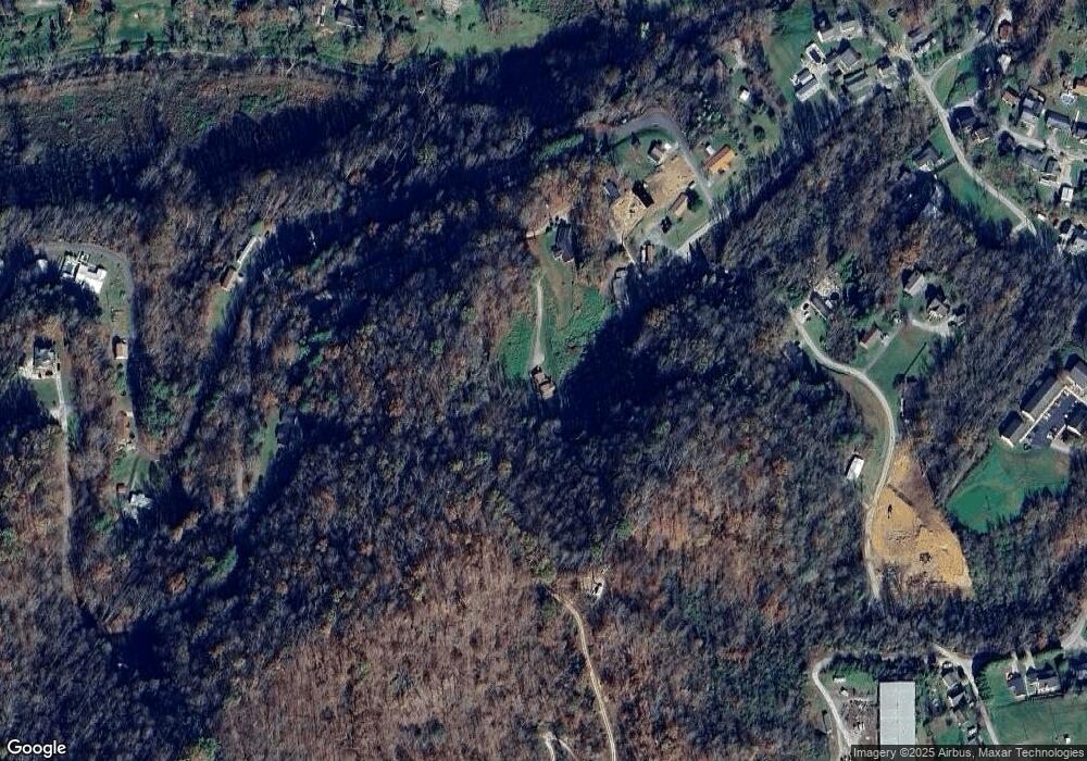
Map
Nearby Homes
- 111 House Ave
- 00 Hwy 421 Richmond Rd
- 85 Blackwell Dr
- 0 Kentucky 11
- 9999 Memorial Dr
- 1 Kentucky 11
- 8549 Us Highway 421
- 307 River St
- 239 Railroad Ave
- 215 Colony Rd
- 102 Locust St
- 91 Jones St
- 31, 32, 33 Justice Dr
- 799 Coal Hollow Rd
- 2251 U S 421
- 173 Charlie Sizemore Rd
- 198 Crawford Isom Rd
- 000 Jackson Smith Rd
- 0 Jackson Smith Rd
- 55 Whispering Oaks Ln
- 80 Wallace St
- 150 Wallace St
- 199 Wallace St
- 242 Wallace St
- 226 Wallace St
- 271 Wallace St
- 109 Millpond Dr
- 19 Roger Rice Ave
- 53 Roger Rice Ave
- 58 Roger Rice Ave
- 366 Cemetery Rd
- 78 Clearview Dr
- 54 Clearview Dr
- 123 Memory Ln
- 139 Memory Ln
- 199 Memory Ln
- 234 Memory Ln
- 46 Memory Ln
- 232 Green St
- 211 Green St