3890 Maynard Rd Delaware, OH 43015
Concord NeighborhoodEstimated Value: $579,000 - $678,000
4
Beds
3
Baths
2,457
Sq Ft
$253/Sq Ft
Est. Value
About This Home
This home is located at 3890 Maynard Rd, Delaware, OH 43015 and is currently estimated at $621,814, approximately $253 per square foot. 3890 Maynard Rd is a home located in Delaware County with nearby schools including Buckeye Valley High School and Delaware Christian School.
Ownership History
Date
Name
Owned For
Owner Type
Purchase Details
Closed on
Dec 2, 2016
Sold by
Grace Randall K and Murphey Cecilia A
Bought by
Holmes Scott D
Current Estimated Value
Purchase Details
Closed on
Sep 17, 2004
Sold by
Leader Charles R
Bought by
Grace Randall K and Murphey Cecelia A
Home Financials for this Owner
Home Financials are based on the most recent Mortgage that was taken out on this home.
Original Mortgage
$224,800
Interest Rate
5.95%
Mortgage Type
Purchase Money Mortgage
Create a Home Valuation Report for This Property
The Home Valuation Report is an in-depth analysis detailing your home's value as well as a comparison with similar homes in the area
Home Values in the Area
Average Home Value in this Area
Purchase History
| Date | Buyer | Sale Price | Title Company |
|---|---|---|---|
| Holmes Scott D | -- | Attorney | |
| Grace Randall K | $281,000 | Midland Celtic Title |
Source: Public Records
Mortgage History
| Date | Status | Borrower | Loan Amount |
|---|---|---|---|
| Previous Owner | Grace Randall K | $224,800 | |
| Closed | Grace Randall K | $56,200 |
Source: Public Records
Tax History
| Year | Tax Paid | Tax Assessment Tax Assessment Total Assessment is a certain percentage of the fair market value that is determined by local assessors to be the total taxable value of land and additions on the property. | Land | Improvement |
|---|---|---|---|---|
| 2024 | $5,928 | $169,760 | $79,560 | $90,200 |
| 2023 | $5,922 | $169,760 | $79,560 | $90,200 |
| 2022 | $5,316 | $137,620 | $49,700 | $87,920 |
| 2021 | $5,318 | $137,620 | $49,700 | $87,920 |
| 2020 | $5,352 | $137,620 | $49,700 | $87,920 |
| 2019 | $4,652 | $109,560 | $41,410 | $68,150 |
| 2018 | $4,725 | $109,560 | $41,410 | $68,150 |
| 2017 | $4,399 | $103,990 | $32,760 | $71,230 |
| 2016 | $4,211 | $103,990 | $32,760 | $71,230 |
| 2015 | $4,434 | $103,990 | $32,760 | $71,230 |
| 2014 | $4,182 | $103,990 | $32,760 | $71,230 |
| 2013 | $4,187 | $100,590 | $32,760 | $67,830 |
Source: Public Records
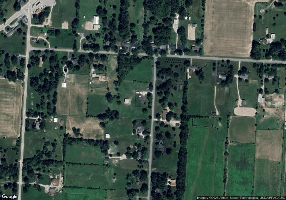
Map
Nearby Homes
- 2036 Ford Rd
- 2028 Ford Rd
- 2004 Ford Rd
- 2000 Ford Rd
- 3226 Bean Oller Rd
- 5291 Dublin Rd
- 0 Ford Rd Unit 2 225010580
- 0 Ford Rd Unit Tract 6 225010615
- 0 Ford Rd Unit 1 225010573
- 4910 State Route 257 S
- 0 Clark-Shaw Rd Unit 225020834
- 4032 Stonehill Way
- 5370 Dublin Rd
- 2098 Us Highway 42 S
- 6098 S Section Line Rd
- 3441 Crimson Stone Dr
- 5786 Shadowfair Ln
- Hudson Plan at Woodcrest Crossing
- Worthington Plan at Woodcrest Crossing
- Caymus Plan at Woodcrest Crossing
- 3970 Maynard Rd
- 3925 Maynard Rd
- 3845 Maynard Rd
- 4015 Maynard Rd
- 4020 Maynard Rd
- 3945 Bunty Station Rd
- 3818 Bunty Station Rd
- 3790 Bunty Station Rd
- 3679 Bunty Station Rd
- 3830 Bunty Station Rd
- 3770 Bunty Station Rd
- 3850 Bunty Station Rd
- 3750 Bunty Station Rd
- 3880 Bunty Station Rd
- 3720 Bunty Station Rd
- 3680 Bunty Station Rd
- 3916 Bunty Station Rd
- 4005 Bunty Station Rd
- 0 Maynard Rd
- 4070 Maynard Rd
Your Personal Tour Guide
Ask me questions while you tour the home.