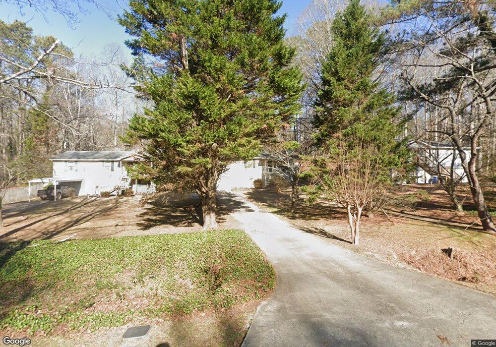
3890 Paul St Douglasville, GA 30135
Lithia Springs NeighborhoodEstimated Value: $203,000 - $255,000
3
Beds
2
Baths
1,170
Sq Ft
$195/Sq Ft
Est. Value
About This Home
This home is located at 3890 Paul St, Douglasville, GA 30135 and is currently estimated at $227,905, approximately $194 per square foot. 3890 Paul St is a home located in Douglas County with nearby schools including Mt. Carmel Elementary School, Chestnut Log Middle School, and New Manchester High School.
Ownership History
Date
Name
Owned For
Owner Type
Purchase Details
Closed on
Oct 20, 1998
Sold by
Lane Russell A and Lane Laura K
Bought by
Watts Terri R
Current Estimated Value
Home Financials for this Owner
Home Financials are based on the most recent Mortgage that was taken out on this home.
Original Mortgage
$82,722
Interest Rate
6.71%
Mortgage Type
FHA
Purchase Details
Closed on
Apr 11, 1996
Sold by
Galon David Ramona H
Bought by
Lane Russell A Laura K
Create a Home Valuation Report for This Property
The Home Valuation Report is an in-depth analysis detailing your home's value as well as a comparison with similar homes in the area
Home Values in the Area
Average Home Value in this Area
Purchase History
| Date | Buyer | Sale Price | Title Company |
|---|---|---|---|
| Watts Terri R | $85,000 | -- | |
| Lane Russell A Laura K | $72,900 | -- |
Source: Public Records
Mortgage History
| Date | Status | Borrower | Loan Amount |
|---|---|---|---|
| Previous Owner | Watts Terri R | $82,722 | |
| Closed | Lane Russell A Laura K | $0 |
Source: Public Records
Tax History Compared to Growth
Tax History
| Year | Tax Paid | Tax Assessment Tax Assessment Total Assessment is a certain percentage of the fair market value that is determined by local assessors to be the total taxable value of land and additions on the property. | Land | Improvement |
|---|---|---|---|---|
| 2024 | $1,088 | $70,840 | $19,040 | $51,800 |
| 2023 | $1,088 | $70,560 | $19,040 | $51,520 |
| 2022 | $1,829 | $52,840 | $11,200 | $41,640 |
| 2021 | $1,686 | $47,480 | $12,200 | $35,280 |
| 2020 | $1,444 | $37,840 | $9,720 | $28,120 |
| 2019 | $1,342 | $36,720 | $9,720 | $27,000 |
| 2018 | $1,142 | $31,400 | $8,480 | $22,920 |
| 2017 | $1,150 | $31,360 | $9,280 | $22,080 |
| 2016 | $1,089 | $29,400 | $8,600 | $20,800 |
| 2015 | $834 | $22,540 | $6,800 | $15,740 |
| 2014 | $764 | $21,356 | $6,920 | $14,436 |
| 2013 | -- | $21,876 | $7,160 | $14,716 |
Source: Public Records
Map
Nearby Homes
- 3825 Bentley Dr
- 3811 Paul St
- 2539 Slater Mill Rd
- 2627 Carol Cir
- 2529 Slater Mill Rd
- 2519 Slater Mill Rd
- 4912 Saint Johns Dr
- 2509 Slater Mill Rd
- 2499 Slater Mill Rd
- 4155 Prestley Mill Rd
- 3159 W Point Cir
- 5260 Prestley Crossing Ln
- 0 Slater Mill Rd Unit 7591224
- 0 Slater Mill Rd Unit 10535776
- 5264 Prestley Crossing Ln
- 2709 Gentry Dr
- 4000 Landmark Dr
- 3721 Longview Dr
- 0 Presley Place Unit 9066983
- 2280 Pope Rd
- 3898 Paul St
- 3882 Paul St
- 3906 Paul St
- 3874 Paul St
- 3881 Bentley Dr
- 3873 Bentley Dr
- 3889 Bentley Dive
- 3889 Bentley Dr
- 3865 Bentley Dr
- 3883 Paul St
- 3856 Paul St
- 3875 Paul St
- 0 Paul St Unit 7522665
- 0 Paul St Unit 8728613
- 0 Paul St Unit 8604303
- 0 Paul St Unit 8541289
- 0 Paul St Unit 8542154
- 0 Paul St Unit 8373319
- 0 Paul St Unit 8295052
- 0 Paul St Unit 8204477