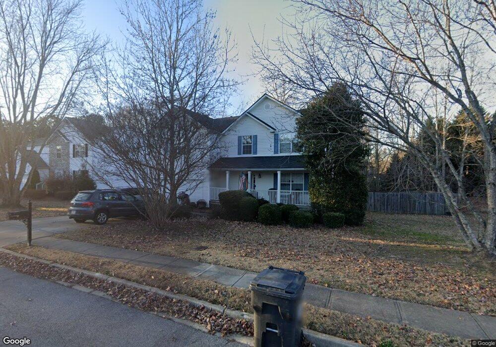
3895 Bradford Walk Trail Unit 26 Buford, GA 30519
Estimated Value: $418,000 - $464,000
3
Beds
3
Baths
2,448
Sq Ft
$179/Sq Ft
Est. Value
About This Home
This home is located at 3895 Bradford Walk Trail Unit 26, Buford, GA 30519 and is currently estimated at $437,406, approximately $178 per square foot. 3895 Bradford Walk Trail Unit 26 is a home located in Gwinnett County with nearby schools including Harmony Elementary School and Glenn C. Jones Middle School.
Ownership History
Date
Name
Owned For
Owner Type
Purchase Details
Closed on
Aug 30, 2001
Sold by
Mccloy Timothy L
Bought by
Mccloy Timothy L and Mccloy Beth A
Current Estimated Value
Home Financials for this Owner
Home Financials are based on the most recent Mortgage that was taken out on this home.
Original Mortgage
$162,100
Outstanding Balance
$61,697
Interest Rate
6.97%
Mortgage Type
FHA
Estimated Equity
$375,709
Create a Home Valuation Report for This Property
The Home Valuation Report is an in-depth analysis detailing your home's value as well as a comparison with similar homes in the area
Home Values in the Area
Average Home Value in this Area
Purchase History
| Date | Buyer | Sale Price | Title Company |
|---|---|---|---|
| Mccloy Timothy L | -- | -- | |
| Mccloy Timothy L | $164,700 | -- |
Source: Public Records
Mortgage History
| Date | Status | Borrower | Loan Amount |
|---|---|---|---|
| Open | Mccloy Timothy L | $162,100 |
Source: Public Records
Tax History Compared to Growth
Tax History
| Year | Tax Paid | Tax Assessment Tax Assessment Total Assessment is a certain percentage of the fair market value that is determined by local assessors to be the total taxable value of land and additions on the property. | Land | Improvement |
|---|---|---|---|---|
| 2025 | $4,656 | $182,320 | $40,000 | $142,320 |
| 2024 | $4,531 | $169,120 | $30,000 | $139,120 |
| 2023 | $4,531 | $169,120 | $30,000 | $139,120 |
| 2022 | $4,101 | $150,040 | $26,800 | $123,240 |
| 2021 | $3,340 | $110,720 | $18,960 | $91,760 |
| 2020 | $3,365 | $110,720 | $18,960 | $91,760 |
| 2019 | $3,124 | $103,080 | $17,200 | $85,880 |
| 2018 | $2,884 | $91,880 | $14,800 | $77,080 |
| 2016 | $2,490 | $72,680 | $12,000 | $60,680 |
| 2015 | $2,510 | $72,680 | $12,000 | $60,680 |
| 2014 | -- | $66,880 | $12,000 | $54,880 |
Source: Public Records
Map
Nearby Homes
- 3606 Andover Way
- 3075 Andover Trail
- 3421 Andover Way
- 3939 Bessemer Dr Unit 2
- 3210 Golden Spring Dr Unit 1
- 3170 Tallulah Dr
- 3200 Golden Spring Dr
- 3555 Rivers End Place Unit I
- 4165 Bradford Walk Trail
- 3125 Bart Johnson Rd
- 3501 Bogan Mill Rd
- 3501 Bogan Mill Rd NE
- 3345 Stoneleigh Run Dr
- 3032 Seneca Farm Ln
- 3600 Bogan Mill Rd
- Sumner Plan at Oakmead
- Essex Plan at Oakmead
- Ingram Plan at Oakmead
- Trenton Plan at Oakmead
- 4024 Dantry Ln
- 3895 Bradford Walk Trail
- 3875 Bradford Walk Trail Unit 25
- 3875 Bradford Walk Trail
- 3905 Bradford Walk Trail
- 3285 Goldsboro Mill Ln
- 3285 Goldsboro Mill Ln Unit 2
- 3295 Goldsboro Mill Ln Unit 2
- 3281 Blaisdell Rd Unit 2
- 3890 Bradford Walk Trail Unit 2
- 3880 Bradford Walk Trail Unit 2
- 3865 Bradford Walk Trail
- 3915 Bradford Walk Trail
- 3900 Bradford Walk Trail
- 3275 Goldsboro Mill Ln Unit 2
- 3291 Blaisdell Rd Unit 2
- 3870 Bradford Walk Trail Unit 2
- 3925 Bradford Walk Trail Unit 2
- 3925 Bradford Walk Trail
- 3860 Bradford Walk Trail
- 3855 Bradford Walk Trail