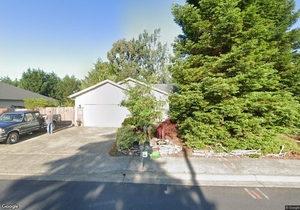
3895 Spruce St Florence, OR 97439
Estimated Value: $445,000 - $546,000
3
Beds
2
Baths
1,832
Sq Ft
$276/Sq Ft
Est. Value
About This Home
This home is located at 3895 Spruce St, Florence, OR 97439 and is currently estimated at $505,421, approximately $275 per square foot. 3895 Spruce St is a home located in Lane County with nearby schools including Siuslaw Elementary School, Siuslaw Middle School, and Siuslaw High School.
Ownership History
Date
Name
Owned For
Owner Type
Purchase Details
Closed on
Mar 28, 2018
Sold by
Mcleod Sharon L
Bought by
Mcleod Sharon L and Thomas Juliet F
Current Estimated Value
Purchase Details
Closed on
Apr 24, 2001
Sold by
Jay Audiss and Audiss Linda L
Bought by
Mcleod Sharon L
Home Financials for this Owner
Home Financials are based on the most recent Mortgage that was taken out on this home.
Original Mortgage
$105,200
Interest Rate
6.98%
Create a Home Valuation Report for This Property
The Home Valuation Report is an in-depth analysis detailing your home's value as well as a comparison with similar homes in the area
Home Values in the Area
Average Home Value in this Area
Purchase History
| Date | Buyer | Sale Price | Title Company |
|---|---|---|---|
| Mcleod Sharon L | -- | None Listed On Document | |
| Mcleod Sharon L | $131,500 | Western Pioneer Title Co |
Source: Public Records
Mortgage History
| Date | Status | Borrower | Loan Amount |
|---|---|---|---|
| Previous Owner | Mcleod Sharon L | $105,200 |
Source: Public Records
Tax History Compared to Growth
Tax History
| Year | Tax Paid | Tax Assessment Tax Assessment Total Assessment is a certain percentage of the fair market value that is determined by local assessors to be the total taxable value of land and additions on the property. | Land | Improvement |
|---|---|---|---|---|
| 2024 | $3,750 | $274,774 | -- | -- |
| 2023 | $3,750 | $266,771 | $0 | $0 |
| 2022 | $3,498 | $259,001 | $0 | $0 |
| 2021 | $3,427 | $251,458 | $0 | $0 |
| 2020 | $3,336 | $244,134 | $0 | $0 |
| 2019 | $3,212 | $237,024 | $0 | $0 |
| 2018 | $3,218 | $223,418 | $0 | $0 |
| 2017 | $3,104 | $223,418 | $0 | $0 |
| 2016 | $3,016 | $216,911 | $0 | $0 |
| 2015 | $2,951 | $210,593 | $0 | $0 |
| 2014 | $2,899 | $204,459 | $0 | $0 |
Source: Public Records
Map
Nearby Homes
- 3890 Spruce St
- 3925 Munsel Creek Dr
- 3760 Highway 101 Unit 16
- 1629 38th Loop
- 865 Western Way
- 0 35th - Hwy 101 Unit 6600 22360183
- 1577 37th St
- 1575 37th St
- 1573 37th St
- 1571 37th St
- 1587 37th St
- 1585 37th St
- 1583 37th St
- 1581 37th St
- 1595 37th St
- 1593 37th St
- 1591 37th St
- 1640 36th St
- 1966 34th St
- 3275 Redwood Loop
- 3885 Spruce St
- 3929 Spruce St
- 3875 Spruce St
- 3949 Spruce St
- 3870 Spruce St
- 3855 Spruce St
- 3932 Spruce St
- 3910 Munsel Creek Dr
- 3979 Spruce St
- 3952 Spruce St
- 3850 Spruce St
- 3920 Munsel Creek Dr
- 3945 Munsel Creek Dr
- 3820 Highway 101
- 3860 Spruce St
- 1960 40th St
- 2022 40th St
- 3930 Munsel Creek Dr
- 3760 Highway 101 Unit 21
- 3760 Highway 101