3899 Rolling Acres Dr Fremont, MI 49412
Estimated Value: $311,000 - $479,000
4
Beds
4
Baths
3,344
Sq Ft
$119/Sq Ft
Est. Value
About This Home
This home is located at 3899 Rolling Acres Dr, Fremont, MI 49412 and is currently estimated at $398,266, approximately $119 per square foot. 3899 Rolling Acres Dr is a home located in Newaygo County with nearby schools including Daisy Brook Elementary School, Pathfinder Elementary School, and Quest High School.
Ownership History
Date
Name
Owned For
Owner Type
Purchase Details
Closed on
May 25, 2004
Sold by
Schmid Jeanne B
Bought by
Dekryger Phillip and Dekryger Dawn
Current Estimated Value
Home Financials for this Owner
Home Financials are based on the most recent Mortgage that was taken out on this home.
Original Mortgage
$70,000
Interest Rate
5.91%
Mortgage Type
Purchase Money Mortgage
Create a Home Valuation Report for This Property
The Home Valuation Report is an in-depth analysis detailing your home's value as well as a comparison with similar homes in the area
Home Values in the Area
Average Home Value in this Area
Purchase History
| Date | Buyer | Sale Price | Title Company |
|---|---|---|---|
| Dekryger Phillip | $173,000 | Metropolitan Title Company | |
| Dekryger Phillip | $173,000 | -- |
Source: Public Records
Mortgage History
| Date | Status | Borrower | Loan Amount |
|---|---|---|---|
| Closed | Dekryger Phillip | $70,000 |
Source: Public Records
Tax History Compared to Growth
Tax History
| Year | Tax Paid | Tax Assessment Tax Assessment Total Assessment is a certain percentage of the fair market value that is determined by local assessors to be the total taxable value of land and additions on the property. | Land | Improvement |
|---|---|---|---|---|
| 2025 | $3,921 | $200,100 | $0 | $0 |
| 2024 | $13 | $181,400 | $0 | $0 |
| 2023 | $1,253 | $153,400 | $0 | $0 |
| 2022 | $3,598 | $143,600 | $0 | $0 |
| 2021 | $3,530 | $134,900 | $0 | $0 |
| 2020 | $3,452 | $137,100 | $0 | $0 |
| 2019 | $3,290 | $108,600 | $0 | $0 |
| 2018 | $3,197 | $99,900 | $0 | $0 |
| 2017 | $3,164 | $100,500 | $0 | $0 |
| 2016 | $2,856 | $99,300 | $0 | $0 |
| 2015 | -- | $98,600 | $0 | $0 |
| 2014 | -- | $92,300 | $0 | $0 |
Source: Public Records
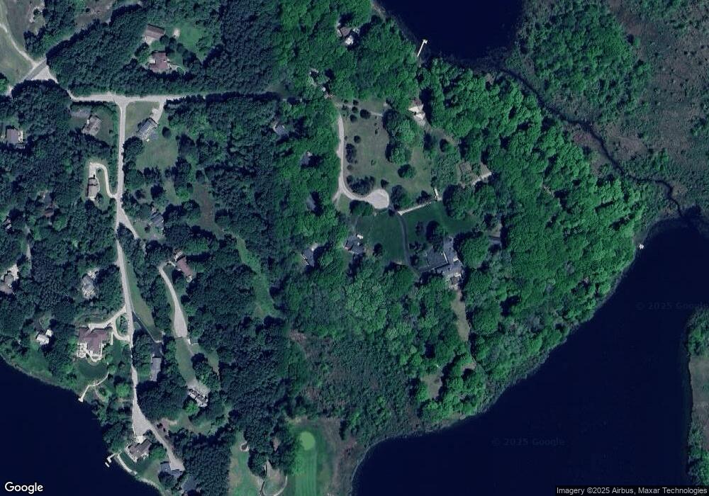
Map
Nearby Homes
- 3710 Ramshorn Dr
- 4154 Sunset Dr
- 415 Vista Ln
- 734 N Stewart Ave
- Integrity 2190 Plan at Hillcrest
- Integrity 2085 Plan at Hillcrest
- Integrity 2080 Plan at Hillcrest
- Integrity 1610 Plan at Hillcrest
- integrity 1800 Plan at Hillcrest
- Integrity 1605 Plan at Hillcrest
- Integrity 1880 Plan at Hillcrest
- integrity 2280 Plan at Hillcrest
- integrity 1830 Plan at Hillcrest
- Integrity 2000 Plan at Hillcrest
- Integrity 1750 Plan at Hillcrest
- Integrity 2061 V8.1a Plan at Hillcrest
- Integrity 2060 Plan at Hillcrest
- Integrity 1910 Plan at Hillcrest
- 203 Baden Place
- 340 E Cherry St
- 3895 Rolling Acres Dr
- 3906 Rolling Acres Dr
- 3845 Rolling Acres Dr
- 3790 Rolling Acres Dr
- 3918 Skyline Dr
- 3831 Rolling Acres Dr
- 3804 Rolling Acres Dr
- 3930 Sheridan Line Rd
- 3801 Rolling Acres Dr
- 3993 Skyline Dr
- 3890 Skyline Dr
- 3996 Shorewood Dr
- 3640 Shorewood Dr
- 0 Shorewood Dr
- 3638 Shorewood Dr
- 4022 Shorewood Dr
- 3860 Shorewood Dr
- 3919 Shorewood Dr
- 4681 S Tower Ln
- 3947 Shorewood Dr