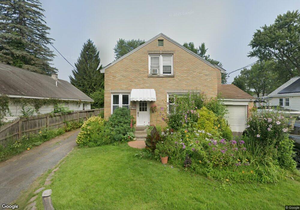
38A Mcnutt Ave Albany, NY 12205
Estimated Value: $243,000 - $367,362
3
Beds
2
Baths
1,536
Sq Ft
$210/Sq Ft
Est. Value
About This Home
This home is located at 38A Mcnutt Ave, Albany, NY 12205 and is currently estimated at $322,091, approximately $209 per square foot. 38A Mcnutt Ave is a home located in Albany County with nearby schools including Roessleville School, Sand Creek Middle School, and Colonie Central High School.
Ownership History
Date
Name
Owned For
Owner Type
Purchase Details
Closed on
Mar 27, 2015
Sold by
Martin Joseph A
Bought by
Burnham Jeffrey A
Current Estimated Value
Home Financials for this Owner
Home Financials are based on the most recent Mortgage that was taken out on this home.
Original Mortgage
$206,196
Outstanding Balance
$157,575
Interest Rate
3.62%
Mortgage Type
FHA
Estimated Equity
$164,516
Purchase Details
Closed on
Jul 23, 2007
Sold by
Lebarron Arthur
Bought by
Martin Joseph
Create a Home Valuation Report for This Property
The Home Valuation Report is an in-depth analysis detailing your home's value as well as a comparison with similar homes in the area
Home Values in the Area
Average Home Value in this Area
Purchase History
| Date | Buyer | Sale Price | Title Company |
|---|---|---|---|
| Burnham Jeffrey A | $210,500 | None Available | |
| Martin Joseph | $150,000 | Stanley Segal |
Source: Public Records
Mortgage History
| Date | Status | Borrower | Loan Amount |
|---|---|---|---|
| Open | Burnham Jeffrey A | $206,196 |
Source: Public Records
Tax History Compared to Growth
Tax History
| Year | Tax Paid | Tax Assessment Tax Assessment Total Assessment is a certain percentage of the fair market value that is determined by local assessors to be the total taxable value of land and additions on the property. | Land | Improvement |
|---|---|---|---|---|
| 2024 | $5,395 | $110,300 | $27,600 | $82,700 |
| 2023 | $5,214 | $110,300 | $27,600 | $82,700 |
| 2022 | $5,081 | $110,300 | $27,600 | $82,700 |
| 2021 | $5,016 | $110,300 | $27,600 | $82,700 |
| 2020 | $5,173 | $110,300 | $27,600 | $82,700 |
| 2019 | $2,317 | $110,300 | $27,600 | $82,700 |
| 2018 | $5,097 | $110,300 | $27,600 | $82,700 |
| 2017 | $2,931 | $110,300 | $27,600 | $82,700 |
| 2016 | $5,081 | $110,300 | $27,600 | $82,700 |
| 2015 | -- | $110,300 | $27,600 | $82,700 |
| 2014 | -- | $110,300 | $27,600 | $82,700 |
Source: Public Records
Map
Nearby Homes
- 23 Mcnutt Ave
- 65 Frederick Ave
- 38 Grounds Place
- 37 Rooney Ave
- 12 Arcadia Ct
- 5 Lockrow Blvd
- 103 Frederick Ave
- 14 Mountain View Ave
- 19 Elmhurst Ave
- 105 Mcnutt Ave
- 29 Lockrow Blvd
- 1169 Central Ave
- 34 Highland Ave
- 72 Ahl Ave
- 37 Undine St
- 14 Woodside Ave
- 50 Dott Ave
- 75 Ahl Ave
- 9 Corthell St
- 27 Washington Ave
- 38 Mcnutt Ave
- 38 Mcnutt Ave
- 40 Mcnutt Ave
- 11 Maplewood Ct
- 56 Marriner Ave
- 12 Maplewood Ct
- 10 Maplewood Ct
- 58 Marriner Ave
- 13 Maplewood Ct
- 44 Mcnutt Ave
- 36 Mcnutt Ave
- 46 Mcnutt Ave
- 54 Marriner Ave
- 60 Marriner Ave
- 9 Maplewood Ct
- 34 Mcnutt Ave
- 7 Maplewood Ct
- 51 Marriner Ave
- 53 Marriner Ave
- 48 Mcnutt Ave