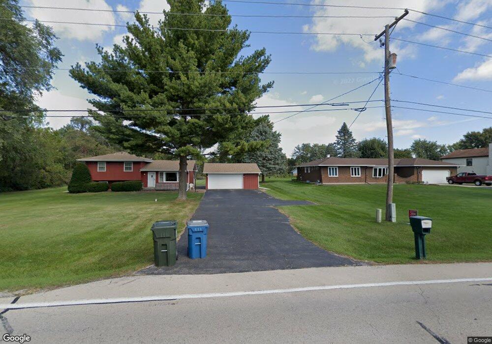
38W480 McDonald Rd Elgin, IL 60124
Cranston Meadows Park NeighborhoodEstimated Value: $359,251 - $476,000
3
Beds
1
Bath
1,580
Sq Ft
$265/Sq Ft
Est. Value
About This Home
This home is located at 38W480 McDonald Rd, Elgin, IL 60124 and is currently estimated at $418,563, approximately $264 per square foot. 38W480 McDonald Rd is a home located in Kane County with nearby schools including Ferson Creek Elementary School, Thompson Middle School, and St Charles North High School.
Ownership History
Date
Name
Owned For
Owner Type
Purchase Details
Closed on
Aug 30, 2002
Sold by
Nickel Roy W and Nickel Mary Ann
Bought by
Downey Franklin J and Downey Gwyn
Current Estimated Value
Home Financials for this Owner
Home Financials are based on the most recent Mortgage that was taken out on this home.
Original Mortgage
$190,000
Outstanding Balance
$79,948
Interest Rate
6.34%
Estimated Equity
$338,615
Create a Home Valuation Report for This Property
The Home Valuation Report is an in-depth analysis detailing your home's value as well as a comparison with similar homes in the area
Home Values in the Area
Average Home Value in this Area
Purchase History
| Date | Buyer | Sale Price | Title Company |
|---|---|---|---|
| Downey Franklin J | $343,000 | Chicago Title Insurance Co |
Source: Public Records
Mortgage History
| Date | Status | Borrower | Loan Amount |
|---|---|---|---|
| Open | Downey Franklin J | $190,000 |
Source: Public Records
Tax History Compared to Growth
Tax History
| Year | Tax Paid | Tax Assessment Tax Assessment Total Assessment is a certain percentage of the fair market value that is determined by local assessors to be the total taxable value of land and additions on the property. | Land | Improvement |
|---|---|---|---|---|
| 2024 | $5,645 | $96,069 | $29,548 | $66,521 |
| 2023 | $5,339 | $86,791 | $26,694 | $60,097 |
| 2022 | $5,204 | $79,138 | $24,340 | $54,798 |
| 2021 | $5,249 | $73,988 | $22,756 | $51,232 |
| 2020 | $5,077 | $70,633 | $21,724 | $48,909 |
| 2019 | $4,830 | $67,282 | $20,693 | $46,589 |
| 2018 | $4,551 | $63,384 | $19,494 | $43,890 |
| 2017 | $4,224 | $59,921 | $18,429 | $41,492 |
| 2016 | $4,245 | $55,590 | $17,097 | $38,493 |
| 2015 | -- | $50,953 | $15,671 | $35,282 |
| 2014 | -- | $50,324 | $15,478 | $34,846 |
| 2013 | -- | $51,651 | $15,886 | $35,765 |
Source: Public Records
Map
Nearby Homes
- 38W608 Sunvale Dr
- 7N919 Cloverfield Rd
- 7N949 Stevens Rd
- 8N530 Gingerwood Ln
- 2550 Stony Ln
- 1833 Coralito Ln
- 3547 Doral Dr
- 8N465 Shady Ln
- 1828 Coralito Ln
- 675 Oak Ln
- 3539 Crosswater Ct
- 552 Waters Edge Dr
- 38W530 Hopps Rd
- 1251 Lansbrook Dr
- 4 Persimmon Ln
- 3591 Sandstone Cir
- 3588 Sandstone Cir
- 3590 Sandstone Cir
- 1848 Chandolin Ln
- 1846 Chandolin Ln
- 38W466 McDonald Rd
- 38W446 McDonald Rd
- 38W441 Heatherfield Dr
- 38W426 McDonald Rd
- 8N135 Sunvale Dr
- 8N051 Big Axe Rd
- 8N171 Sunvale Dr
- 38W569 McDonald Rd
- 38W421 Heatherfield Dr
- 38W392 McDonald Rd
- 8N020 Columbine W
- 8N200 Heatherfield Dr
- 8N200 Heatherfield Dr
- 8N045 Columbine W
- 38W360 McDonald Rd Unit 1
- 8N197 Sunvale Dr
- 38W385 Heatherfield Dr
- 38W601 McDonald Rd
- 8N236 Heatherfield Dr
- 8N211 Heatherfield Dr