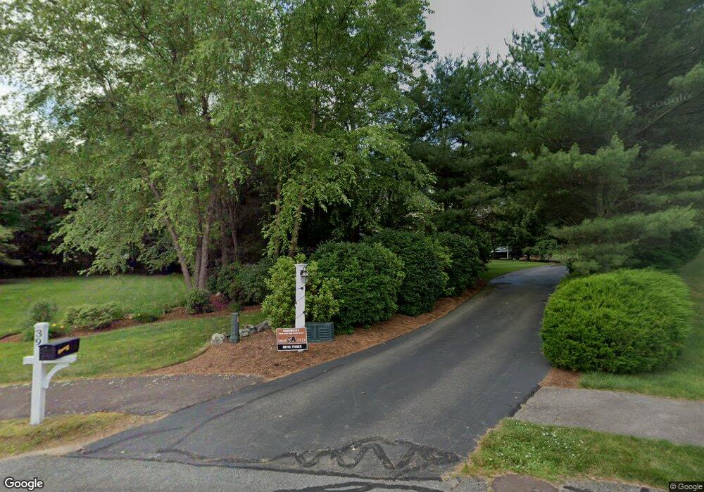
39 Acorn Rd North Easton, MA 02356
Estimated Value: $1,147,872 - $1,277,000
4
Beds
3
Baths
3,772
Sq Ft
$321/Sq Ft
Est. Value
About This Home
This home is located at 39 Acorn Rd, North Easton, MA 02356 and is currently estimated at $1,212,218, approximately $321 per square foot. 39 Acorn Rd is a home located in Bristol County with nearby schools including Easton Middle School, St Mary's Catholic School, and Al-Noor Academy.
Ownership History
Date
Name
Owned For
Owner Type
Purchase Details
Closed on
Sep 9, 2008
Sold by
Segura Boris and Vargas Eliseth
Bought by
Fisher Matthew A and Fisher Nisha
Current Estimated Value
Home Financials for this Owner
Home Financials are based on the most recent Mortgage that was taken out on this home.
Original Mortgage
$600,000
Interest Rate
6.69%
Mortgage Type
Purchase Money Mortgage
Purchase Details
Closed on
Nov 30, 2004
Sold by
Eramo Building Corp
Bought by
Segura Boris and Vargas Eliseth
Home Financials for this Owner
Home Financials are based on the most recent Mortgage that was taken out on this home.
Original Mortgage
$635,000
Interest Rate
5.75%
Mortgage Type
Purchase Money Mortgage
Create a Home Valuation Report for This Property
The Home Valuation Report is an in-depth analysis detailing your home's value as well as a comparison with similar homes in the area
Home Values in the Area
Average Home Value in this Area
Purchase History
| Date | Buyer | Sale Price | Title Company |
|---|---|---|---|
| Fisher Matthew A | $680,000 | -- | |
| Fisher Matthew A | $680,000 | -- | |
| Segura Boris | $795,000 | -- | |
| Segura Boris | $795,000 | -- |
Source: Public Records
Mortgage History
| Date | Status | Borrower | Loan Amount |
|---|---|---|---|
| Open | Segura Boris | $475,000 | |
| Closed | Segura Boris | $65,000 | |
| Closed | Fisher Matthew A | $600,000 | |
| Previous Owner | Segura Boris | $635,000 |
Source: Public Records
Tax History Compared to Growth
Tax History
| Year | Tax Paid | Tax Assessment Tax Assessment Total Assessment is a certain percentage of the fair market value that is determined by local assessors to be the total taxable value of land and additions on the property. | Land | Improvement |
|---|---|---|---|---|
| 2025 | $12,975 | $1,039,700 | $396,200 | $643,500 |
| 2024 | $12,597 | $943,600 | $300,900 | $642,700 |
| 2023 | $11,910 | $816,300 | $292,900 | $523,400 |
| 2022 | $11,818 | $767,900 | $263,900 | $504,000 |
| 2021 | $11,695 | $755,500 | $251,500 | $504,000 |
| 2020 | $11,323 | $736,200 | $246,800 | $489,400 |
| 2019 | $11,092 | $695,000 | $224,400 | $470,600 |
| 2018 | $10,783 | $665,200 | $224,400 | $440,800 |
| 2017 | $10,306 | $635,400 | $224,400 | $411,000 |
| 2016 | $9,965 | $615,500 | $224,400 | $391,100 |
| 2015 | $10,751 | $640,700 | $228,500 | $412,200 |
| 2014 | $9,985 | $599,700 | $192,700 | $407,000 |
Source: Public Records
Map
Nearby Homes
- 29 Owl Ridge Rd
- 34 Kevins Way
- 23 Estelle Marsan Dr
- 55 Eastman St
- 98 Massapoag Ave
- 28 Heidi Rd
- 157 Highland St
- 16 Erick Rd Unit 34
- 36 Sierra Dr
- 555 Foundry St Unit B
- Starling Plan at Sawmill Village
- Mallard Plan at Sawmill Village
- Goldfinch Plan at Sawmill Village
- Falcon Plan at Sawmill Village
- Cardinal Plan at Sawmill Village
- Sparrow Plan at Sawmill Village
- 23 Cutter Dr
- 3 Coach Rd
- 11 Hilltop Ln
- 151 Stearns Ave