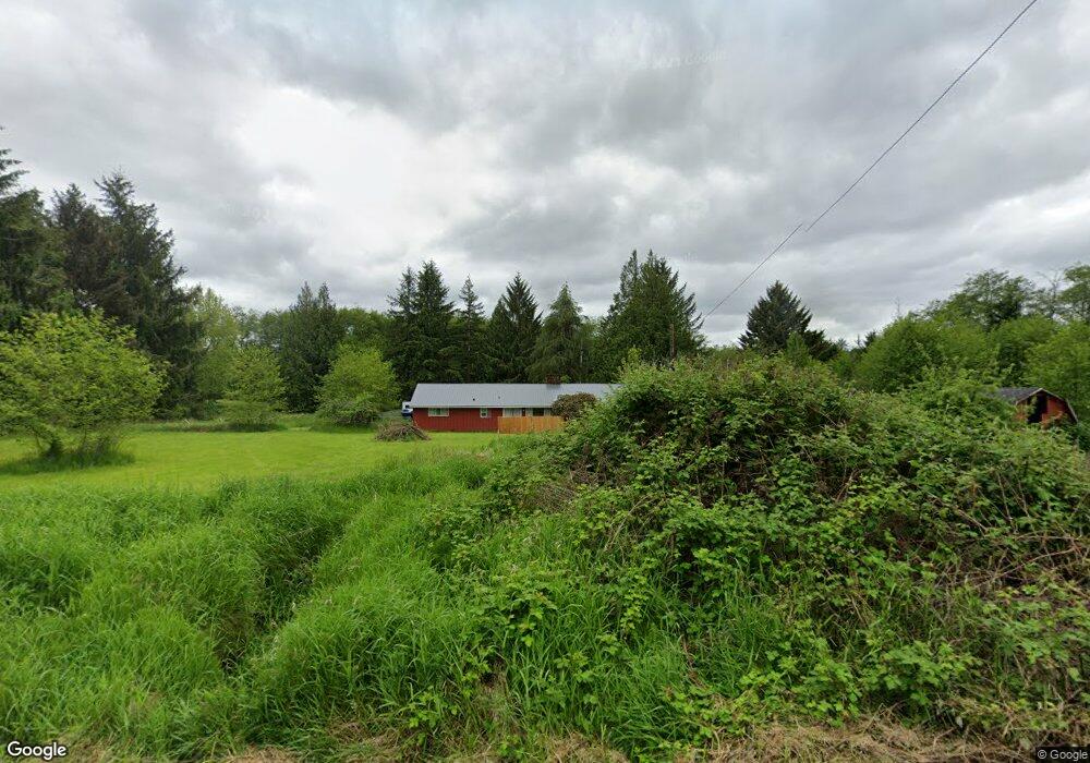
39 Airport Rd Raymond, WA 98577
Estimated Value: $181,000 - $339,399
3
Beds
2
Baths
1,999
Sq Ft
$127/Sq Ft
Est. Value
About This Home
This home is located at 39 Airport Rd, Raymond, WA 98577 and is currently estimated at $254,350, approximately $127 per square foot. 39 Airport Rd is a home located in Pacific County with nearby schools including Raymond Elementary School and Raymond Junior/Senior High School.
Ownership History
Date
Name
Owned For
Owner Type
Purchase Details
Closed on
May 21, 2021
Sold by
Federal Home Loan Mortgage Corporation
Bought by
Grew Steven and Grew Tonya
Current Estimated Value
Purchase Details
Closed on
Feb 23, 2021
Sold by
Selene Finance Lp
Bought by
Federal Home Loan Mortgage Corporation
Purchase Details
Closed on
Feb 10, 2021
Sold by
Earls Candace D and Huse Christopher G
Bought by
Selene Finance Lp
Create a Home Valuation Report for This Property
The Home Valuation Report is an in-depth analysis detailing your home's value as well as a comparison with similar homes in the area
Home Values in the Area
Average Home Value in this Area
Purchase History
| Date | Buyer | Sale Price | Title Company |
|---|---|---|---|
| Grew Steven | $180,000 | None Available | |
| Federal Home Loan Mortgage Corporation | -- | None Available | |
| Selene Finance Lp | $142,270 | None Available |
Source: Public Records
Tax History Compared to Growth
Tax History
| Year | Tax Paid | Tax Assessment Tax Assessment Total Assessment is a certain percentage of the fair market value that is determined by local assessors to be the total taxable value of land and additions on the property. | Land | Improvement |
|---|---|---|---|---|
| 2025 | $1,383 | $202,000 | $89,500 | $112,500 |
| 2024 | $1,383 | $202,000 | $89,500 | $112,500 |
| 2023 | $1,314 | $176,900 | $74,600 | $102,300 |
| 2022 | $2,139 | $224,100 | $86,600 | $137,500 |
| 2021 | $1,863 | $177,900 | $68,700 | $109,200 |
| 2020 | $1,816 | $164,800 | $63,700 | $101,100 |
| 2019 | $1,565 | $151,600 | $58,600 | $93,000 |
| 2018 | $2,230 | $131,800 | $50,900 | $80,900 |
| 2017 | $2,110 | $131,800 | $50,900 | $80,900 |
| 2015 | $2,664 | $154,400 | $43,700 | $110,700 |
| 2014 | -- | $154,400 | $43,700 | $110,700 |
| 2012 | -- | $166,700 | $43,700 | $123,000 |
Source: Public Records
Map
Nearby Homes
- 43 Hines Valley Rd
- 719 Main St
- 1008 Virginia St
- 818 Wyoming St
- 0 E Robert Bush Dr Unit NWM2276944
- 0 Tract 2 Highway 101
- 0 x Quincy St N
- 806 California St
- 932 Minnesota St
- 198 Raymond South Bend Rd
- 1420 Raymond South Bend Rd
- 1365 Wilson Ave
- 0 X Fir St
- 0 xx E Cowlitz St
- 304 Monroe St S
- 509 2nd St
- 755 Elm St
- 111 First St
- 106 First St E
- 850 Crescent St