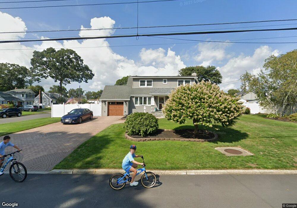
39 Alinda Ave Unit X West Islip, NY 11795
Estimated Value: $671,335 - $775,000
--
Bed
2
Baths
1,531
Sq Ft
$463/Sq Ft
Est. Value
About This Home
This home is located at 39 Alinda Ave Unit X, West Islip, NY 11795 and is currently estimated at $708,584, approximately $462 per square foot. 39 Alinda Ave Unit X is a home located in Suffolk County with nearby schools including Oquenock Elementary School, Udall Road Middle School, and West Islip Senior High School.
Ownership History
Date
Name
Owned For
Owner Type
Purchase Details
Closed on
Mar 11, 2021
Sold by
Saporito Paul and Saporito Christine
Bought by
Franco Joseph and Manfredi Jaqueline A
Current Estimated Value
Purchase Details
Closed on
Jun 22, 2016
Sold by
Samatali Maria T
Bought by
Murphy Christine and Saporito Paul
Home Financials for this Owner
Home Financials are based on the most recent Mortgage that was taken out on this home.
Original Mortgage
$310,000
Interest Rate
3.66%
Mortgage Type
New Conventional
Purchase Details
Closed on
Aug 1, 1995
Sold by
Grass Alice
Bought by
Samatali Mustapha S and Samatali Maria T
Create a Home Valuation Report for This Property
The Home Valuation Report is an in-depth analysis detailing your home's value as well as a comparison with similar homes in the area
Home Values in the Area
Average Home Value in this Area
Purchase History
| Date | Buyer | Sale Price | Title Company |
|---|---|---|---|
| Franco Joseph | $525,000 | None Available | |
| Murphy Christine | $370,000 | None Available | |
| Samatali Mustapha S | $151,000 | First American Title Ins Co |
Source: Public Records
Mortgage History
| Date | Status | Borrower | Loan Amount |
|---|---|---|---|
| Previous Owner | Murphy Christine | $310,000 |
Source: Public Records
Tax History Compared to Growth
Tax History
| Year | Tax Paid | Tax Assessment Tax Assessment Total Assessment is a certain percentage of the fair market value that is determined by local assessors to be the total taxable value of land and additions on the property. | Land | Improvement |
|---|---|---|---|---|
| 2024 | $11,025 | $37,100 | $9,400 | $27,700 |
| 2023 | $11,025 | $37,100 | $9,400 | $27,700 |
| 2022 | $8,662 | $37,100 | $9,400 | $27,700 |
| 2021 | $8,662 | $37,100 | $9,400 | $27,700 |
| 2020 | $9,250 | $37,100 | $9,400 | $27,700 |
| 2019 | $8,662 | $0 | $0 | $0 |
| 2018 | -- | $37,100 | $9,400 | $27,700 |
| 2017 | $10,140 | $37,100 | $9,400 | $27,700 |
| 2016 | $8,519 | $35,000 | $9,400 | $25,600 |
| 2015 | -- | $35,000 | $9,400 | $25,600 |
| 2014 | -- | $35,000 | $9,400 | $25,600 |
Source: Public Records
Map
Nearby Homes
- 8 Gerek Ave
- 14 Gerek Ave
- 15 Anthony Dr
- 409 Capri Rd
- 1280 Sunrise Hwy
- 47 Myson St
- 372 Hamilton Place
- 170 Wickfield Ln
- 134 Veronica Ln
- 1345 Madison Ave
- 166 W 2nd St
- 43 Hitherdell Ln
- 274 Edmunton Dr Unit K8
- 2011 Orinoco Dr
- 265 Edmunton Dr Unit I-12
- 205 Edmunton Dr Unit H17
- 214 Edmunton Dr Unit J3
- 144 Scott Ave
- 192 Edmunton Dr Unit D1
- 182 Edmunton Dr Unit D3