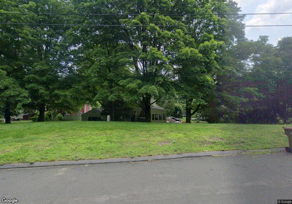
39 Armstrong Rd Shelton, CT 06484
Estimated Value: $568,000 - $710,000
4
Beds
3
Baths
2,765
Sq Ft
$235/Sq Ft
Est. Value
About This Home
This home is located at 39 Armstrong Rd, Shelton, CT 06484 and is currently estimated at $650,964, approximately $235 per square foot. 39 Armstrong Rd is a home located in Fairfield County with nearby schools including Perry Hill School, Shelton Intermediate School, and Shelton High School.
Ownership History
Date
Name
Owned For
Owner Type
Purchase Details
Closed on
Dec 1, 2009
Sold by
Jager Richard and Jager Mary
Bought by
Guard Christin
Current Estimated Value
Home Financials for this Owner
Home Financials are based on the most recent Mortgage that was taken out on this home.
Original Mortgage
$202,500
Outstanding Balance
$136,179
Interest Rate
4.92%
Estimated Equity
$514,785
Purchase Details
Closed on
Jun 29, 1988
Sold by
Peck Howard
Bought by
Jager Richard
Home Financials for this Owner
Home Financials are based on the most recent Mortgage that was taken out on this home.
Original Mortgage
$150,000
Interest Rate
10.47%
Mortgage Type
Purchase Money Mortgage
Create a Home Valuation Report for This Property
The Home Valuation Report is an in-depth analysis detailing your home's value as well as a comparison with similar homes in the area
Home Values in the Area
Average Home Value in this Area
Purchase History
| Date | Buyer | Sale Price | Title Company |
|---|---|---|---|
| Guard Christin | $253,457 | -- | |
| Guard Christin | $253,457 | -- | |
| Jager Richard | $274,900 | -- |
Source: Public Records
Mortgage History
| Date | Status | Borrower | Loan Amount |
|---|---|---|---|
| Open | Jager Richard | $202,500 | |
| Closed | Jager Richard | $202,500 | |
| Previous Owner | Jager Richard | $150,000 |
Source: Public Records
Tax History Compared to Growth
Tax History
| Year | Tax Paid | Tax Assessment Tax Assessment Total Assessment is a certain percentage of the fair market value that is determined by local assessors to be the total taxable value of land and additions on the property. | Land | Improvement |
|---|---|---|---|---|
| 2025 | $6,310 | $335,300 | $105,000 | $230,300 |
| 2024 | $6,431 | $335,300 | $105,000 | $230,300 |
| 2023 | $5,858 | $335,300 | $105,000 | $230,300 |
| 2022 | $5,858 | $335,300 | $105,000 | $230,300 |
| 2021 | $12,467 | $259,630 | $70,000 | $189,630 |
| 2020 | $5,821 | $259,630 | $70,000 | $189,630 |
| 2019 | $12,309 | $259,630 | $70,000 | $189,630 |
| 2017 | $5,766 | $259,630 | $70,000 | $189,630 |
| 2015 | $5,781 | $259,140 | $75,600 | $183,540 |
| 2014 | $5,781 | $259,140 | $75,600 | $183,540 |
Source: Public Records
Map
Nearby Homes
- 44 Hemlock Dr
- 14 Horseshoe Dr
- 12 Horseshoe Dr
- 37 Heather Ridge
- 6 Daybreak Ln
- 79 River Bend Rd Unit B
- 44 Powder Mill Rd Unit C
- 33 Happy Hollow Cir Unit C
- 815 James Farm Rd
- 664 Osage Ln Unit A
- 350 Maple Oak Dr
- 543 North Trail Unit B
- 736 Quinnipiac Ln Unit B
- 522 Iroquois Ln Unit B
- 766 Nyack Ln Unit B
- 170 Oronoque Ln Unit 85
- 170 Oronoque Ln Unit 95
- 516 Opa Ln Unit A
- 617 Cherokee Ln Unit B
- 82 Kanungum Trail