39 Atkins St Glouster, OH 45732
Estimated Value: $46,000 - $83,000
3
Beds
1
Bath
1,086
Sq Ft
$59/Sq Ft
Est. Value
About This Home
This home is located at 39 Atkins St, Glouster, OH 45732 and is currently estimated at $63,655, approximately $58 per square foot. 39 Atkins St is a home located in Athens County with nearby schools including Trimble Elementary School, Trimble Middle School, and Trimble High School.
Ownership History
Date
Name
Owned For
Owner Type
Purchase Details
Closed on
May 16, 2019
Sold by
Cunningham Charles H and Cunningham Joyce L
Bought by
Roell Bernie C and Roell Hannah Joyce
Current Estimated Value
Purchase Details
Closed on
Jul 2, 2008
Sold by
The Community Bank
Bought by
Cunningham Charles H
Purchase Details
Closed on
Jul 8, 2005
Sold by
Dexter Michael E
Bought by
The Community Bank and The Glouster Community Bank
Purchase Details
Closed on
Jul 16, 2001
Sold by
Mccombs Steven R and Mccombs Tiffany
Bought by
Dexter Michael E
Purchase Details
Closed on
Nov 17, 1999
Sold by
Hook Thomas E
Bought by
Mccombs Steven R and Mccombs Tiffany
Create a Home Valuation Report for This Property
The Home Valuation Report is an in-depth analysis detailing your home's value as well as a comparison with similar homes in the area
Home Values in the Area
Average Home Value in this Area
Purchase History
| Date | Buyer | Sale Price | Title Company |
|---|---|---|---|
| Roell Bernie C | $9,000 | None Available | |
| Cunningham Charles H | $7,000 | Attorney | |
| The Community Bank | -- | None Available | |
| Dexter Michael E | $22,000 | -- | |
| Mccombs Steven R | $14,000 | -- |
Source: Public Records
Tax History Compared to Growth
Tax History
| Year | Tax Paid | Tax Assessment Tax Assessment Total Assessment is a certain percentage of the fair market value that is determined by local assessors to be the total taxable value of land and additions on the property. | Land | Improvement |
|---|---|---|---|---|
| 2024 | $1,047 | $11,170 | $1,670 | $9,500 |
| 2023 | $1,115 | $11,170 | $1,670 | $9,500 |
| 2022 | $764 | $9,610 | $1,670 | $7,940 |
| 2021 | $777 | $9,610 | $1,670 | $7,940 |
| 2020 | $971 | $9,610 | $1,670 | $7,940 |
| 2019 | $764 | $8,770 | $1,430 | $7,340 |
| 2018 | $512 | $8,770 | $1,430 | $7,340 |
| 2017 | $690 | $8,770 | $1,430 | $7,340 |
| 2016 | $495 | $8,240 | $1,430 | $6,810 |
| 2015 | $644 | $8,240 | $1,430 | $6,810 |
| 2014 | $644 | $8,240 | $1,430 | $6,810 |
| 2013 | $572 | $8,190 | $1,360 | $6,830 |
Source: Public Records
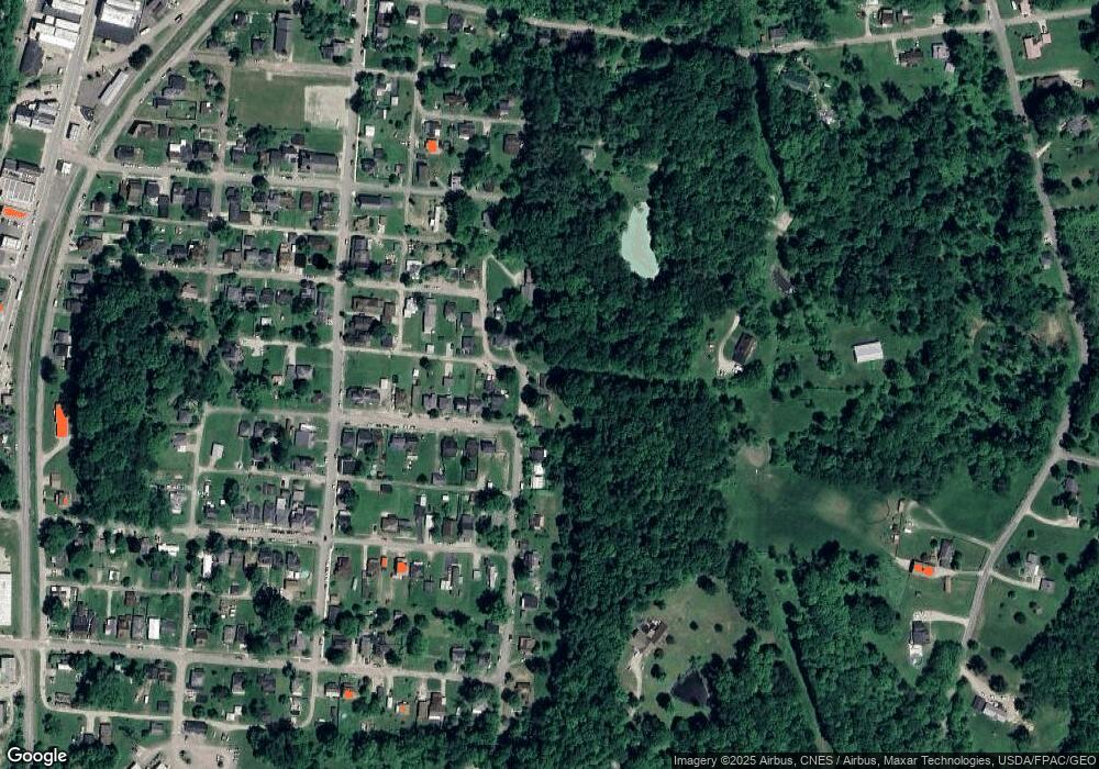
Map
Nearby Homes
- 23 Madison St
- 29 Barbour St
- 88 Front St
- 93 Main St
- 22 Fairlawn Ave
- 18 North St
- 31 Locust St
- 0 Loudermilk Rd
- 140 Sycamore St
- 145 Sycamore St
- 11789 Congress Run Rd
- 0 Red Rock Rd
- 11829 Red Rock Rd
- 10271 Antle Orchard Rd
- 0 Greens Run Rd
- 18242 Ohio 13
- Lambert Rd
- 18261 Jacksonville Rd
- 10219 Paulette Dr
- 17080 Bell