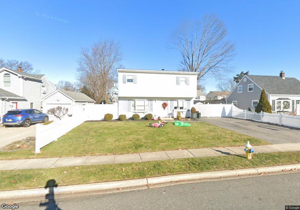
39 Azalea Rd Levittown, NY 11756
Estimated Value: $721,313 - $768,000
Studio
2
Baths
1,650
Sq Ft
$451/Sq Ft
Est. Value
About This Home
This home is located at 39 Azalea Rd, Levittown, NY 11756 and is currently estimated at $744,657, approximately $451 per square foot. 39 Azalea Rd is a home located in Nassau County with nearby schools including Northside School, Wisdom Lane Middle School, and Division Avenue Senior High School.
Ownership History
Date
Name
Owned For
Owner Type
Purchase Details
Closed on
Aug 9, 2010
Sold by
Lambardi John
Bought by
Macias Jorge
Current Estimated Value
Home Financials for this Owner
Home Financials are based on the most recent Mortgage that was taken out on this home.
Original Mortgage
$365,083
Outstanding Balance
$242,451
Interest Rate
4.63%
Mortgage Type
Purchase Money Mortgage
Estimated Equity
$502,206
Purchase Details
Closed on
Jan 30, 2010
Sold by
Piedrahita Sandra and Arango Carlos
Bought by
Lombardi John and Lombardi Anthony
Purchase Details
Closed on
Aug 15, 2005
Sold by
Piedrahita Sandra
Create a Home Valuation Report for This Property
The Home Valuation Report is an in-depth analysis detailing your home's value as well as a comparison with similar homes in the area
Home Values in the Area
Average Home Value in this Area
Purchase History
| Date | Buyer | Sale Price | Title Company |
|---|---|---|---|
| Macias Jorge | $370,000 | -- | |
| Lombardi John | $215,000 | -- | |
| -- | -- | -- | |
| Piedrahita Sandra | $410,000 | -- |
Source: Public Records
Mortgage History
| Date | Status | Borrower | Loan Amount |
|---|---|---|---|
| Open | Macias Jorge | $365,083 |
Source: Public Records
Tax History
| Year | Tax Paid | Tax Assessment Tax Assessment Total Assessment is a certain percentage of the fair market value that is determined by local assessors to be the total taxable value of land and additions on the property. | Land | Improvement |
|---|---|---|---|---|
| 2025 | $12,714 | $450 | $211 | $239 |
| 2024 | $3,465 | $450 | $211 | $239 |
Source: Public Records
Map
Nearby Homes
- 29 Hyacinth Rd
- 15 Primrose Ln
- 27 Poppy Ln
- 102 Old Farm Rd
- 37 Old Farm Rd
- 60 Periwinkle Rd
- 87 Parkside Dr N
- 13 Peachtree Ln
- 54 Morning Glory Rd
- 31 Bluespruce Rd
- 2 Orchid Rd
- 2 Violet Ln
- 63 Morning Glory Rd
- 461 N Newbridge Rd
- 19 Crabtree Ln
- 614 N Newbridge Rd
- 38 Birch Ln
- 158 Periwinkle Rd
- 18 Loring Rd
- 70 Norman Ln
Your Personal Tour Guide
Ask me questions while you tour the home.