39 B Adams Rd Boxford, MA 01921
Estimated Value: $2,301,000 - $2,974,000
5
Beds
4
Baths
4,905
Sq Ft
$530/Sq Ft
Est. Value
About This Home
This home is located at 39 B Adams Rd, Boxford, MA 01921 and is currently estimated at $2,601,411, approximately $530 per square foot. 39 B Adams Rd is a home located in Essex County with nearby schools including Harry Lee Cole and Spofford Pond School.
Ownership History
Date
Name
Owned For
Owner Type
Purchase Details
Closed on
Oct 26, 2007
Sold by
Maher David L and Maher Lara E
Bought by
Bargman Todd M and Bargman Deborah M
Current Estimated Value
Home Financials for this Owner
Home Financials are based on the most recent Mortgage that was taken out on this home.
Original Mortgage
$1,448,640
Interest Rate
6.39%
Mortgage Type
Purchase Money Mortgage
Purchase Details
Closed on
Feb 26, 2004
Sold by
Dorothy L Woodbury T and Woodbury Arthur
Bought by
Maher David L
Create a Home Valuation Report for This Property
The Home Valuation Report is an in-depth analysis detailing your home's value as well as a comparison with similar homes in the area
Home Values in the Area
Average Home Value in this Area
Purchase History
| Date | Buyer | Sale Price | Title Company |
|---|---|---|---|
| Bargman Todd M | $1,810,800 | -- | |
| Maher David L | $375,000 | -- |
Source: Public Records
Mortgage History
| Date | Status | Borrower | Loan Amount |
|---|---|---|---|
| Open | Maher David L | $988,000 | |
| Closed | Maher David L | $1,000,000 | |
| Closed | Maher David L | $1,448,640 | |
| Previous Owner | Maher David L | $450,000 |
Source: Public Records
Tax History Compared to Growth
Tax History
| Year | Tax Paid | Tax Assessment Tax Assessment Total Assessment is a certain percentage of the fair market value that is determined by local assessors to be the total taxable value of land and additions on the property. | Land | Improvement |
|---|---|---|---|---|
| 2025 | $33,817 | $2,514,300 | $468,500 | $2,045,800 |
| 2024 | $32,896 | $2,520,800 | $468,500 | $2,052,300 |
| 2023 | $28,660 | $2,070,800 | $419,000 | $1,651,800 |
| 2022 | $28,422 | $1,867,400 | $353,100 | $1,514,300 |
| 2021 | $27,201 | $1,699,000 | $322,900 | $1,376,100 |
| 2020 | $28,084 | $1,736,800 | $322,900 | $1,413,900 |
| 2019 | $29,153 | $1,790,700 | $309,200 | $1,481,500 |
| 2018 | $29,217 | $1,803,500 | $309,200 | $1,494,300 |
| 2017 | $29,588 | $1,814,100 | $294,400 | $1,519,700 |
| 2016 | $29,139 | $1,770,300 | $294,400 | $1,475,900 |
| 2015 | $27,482 | $1,718,700 | $294,400 | $1,424,300 |
Source: Public Records
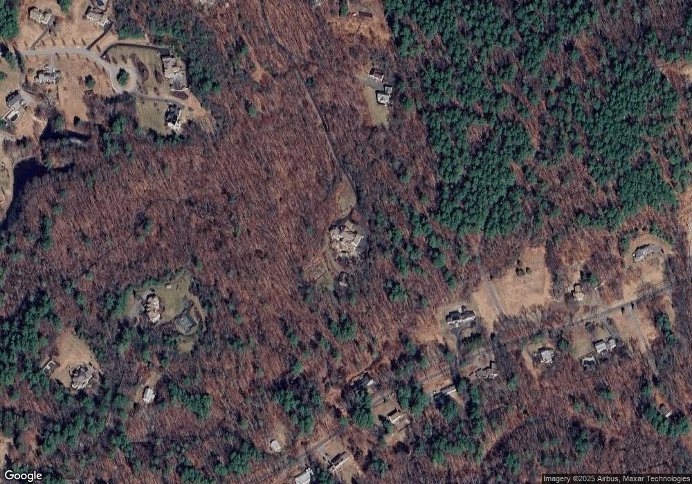
Map
Nearby Homes
- 146 Spofford Rd
- 26 Bayns Hill Rd
- 35 Spofford St
- 12 Hope Ln Unit 14
- 36 Ingalls Village Way
- 36 Ingalls Village Way Unit 15
- 499 Main St
- 4 Crescent Meadow Ln
- 10 Pine Plain Rd
- 534 Ipswich Rd
- 24 Appleton Ln
- 252 Ipswich Rd
- 10 High Ridge Rd
- 70 Uptack Rd
- 179 Washington St
- 590 Foster St
- 41B Washington St
- 50 Rocky Brook Rd
- 43 Belvedere Rd
- 39 Sheffield Rd