39 Babson Ridge Ln Brooklin, ME 04616
Estimated Value: $602,000 - $1,793,778
--
Bed
--
Bath
1,084
Sq Ft
$1,195/Sq Ft
Est. Value
About This Home
This home is located at 39 Babson Ridge Ln, Brooklin, ME 04616 and is currently estimated at $1,295,259, approximately $1,194 per square foot. 39 Babson Ridge Ln is a home with nearby schools including Brooklin School.
Create a Home Valuation Report for This Property
The Home Valuation Report is an in-depth analysis detailing your home's value as well as a comparison with similar homes in the area
Home Values in the Area
Average Home Value in this Area
Tax History Compared to Growth
Tax History
| Year | Tax Paid | Tax Assessment Tax Assessment Total Assessment is a certain percentage of the fair market value that is determined by local assessors to be the total taxable value of land and additions on the property. | Land | Improvement |
|---|---|---|---|---|
| 2024 | $12,771 | $1,749,500 | $1,178,600 | $570,900 |
| 2023 | $11,549 | $1,582,000 | $1,178,600 | $403,400 |
| 2022 | $11,067 | $1,495,600 | $1,153,600 | $342,000 |
| 2021 | $11,322 | $1,495,600 | $1,153,600 | $342,000 |
| 2020 | $10,918 | $1,495,600 | $1,153,600 | $342,000 |
| 2019 | $11,065 | $1,485,300 | $1,153,600 | $331,700 |
| 2018 | $10,991 | $1,485,300 | $1,153,600 | $331,700 |
| 2017 | $2,950 | $1,485,300 | $1,153,600 | $331,700 |
| 2016 | $9,587 | $1,485,300 | $1,153,600 | $331,700 |
| 2015 | $10,694 | $1,485,300 | $1,153,600 | $331,700 |
| 2014 | $10,694 | $1,485,300 | $1,153,600 | $331,700 |
| 2013 | $9,803 | $1,485,300 | $1,153,600 | $331,700 |
Source: Public Records
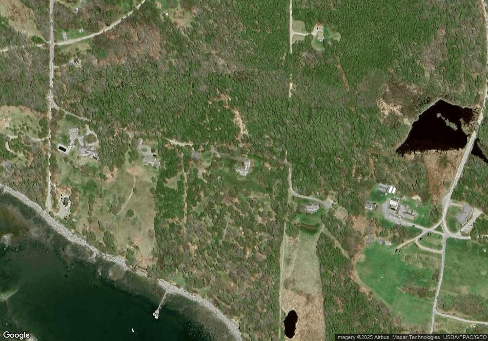
Map
Nearby Homes
- 22 Hope Ln
- 00 Periwinkle Ln
- 106 Naskeag Rd
- 17 Duck Cove Rd
- 40 Reach Rd
- 111 Old Place Rd
- 9 River Rd Unit Lot 3
- 9 River Rd Unit Lot 6
- 5 River Rd
- 121 Greenlaw District Rd
- 87 Carter Point Rd
- 36 Greenlaw District Rd
- 2 Bar Island
- 183 Davis Farm Rd
- 2 Twin Oaks Ln
- 70 Owens Way
- 90 Quaco Rd
- 36 Treasure Ln
- 633 N Deer Isle Rd
- 30 Hardys Hill Rd