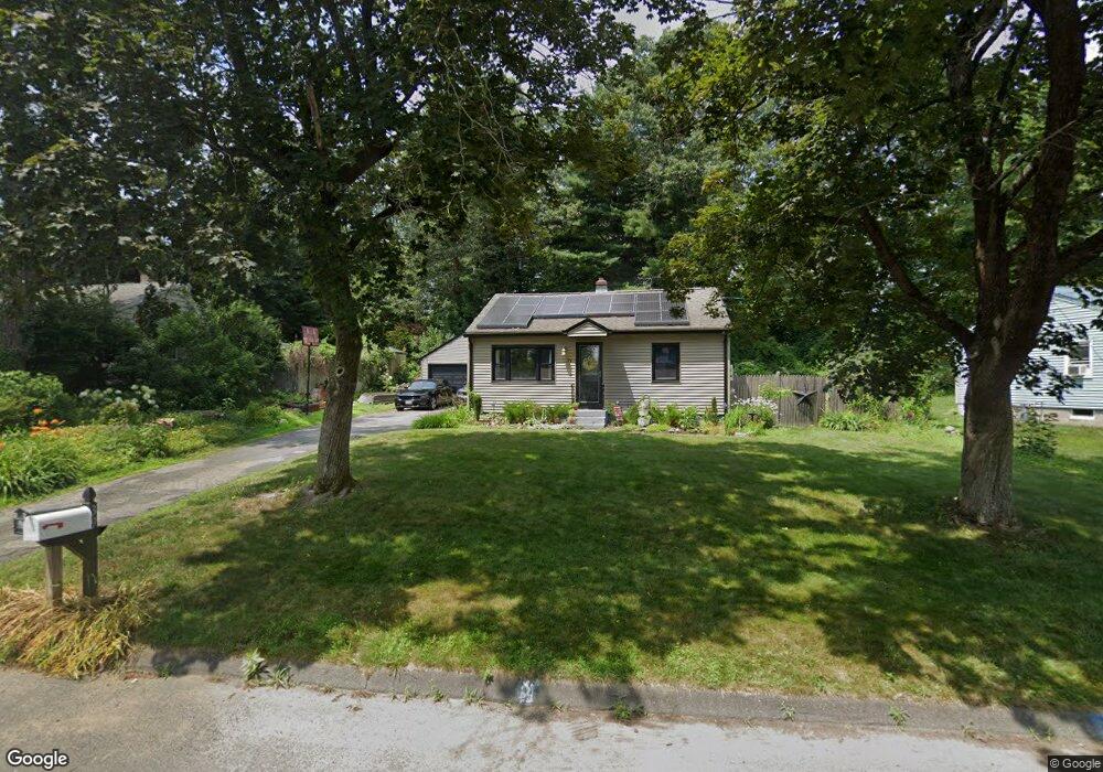
39 Birchwood Rd Southwick, MA 01077
Estimated Value: $274,000 - $334,695
2
Beds
1
Bath
1,150
Sq Ft
$271/Sq Ft
Est. Value
About This Home
This home is located at 39 Birchwood Rd, Southwick, MA 01077 and is currently estimated at $311,924, approximately $271 per square foot. 39 Birchwood Rd is a home located in Hampden County with nearby schools including Woodland School, Powder Mill Middle School, and Southwick Regional School.
Ownership History
Date
Name
Owned For
Owner Type
Purchase Details
Closed on
Apr 20, 2005
Sold by
Stjohn George A
Bought by
Lawrenchik Mary S and Lawrenchik Timothy J
Current Estimated Value
Home Financials for this Owner
Home Financials are based on the most recent Mortgage that was taken out on this home.
Original Mortgage
$162,615
Outstanding Balance
$84,406
Interest Rate
5.87%
Mortgage Type
Purchase Money Mortgage
Estimated Equity
$227,518
Purchase Details
Closed on
Jul 2, 2002
Sold by
Joan Rubin Ret and Rubin Joan
Bought by
St John George A
Create a Home Valuation Report for This Property
The Home Valuation Report is an in-depth analysis detailing your home's value as well as a comparison with similar homes in the area
Home Values in the Area
Average Home Value in this Area
Purchase History
| Date | Buyer | Sale Price | Title Company |
|---|---|---|---|
| Lawrenchik Mary S | $163,900 | -- | |
| St John George A | $123,900 | -- |
Source: Public Records
Mortgage History
| Date | Status | Borrower | Loan Amount |
|---|---|---|---|
| Open | Lawrenchik Mary S | $162,615 |
Source: Public Records
Tax History Compared to Growth
Tax History
| Year | Tax Paid | Tax Assessment Tax Assessment Total Assessment is a certain percentage of the fair market value that is determined by local assessors to be the total taxable value of land and additions on the property. | Land | Improvement |
|---|---|---|---|---|
| 2025 | $4,515 | $290,000 | $109,300 | $180,700 |
| 2024 | $4,274 | $276,300 | $102,400 | $173,900 |
| 2023 | $4,089 | $253,800 | $102,400 | $151,400 |
| 2022 | $3,922 | $231,000 | $93,200 | $137,800 |
| 2021 | $89 | $215,000 | $93,200 | $121,800 |
| 2020 | $90 | $213,900 | $93,200 | $120,700 |
| 2019 | $3,627 | $207,600 | $91,300 | $116,300 |
| 2018 | $3,633 | $207,600 | $91,300 | $116,300 |
| 2017 | $91 | $191,200 | $87,000 | $104,200 |
| 2016 | $3,270 | $191,200 | $87,000 | $104,200 |
| 2015 | $3,066 | $181,000 | $76,800 | $104,200 |
Source: Public Records
Map
Nearby Homes
- 61 S View Dr
- 31 Woodland Ridge
- 8 Woodland Ridge
- 12 Granaudo Cir
- 28 Gargon Terrace
- 33 S Longyard Rd
- 20 Great Brook Dr
- 14 Lexington Cir
- 44 N Lake Ave
- 80 Bungalow St
- 4 Lauren Ln
- 105 Lakeview St
- 74 Point Grove Rd
- 23 Pine Knoll
- 116 Granville Rd
- 139 Point Grove Rd
- 7 Sawgrass Ln
- 212 Feeding Hills Rd
- 21 Grove St
- 175 Berkshire Ave
- 41 Birchwood Rd
- 37 Birchwood Rd
- 35 Birchwood Rd
- 52 Pineywood Rd
- 50 Pineywood Rd
- 54 Pineywood Rd
- 38 Birchwood Rd
- 48 Fernwood Rd
- 36 Birchwood Rd
- 46 Fernwood Rd
- 40 Birchwood Rd
- 34 Birchwood Rd
- 44 Fernwood Rd
- 46 Pineywood Rd
- 42 Birchwood Rd
- 32 Birchwood Rd
- 87 Powder Mill Rd
- 53 Pineywood Rd
- 85 Powder Mill Rd
- 55 Pineywood Rd