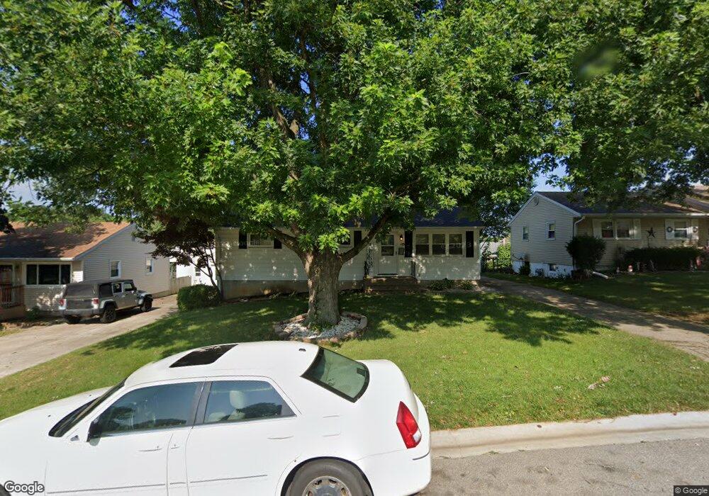
39 Bob-O-link Dr Springfield, IL 62702
Estimated Value: $154,794
3
Beds
1
Bath
1,041
Sq Ft
$149/Sq Ft
Est. Value
About This Home
This home is located at 39 Bob-O-link Dr, Springfield, IL 62702 and is currently priced at $154,794, approximately $148 per square foot. 39 Bob-O-link Dr is a home located in Sangamon County with nearby schools including Jane Addams Elementary School, U.S. Grant Middle School, and Springfield High School.
Ownership History
Date
Name
Owned For
Owner Type
Purchase Details
Closed on
Oct 21, 2022
Sold by
Massey Maggie E
Bought by
Helton Elizabeth and Kidd Joshua
Current Estimated Value
Home Financials for this Owner
Home Financials are based on the most recent Mortgage that was taken out on this home.
Original Mortgage
$105,773
Outstanding Balance
$46,139
Interest Rate
6%
Mortgage Type
New Conventional
Purchase Details
Closed on
Aug 2, 2004
Purchase Details
Closed on
Mar 25, 1997
Create a Home Valuation Report for This Property
The Home Valuation Report is an in-depth analysis detailing your home's value as well as a comparison with similar homes in the area
Purchase History
| Date | Buyer | Sale Price | Title Company |
|---|---|---|---|
| Helton Elizabeth | $125,000 | -- | |
| -- | $86,500 | -- | |
| -- | $79,900 | -- |
Source: Public Records
Mortgage History
| Date | Status | Borrower | Loan Amount |
|---|---|---|---|
| Open | Helton Elizabeth | $105,773 |
Source: Public Records
Map
Nearby Homes
- 2011 W Jefferson St
- 2102 W Jefferson St
- 66 Dawn Dr
- 1921 Jeanette Ln Unit 2
- 1913 Jeanette Ln Unit 8
- 2001 W Calhoun Ave
- 1914 Jeanette Ln Unit 6
- 24 Wenzel Ln
- 2510 & 2518 W Jefferson St
- 107 Collier Dr
- 904 Diane Ct
- 160 S Durkin Dr Unit 4
- 243 S Durkin Dr Unit 24
- 1531 W Monroe St
- 2309 W Lawrence Ave
- 6 Redwood Ln
- 2134 W Lawrence Ave
- 2138 W Lawrence Ave
- 804 Fairfax Ct
- 17 Hollybrook Dr
- 43 Bob o Link Dr
- 35 Bob o Link Dr
- 31 Bob o Link Dr
- 47 Bob o Link Dr
- 48 Bob o Link Dr
- 44 Bob o Link Dr
- 54 Meadowlark Ln
- 52 Bob o Link Dr
- 50 Meadowlark Ln
- 58 Meadowlark Ln
- 27 Bob o Link Dr
- 27 Bob-O-link Dr
- 40 Bob o Link Dr
- 40 Bob-O-link Dr
- 51 Bob o Link Dr Unit 1
- 56 Bob o Link Dr Unit 1
- 62 Meadowlark Ln
- 46 Meadowlark Ln
- 23 Bob o Link Dr
Your Personal Tour Guide
Ask me questions while you tour the home.