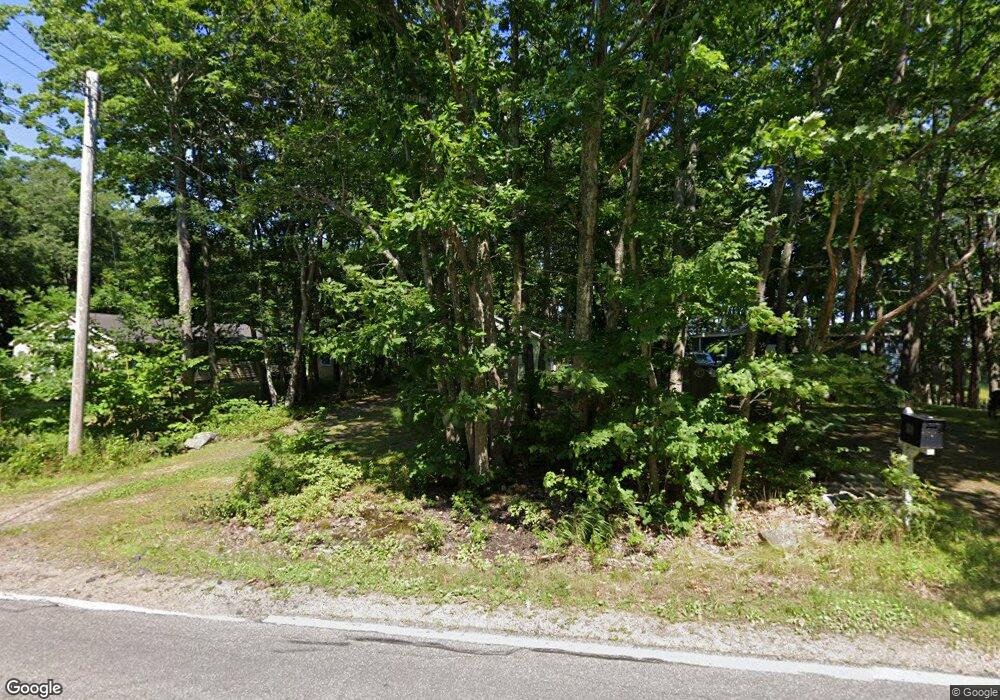
39 Bridge Rd Biddeford, ME 04005
Fortunes Rocks NeighborhoodEstimated Value: $329,846 - $656,000
2
Beds
1
Bath
460
Sq Ft
$1,166/Sq Ft
Est. Value
About This Home
This home is located at 39 Bridge Rd, Biddeford, ME 04005 and is currently estimated at $536,462, approximately $1,166 per square foot. 39 Bridge Rd is a home located in York County with nearby schools including John F Kennedy Memorial School, Biddeford Primary School, and Biddeford Intermediate School.
Ownership History
Date
Name
Owned For
Owner Type
Purchase Details
Closed on
Apr 25, 2025
Sold by
Laughridge Eileen and Ohare Jean M
Bought by
Ferreira Kathleen R
Current Estimated Value
Purchase Details
Closed on
Apr 16, 2025
Sold by
Ohare Jean M
Bought by
Gibson Katherine O and Ohare Kevin T
Create a Home Valuation Report for This Property
The Home Valuation Report is an in-depth analysis detailing your home's value as well as a comparison with similar homes in the area
Home Values in the Area
Average Home Value in this Area
Purchase History
| Date | Buyer | Sale Price | Title Company |
|---|---|---|---|
| Ferreira Kathleen R | -- | None Available | |
| Ferreira Kathleen R | -- | None Available | |
| Gibson Katherine O | -- | None Available | |
| Gibson Katherine O | -- | None Available |
Source: Public Records
Tax History Compared to Growth
Tax History
| Year | Tax Paid | Tax Assessment Tax Assessment Total Assessment is a certain percentage of the fair market value that is determined by local assessors to be the total taxable value of land and additions on the property. | Land | Improvement |
|---|---|---|---|---|
| 2024 | $3,352 | $235,700 | $221,700 | $14,000 |
| 2023 | $3,044 | $232,000 | $218,000 | $14,000 |
| 2022 | $3,361 | $204,800 | $164,900 | $39,900 |
| 2021 | $3,190 | $175,000 | $142,100 | $32,900 |
| 2020 | $3,140 | $156,600 | $125,100 | $31,500 |
| 2019 | $3,510 | $156,600 | $125,100 | $31,500 |
| 2018 | $2,528 | $156,600 | $125,100 | $31,500 |
| 2017 | $2,496 | $150,900 | $125,100 | $25,800 |
| 2016 | $2,997 | $150,900 | $125,100 | $25,800 |
| 2015 | $2,938 | $150,900 | $125,100 | $25,800 |
| 2014 | $2,866 | $150,900 | $125,100 | $25,800 |
| 2013 | -- | $207,900 | $183,300 | $24,600 |
Source: Public Records
Map
Nearby Homes
- 3 Fortunes Rocks Rd
- Lot 1 Longboard Ln
- Lot 2 Longboard Ln
- 665 Pool St
- Lot 3 Longboard Ln
- 2 Maddox Pond Rd
- Lot 4 Longboard Ln
- Lot 7 Longboard Ln
- Lot 6 Longboard Ln
- 700 Pool St
- 8 Days Landing
- 6 Days Landing
- 66 Old Pool Rd
- 96 Fortunes Rocks Rd
- 111 Mile Stretch Rd
- 1 Moore Ln
- 129 Fortunes Rocks Rd
- 2 Seal Ln
- 52 Lester B Orcutt Blvd
- 7 4th St
- 37 Bridge Rd
- 45 Bridge
- 4 Leighton Point Ln
- 51 Bridge Rd
- 7 Leighton Point Ln
- 5 Leighton Point Ln
- 1 Leighton Point Ln
- 35 Bridge Rd
- 31 Bridge Rd
- 58 Bridge Rd
- 69 Bridge Rd
- 67 Bridge Rd
- 6 Winter Harbor Ln
- 6 Winter Garden
- 5 Winter Harbor Ln
- 4 Winter Harbor Ln
- 4 Winter Garden
- 73 Bridge Rd
- 3 Winter Harbor Ln
- 2 Winter Harbor Ln
