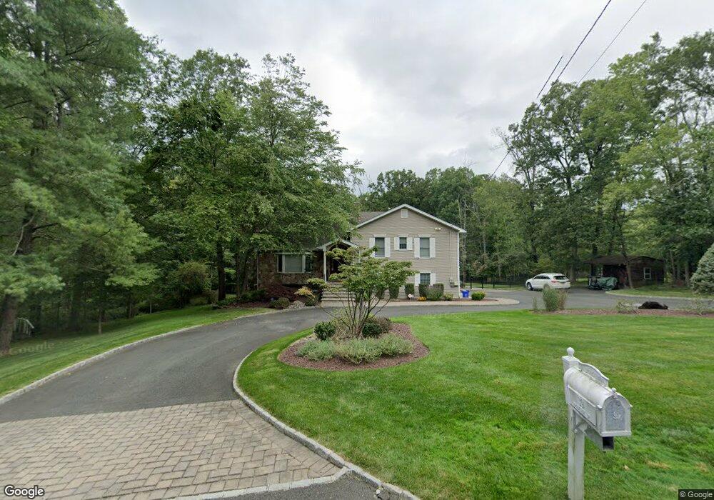
39 Brookside Dr Warren, NJ 07059
Estimated Value: $850,736 - $1,253,000
Studio
--
Bath
2,040
Sq Ft
$487/Sq Ft
Est. Value
About This Home
This home is located at 39 Brookside Dr, Warren, NJ 07059 and is currently estimated at $992,684, approximately $486 per square foot. 39 Brookside Dr is a home located in Somerset County with nearby schools including Angelo L. Tomaso School, Warren Middle School, and Watchung Hills Regional High School.
Ownership History
Date
Name
Owned For
Owner Type
Purchase Details
Closed on
Dec 22, 2020
Sold by
Giordano Patsy M and Giordano Deborah J
Bought by
Giordano Deborah Jane and Giordano Deborah Jane
Current Estimated Value
Purchase Details
Closed on
Jun 6, 2005
Sold by
Gregory Joseph
Bought by
Giordano Patsy M and Giordano Deborah J
Create a Home Valuation Report for This Property
The Home Valuation Report is an in-depth analysis detailing your home's value as well as a comparison with similar homes in the area
Home Values in the Area
Average Home Value in this Area
Purchase History
| Date | Buyer | Sale Price | Title Company |
|---|---|---|---|
| Giordano Deborah Jane | -- | None Available | |
| Giordano Patsy M | $750,000 | -- | |
| Arber Paul | $1,480,000 | -- |
Source: Public Records
Tax History
| Year | Tax Paid | Tax Assessment Tax Assessment Total Assessment is a certain percentage of the fair market value that is determined by local assessors to be the total taxable value of land and additions on the property. | Land | Improvement |
|---|---|---|---|---|
| 2025 | $12,631 | $750,300 | $404,400 | $345,900 |
| 2024 | $12,631 | $687,200 | $364,200 | $323,000 |
Source: Public Records
Map
Nearby Homes
- 47 Brookside Dr
- 28 King George Rd
- 9 Brookside Dr
- 5 Brookside Dr
- 7 Brookside Dr
- 3 Brookside Dr
- 4 Harlow Pointe Cove
- 6 Harlow Pointe Cove
- 1625 King Ct Unit 1625
- 112 Wallace Ct Unit 612
- 1058 Shadowlawn Dr Unit 1258
- 1055 Shadowlawn Dr
- 1108 Shadowlawn Dr Unit 701
- 1108 Shadowlawn Dr
- 3038 King Ct
- 552 Stangle Rd
- 8 Juniper Pointe Trail
- 1 Juniper Pointe Trail
- 15 Quail Run
- 7 Weiss Dr
Your Personal Tour Guide
Ask me questions while you tour the home.