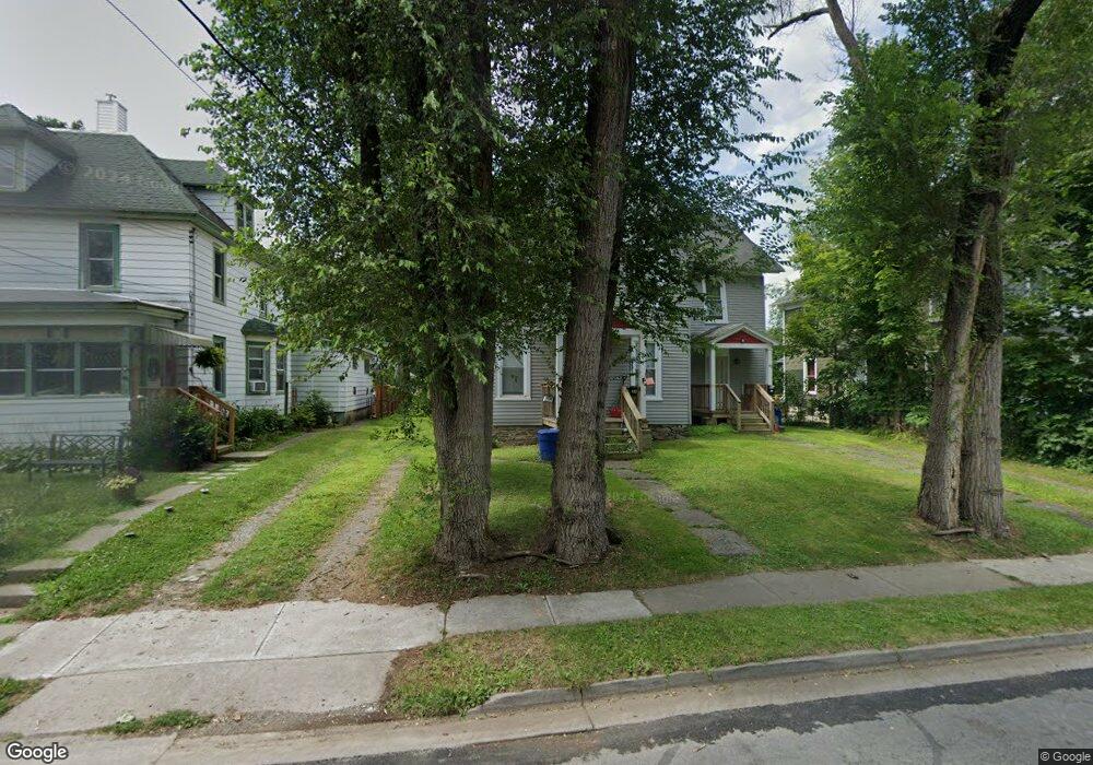
39 Burnside Ave Unit 41 Oneonta, NY 13820
Estimated Value: $118,000 - $198,000
5
Beds
2
Baths
2,200
Sq Ft
$73/Sq Ft
Est. Value
About This Home
This home is located at 39 Burnside Ave Unit 41, Oneonta, NY 13820 and is currently estimated at $160,371, approximately $72 per square foot. 39 Burnside Ave Unit 41 is a home located in Otsego County with nearby schools including Oneonta Senior High School and Oneonta Community Christian School.
Ownership History
Date
Name
Owned For
Owner Type
Purchase Details
Closed on
Feb 19, 2019
Sold by
Delaware National Bank
Bought by
Macclintock David
Current Estimated Value
Home Financials for this Owner
Home Financials are based on the most recent Mortgage that was taken out on this home.
Original Mortgage
$68,000
Interest Rate
4.4%
Mortgage Type
Stand Alone Refi Refinance Of Original Loan
Purchase Details
Closed on
Feb 14, 2019
Sold by
Delaware National Bank
Bought by
Macclintock David
Home Financials for this Owner
Home Financials are based on the most recent Mortgage that was taken out on this home.
Original Mortgage
$68,000
Interest Rate
4.4%
Mortgage Type
Stand Alone Refi Refinance Of Original Loan
Purchase Details
Closed on
Feb 15, 2005
Sold by
Fuchs Gerard R
Bought by
Ingalls Joseph H
Create a Home Valuation Report for This Property
The Home Valuation Report is an in-depth analysis detailing your home's value as well as a comparison with similar homes in the area
Home Values in the Area
Average Home Value in this Area
Purchase History
| Date | Buyer | Sale Price | Title Company |
|---|---|---|---|
| Macclintock David | $85,000 | -- | |
| Macclintock David | $85,000 | -- | |
| Ingalls Joseph H | $58,300 | -- |
Source: Public Records
Mortgage History
| Date | Status | Borrower | Loan Amount |
|---|---|---|---|
| Closed | Macclintock David | $68,000 | |
| Closed | Macclintock David | $68,000 |
Source: Public Records
Tax History Compared to Growth
Tax History
| Year | Tax Paid | Tax Assessment Tax Assessment Total Assessment is a certain percentage of the fair market value that is determined by local assessors to be the total taxable value of land and additions on the property. | Land | Improvement |
|---|---|---|---|---|
| 2024 | $4,349 | $119,800 | $14,700 | $105,100 |
| 2023 | $4,282 | $119,800 | $14,700 | $105,100 |
| 2022 | $4,117 | $119,800 | $14,700 | $105,100 |
| 2021 | $4,100 | $119,800 | $14,700 | $105,100 |
| 2020 | $4,118 | $119,800 | $14,700 | $105,100 |
| 2019 | $7,273 | $119,800 | $14,700 | $105,100 |
| 2018 | $7,273 | $119,800 | $14,700 | $105,100 |
| 2017 | $7,127 | $119,800 | $14,700 | $105,100 |
| 2016 | $6,974 | $119,800 | $14,700 | $105,100 |
| 2015 | -- | $76,000 | $8,500 | $67,500 |
| 2014 | -- | $76,000 | $8,500 | $67,500 |
Source: Public Records
Map
Nearby Homes
- 43 Burnside Ave Unit 45
- 37 Burnside Ave
- 40 London Ave
- 38 London Ave
- 42 London Ave Unit 42 london
- 42 London Ave Unit 44
- 42 London Ave
- 35 Burnside Ave
- 47 Burnside Ave
- 34 London Ave Unit 36
- 40 Burnside Ave
- 36 Burnside Ave Unit 38
- 31 Burnside Ave
- 49 Burnside Ave Unit 51
- 33 Burnside Ave
- 48 Burnside Ave
- 32 London Ave
- 34 Luther St Unit 36
- 39 London Ave Unit 43
- 33 London Ave Unit 35