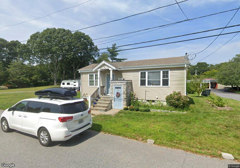
39 Cady Rd Barrington, RI 02806
North Barrington NeighborhoodEstimated Value: $497,000 - $732,000
2
Beds
1
Bath
590
Sq Ft
$1,102/Sq Ft
Est. Value
About This Home
This home is located at 39 Cady Rd, Barrington, RI 02806 and is currently estimated at $650,365, approximately $1,102 per square foot. 39 Cady Rd is a home located in Bristol County with nearby schools including Barrington High School, Barrington Christian Academy, and St. Andrews School.
Ownership History
Date
Name
Owned For
Owner Type
Purchase Details
Closed on
Sep 18, 2012
Sold by
Meyer Susan and Meyer Ladd
Bought by
Meyer Ladd J
Current Estimated Value
Home Financials for this Owner
Home Financials are based on the most recent Mortgage that was taken out on this home.
Original Mortgage
$109,000
Outstanding Balance
$75,423
Interest Rate
3.57%
Mortgage Type
New Conventional
Estimated Equity
$574,942
Purchase Details
Closed on
Apr 1, 2011
Sold by
Howe Nancy
Bought by
Fhlmc and Homesales Inc
Purchase Details
Closed on
Sep 5, 2001
Sold by
Depaolo Joseph and Sanborn Maria
Bought by
Howe Nancy
Create a Home Valuation Report for This Property
The Home Valuation Report is an in-depth analysis detailing your home's value as well as a comparison with similar homes in the area
Home Values in the Area
Average Home Value in this Area
Purchase History
| Date | Buyer | Sale Price | Title Company |
|---|---|---|---|
| Meyer Ladd J | $170,000 | -- | |
| Fhlmc | $110,765 | -- | |
| Howe Nancy | $119,000 | -- |
Source: Public Records
Mortgage History
| Date | Status | Borrower | Loan Amount |
|---|---|---|---|
| Open | Howe Nancy | $109,000 | |
| Previous Owner | Howe Nancy | $213,300 | |
| Previous Owner | Howe Nancy | $15,463 |
Source: Public Records
Tax History
| Year | Tax Paid | Tax Assessment Tax Assessment Total Assessment is a certain percentage of the fair market value that is determined by local assessors to be the total taxable value of land and additions on the property. | Land | Improvement |
|---|---|---|---|---|
| 2025 | $7,931 | $517,000 | $244,000 | $273,000 |
| 2024 | $7,626 | $517,000 | $244,000 | $273,000 |
| 2023 | $6,983 | $344,000 | $144,000 | $200,000 |
| 2022 | $6,760 | $344,000 | $144,000 | $200,000 |
| 2021 | $6,588 | $344,000 | $144,000 | $200,000 |
| 2020 | $6,270 | $300,000 | $119,000 | $181,000 |
| 2019 | $6,030 | $300,000 | $119,000 | $181,000 |
| 2018 | $5,850 | $300,000 | $119,000 | $181,000 |
| 2017 | $4,520 | $226,000 | $112,300 | $113,700 |
| 2016 | $4,170 | $226,000 | $112,300 | $113,700 |
| 2015 | $3,177 | $174,100 | $112,300 | $61,800 |
| 2014 | $3,241 | $177,100 | $97,400 | $79,700 |
Source: Public Records
Map
Nearby Homes
Your Personal Tour Guide
Ask me questions while you tour the home.