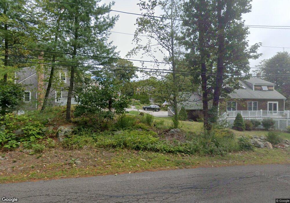
39 Cedar St Cohasset, MA 02025
Estimated Value: $701,000 - $1,155,000
3
Beds
3
Baths
3,261
Sq Ft
$253/Sq Ft
Est. Value
About This Home
This home is located at 39 Cedar St, Cohasset, MA 02025 and is currently estimated at $825,448, approximately $253 per square foot. 39 Cedar St is a home located in Norfolk County with nearby schools including Joseph Osgood School, Deer Hill School, and Cohasset Middle School.
Ownership History
Date
Name
Owned For
Owner Type
Purchase Details
Closed on
Nov 20, 2023
Sold by
Murphy James M and Murphy Elizabeth C
Bought by
Murphy Ft and Murphy
Current Estimated Value
Purchase Details
Closed on
Apr 18, 2008
Sold by
Albanese Gregory J and Majury Kimberley S
Bought by
Murphy Elizabeth C and Murphy James M
Home Financials for this Owner
Home Financials are based on the most recent Mortgage that was taken out on this home.
Original Mortgage
$150,000
Interest Rate
6.1%
Mortgage Type
Purchase Money Mortgage
Purchase Details
Closed on
Sep 25, 1998
Sold by
Kimla Brian J
Bought by
Majury Kimberley S
Purchase Details
Closed on
Jun 5, 1996
Sold by
Morse Samuel A
Bought by
Becker Laure E and Kimla Brian J
Purchase Details
Closed on
Dec 29, 1992
Sold by
Eachus H Todd
Bought by
Morse Samuel L
Create a Home Valuation Report for This Property
The Home Valuation Report is an in-depth analysis detailing your home's value as well as a comparison with similar homes in the area
Home Values in the Area
Average Home Value in this Area
Purchase History
| Date | Buyer | Sale Price | Title Company |
|---|---|---|---|
| Murphy Ft | -- | None Available | |
| Murphy Elizabeth C | $403,000 | -- | |
| Murphy Elizabeth C | $403,000 | -- | |
| Majury Kimberley S | $219,000 | -- | |
| Becker Laure E | $200,000 | -- | |
| Morse Samuel L | $160,000 | -- |
Source: Public Records
Mortgage History
| Date | Status | Borrower | Loan Amount |
|---|---|---|---|
| Previous Owner | Murphy Elizabeth C | $150,000 | |
| Previous Owner | Morse Samuel L | $270,000 | |
| Previous Owner | Morse Samuel L | $15,000 |
Source: Public Records
Tax History
| Year | Tax Paid | Tax Assessment Tax Assessment Total Assessment is a certain percentage of the fair market value that is determined by local assessors to be the total taxable value of land and additions on the property. | Land | Improvement |
|---|---|---|---|---|
| 2025 | $5,843 | $504,600 | $0 | $504,600 |
| 2024 | $5,559 | $456,800 | $0 | $456,800 |
| 2023 | $4,766 | $403,900 | $0 | $403,900 |
| 2022 | $4,533 | $360,900 | $0 | $360,900 |
| 2021 | $4,567 | $350,200 | $0 | $350,200 |
| 2020 | $4,542 | $350,200 | $0 | $350,200 |
| 2019 | $4,518 | $350,200 | $0 | $350,200 |
| 2018 | $4,479 | $350,200 | $0 | $350,200 |
| 2017 | $4,559 | $349,100 | $0 | $349,100 |
| 2016 | $4,654 | $361,300 | $0 | $361,300 |
| 2015 | $4,592 | $361,300 | $0 | $361,300 |
| 2014 | $4,531 | $361,300 | $0 | $361,300 |
Source: Public Records
Map
Nearby Homes
- 14 Cedarledge Village
- 96 Forest Ave
- 130 Forest Ave
- 506-512 N Main St
- 137 Fairoaks Ln
- 54 Old Coach Rd
- 107 Hull St
- 114 Hull St
- 45 Ocean Ledge Dr
- 166 Hull St
- 59 Wheelwright Unit 59
- 597 Jerusalem Rd
- LOT 1B Rockland St
- 63 Bancroft Rd
- 28 Bayberry Ln
- 18 Valley Beach Ave
- 47 Highland Ave
- 101 Rockland St
- 46 Pond St
- 48 Valley Beach Ave Unit 2
- 37 Cedar St
- 35 Cedar St
- 39 Cedar St Unit 3
- 35 Cedar St Unit 35
- 4 Cedarledge Village
- 4 Cedarledge Village Unit 4
- 54 Cedar St
- 5 Cedarledge Ln
- 5 Cedarledge Village Unit 5
- 9 Cedarledge Ln Unit 9
- 6 Cedarledge Village
- 7 Cedarledge Village
- 6 Cedarledge Ln
- 9 Cedarledge Village
- 9 Cedarledge Village Unit 9
- 33 Cedar St
- 32 Cedar St
- 18 Cedarledge Ln
- 18 Cedarledge Village Unit 18
- 64 Forest Ave
Your Personal Tour Guide
Ask me questions while you tour the home.