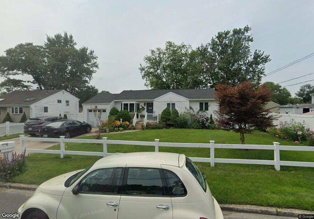
39 Champlain St Port Jefferson Station, NY 11776
Estimated Value: $503,000 - $554,429
3
Beds
1
Bath
962
Sq Ft
$558/Sq Ft
Est. Value
About This Home
This home is located at 39 Champlain St, Port Jefferson Station, NY 11776 and is currently estimated at $536,607, approximately $557 per square foot. 39 Champlain St is a home located in Suffolk County with nearby schools including John F Kennedy Middle School and Comsewogue High School.
Ownership History
Date
Name
Owned For
Owner Type
Purchase Details
Closed on
Mar 16, 2005
Current Estimated Value
Purchase Details
Closed on
Feb 5, 2003
Sold by
Cepeda Domingo and Cepeda Estela
Bought by
Fernandez Jose and Fernandez Epifania
Home Financials for this Owner
Home Financials are based on the most recent Mortgage that was taken out on this home.
Original Mortgage
$133,500
Interest Rate
7.86%
Purchase Details
Closed on
Nov 3, 1998
Sold by
Cepeda Domingo and Cepeda Estela
Bought by
Cepeda Domingo and Cepeda Estela
Create a Home Valuation Report for This Property
The Home Valuation Report is an in-depth analysis detailing your home's value as well as a comparison with similar homes in the area
Home Values in the Area
Average Home Value in this Area
Purchase History
| Date | Buyer | Sale Price | Title Company |
|---|---|---|---|
| -- | -- | -- | |
| Fernandez Jose | -- | Fidelity | |
| Cepeda Domingo | -- | Chicago Title Insurance Co |
Source: Public Records
Mortgage History
| Date | Status | Borrower | Loan Amount |
|---|---|---|---|
| Previous Owner | Fernandez Jose | $133,500 |
Source: Public Records
Tax History Compared to Growth
Tax History
| Year | Tax Paid | Tax Assessment Tax Assessment Total Assessment is a certain percentage of the fair market value that is determined by local assessors to be the total taxable value of land and additions on the property. | Land | Improvement |
|---|---|---|---|---|
| 2024 | $7,611 | $2,000 | $150 | $1,850 |
| 2023 | $7,611 | $2,000 | $150 | $1,850 |
| 2022 | $6,639 | $2,000 | $150 | $1,850 |
| 2021 | $6,639 | $2,000 | $150 | $1,850 |
| 2020 | $6,825 | $2,000 | $150 | $1,850 |
| 2019 | $6,825 | $0 | $0 | $0 |
| 2018 | $6,480 | $2,000 | $150 | $1,850 |
| 2017 | $6,480 | $2,000 | $150 | $1,850 |
| 2016 | $6,429 | $2,000 | $150 | $1,850 |
| 2015 | -- | $2,000 | $150 | $1,850 |
| 2014 | -- | $2,000 | $150 | $1,850 |
Source: Public Records
Map
Nearby Homes
- 58A Superior St
- 1 Dillon Ave
- 484 Bicycle Path
- 110 Clinton Ave
- 132 Clinton Ave
- 27 Parkridge Cir
- 138 Greene Ave
- 20 Revere Cir
- 5 Lincoln St
- 10 Orchid Dr
- 1506 Nicole Dr
- 1704 Nicole Dr
- 1405 Constance Ln
- 507 Constance Ln
- 903 Constance Ln
- 3 Lilac Ln
- 6 13th St
- 122 Stuyvesant Dr
- 10 Woodbine St
- 10 Welbourn Ln