Estimated Value: $455,356 - $592,000
3
Beds
3
Baths
960
Sq Ft
$522/Sq Ft
Est. Value
About This Home
This home is located at 39 Claretta Dr, Clyde, NC 28721 and is currently estimated at $501,589, approximately $522 per square foot. 39 Claretta Dr is a home with nearby schools including Riverbend Elementary, Waynesville Middle, and Tuscola High.
Ownership History
Date
Name
Owned For
Owner Type
Purchase Details
Closed on
Oct 27, 2006
Sold by
Mcnary George H and Mcnary Norma M
Bought by
Sisco Dale R and Sisco Julia M
Current Estimated Value
Home Financials for this Owner
Home Financials are based on the most recent Mortgage that was taken out on this home.
Original Mortgage
$191,600
Outstanding Balance
$114,476
Interest Rate
6.39%
Mortgage Type
New Conventional
Estimated Equity
$387,113
Create a Home Valuation Report for This Property
The Home Valuation Report is an in-depth analysis detailing your home's value as well as a comparison with similar homes in the area
Home Values in the Area
Average Home Value in this Area
Purchase History
| Date | Buyer | Sale Price | Title Company |
|---|---|---|---|
| Sisco Dale R | $239,500 | None Available |
Source: Public Records
Mortgage History
| Date | Status | Borrower | Loan Amount |
|---|---|---|---|
| Open | Sisco Dale R | $191,600 |
Source: Public Records
Tax History Compared to Growth
Tax History
| Year | Tax Paid | Tax Assessment Tax Assessment Total Assessment is a certain percentage of the fair market value that is determined by local assessors to be the total taxable value of land and additions on the property. | Land | Improvement |
|---|---|---|---|---|
| 2025 | -- | $283,400 | $48,600 | $234,800 |
| 2024 | $1,973 | $283,400 | $48,600 | $234,800 |
| 2023 | $1,973 | $283,400 | $48,600 | $234,800 |
| 2022 | $1,930 | $283,400 | $48,600 | $234,800 |
| 2021 | $1,930 | $283,400 | $48,600 | $234,800 |
| 2020 | $1,424 | $187,400 | $23,400 | $164,000 |
| 2019 | $1,429 | $187,400 | $23,400 | $164,000 |
| 2018 | $1,429 | $187,400 | $23,400 | $164,000 |
| 2017 | $1,429 | $187,400 | $0 | $0 |
| 2016 | $1,425 | $192,200 | $0 | $0 |
| 2015 | $1,425 | $192,200 | $0 | $0 |
| 2014 | $1,305 | $192,200 | $0 | $0 |
Source: Public Records
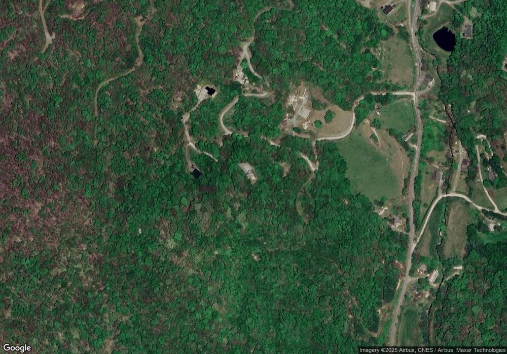
Map
Nearby Homes
- Lot 5 Mcnary Dr
- 0 Mcnary Dr
- 00 Mcnary Dr Unit 8
- Lot 4 Cloudy Hill Dr
- 99999 Gibson Branch Rd
- 93 Merry Way
- 1231 Grandeur Heights
- 00 Wesley Creek Rd
- 00000 Salt Rock Rd
- 0000 Wayward Cove Unit 18
- 190 Turkey Creek Rd
- 225 Fines Creek Rd
- 0000 Short Ridge Ln
- 3424 Wesley Creek Rd
- 00 Max Patch Rd
- 00 Sugar Cove Rd
- 35 Flying Hawk Way
- 514 Skyridge Dr
- 101 Serenity Ln
- 102 Serenity Ln
- 85 Clearwater Ln
- 85 Claretta Dr
- 46 Log Cabin Ln
- Lot 11 Claretta Dr
- 99999 Mcnary Dr Unit 5
- 99999 Mcnary Dr Unit 4
- 471 Mcnary Dr
- 941 Wesley Creek Rd
- 841 Wesley Creek Rd
- Lot 5 Mcnair Dr
- 77 Gibson Branch Rd
- 1010 Wesley Creek Rd
- 786 Wesley Creek Rd
- 665 Wesley Creek Rd
- 98 Cloudy Hill Dr
- 1084 Wesley Creek Rd
- 1081 Wesley Creek Rd
- 164 Cloudy Hill Dr
- 225 Cloudy Hill Dr
- 124 Gibson Branch Rd