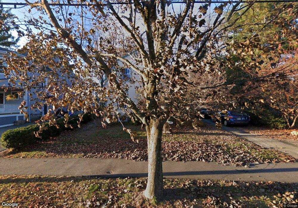
39 Clarke St Lexington, MA 02421
Munroe Hill NeighborhoodEstimated Value: $968,000 - $1,744,000
3
Beds
2
Baths
1,264
Sq Ft
$1,140/Sq Ft
Est. Value
About This Home
This home is located at 39 Clarke St, Lexington, MA 02421 and is currently estimated at $1,440,391, approximately $1,139 per square foot. 39 Clarke St is a home located in Middlesex County with nearby schools including Fiske Elementary School, William Diamond Middle School, and Lexington High School.
Ownership History
Date
Name
Owned For
Owner Type
Purchase Details
Closed on
Jul 17, 2015
Sold by
39 Clarke Street Rt
Bought by
Clarke Street Nt
Current Estimated Value
Purchase Details
Closed on
Mar 20, 2003
Sold by
Shamash Rosslyn C S
Bought by
39 Clarke Street Rt
Purchase Details
Closed on
Jul 19, 2000
Sold by
Brucker Garrett A and Brucker Paula M
Bought by
Shamash Rosslyn C
Home Financials for this Owner
Home Financials are based on the most recent Mortgage that was taken out on this home.
Original Mortgage
$200,000
Interest Rate
8.28%
Mortgage Type
Purchase Money Mortgage
Purchase Details
Closed on
Aug 30, 1996
Sold by
Bradford John N and Bradford Phyllis C
Bought by
Brucker Garrett A and Brucker Paula M
Create a Home Valuation Report for This Property
The Home Valuation Report is an in-depth analysis detailing your home's value as well as a comparison with similar homes in the area
Home Values in the Area
Average Home Value in this Area
Purchase History
| Date | Buyer | Sale Price | Title Company |
|---|---|---|---|
| Clarke Street Nt | -- | -- | |
| 39 Clarke Street Rt | -- | -- | |
| Shamash Rosslyn C | $575,000 | -- | |
| Brucker Garrett A | $370,000 | -- |
Source: Public Records
Mortgage History
| Date | Status | Borrower | Loan Amount |
|---|---|---|---|
| Previous Owner | Brucker Garrett A | $200,000 | |
| Previous Owner | Brucker Garrett A | $27,000 | |
| Previous Owner | Brucker Garrett A | $329,500 |
Source: Public Records
Tax History
| Year | Tax Paid | Tax Assessment Tax Assessment Total Assessment is a certain percentage of the fair market value that is determined by local assessors to be the total taxable value of land and additions on the property. | Land | Improvement |
|---|---|---|---|---|
| 2025 | $15,850 | $1,296,000 | $1,024,000 | $272,000 |
| 2024 | $15,276 | $1,247,000 | $976,000 | $271,000 |
| 2023 | $14,651 | $1,127,000 | $887,000 | $240,000 |
| 2022 | $14,090 | $1,021,000 | $806,000 | $215,000 |
| 2021 | $3,441 | $976,000 | $768,000 | $208,000 |
| 2020 | $13,713 | $976,000 | $768,000 | $208,000 |
| 2019 | $13,075 | $926,000 | $731,000 | $195,000 |
| 2018 | $4,707 | $865,000 | $677,000 | $188,000 |
| 2017 | $3,178 | $823,000 | $645,000 | $178,000 |
| 2016 | $11,709 | $802,000 | $592,000 | $210,000 |
| 2015 | $10,922 | $735,000 | $538,000 | $197,000 |
| 2014 | $10,144 | $654,000 | $482,000 | $172,000 |
Source: Public Records
Map
Nearby Homes
- 32 Forest St
- 1900 Massachusetts Ave
- 1894 Massachusetts Ave
- 178 Waltham St
- 7 Baskin Rd
- 42 Winthrop Rd
- 16 Meriam St
- 32 Edgewood Rd Unit 3
- 32 Edgewood Rd Unit 1
- 15 Slocum Rd
- 2 Effie Place
- 93 Bedford St Unit 201
- 93 Bedford St Unit 308
- 93 Bedford St Unit 108
- 18 Hill St
- 92 Hill St
- 51 Bloomfield St
- 1475 Massachusetts Ave Unit 467
- 65 Sherburne Rd S
- 1 Revere St
Your Personal Tour Guide
Ask me questions while you tour the home.