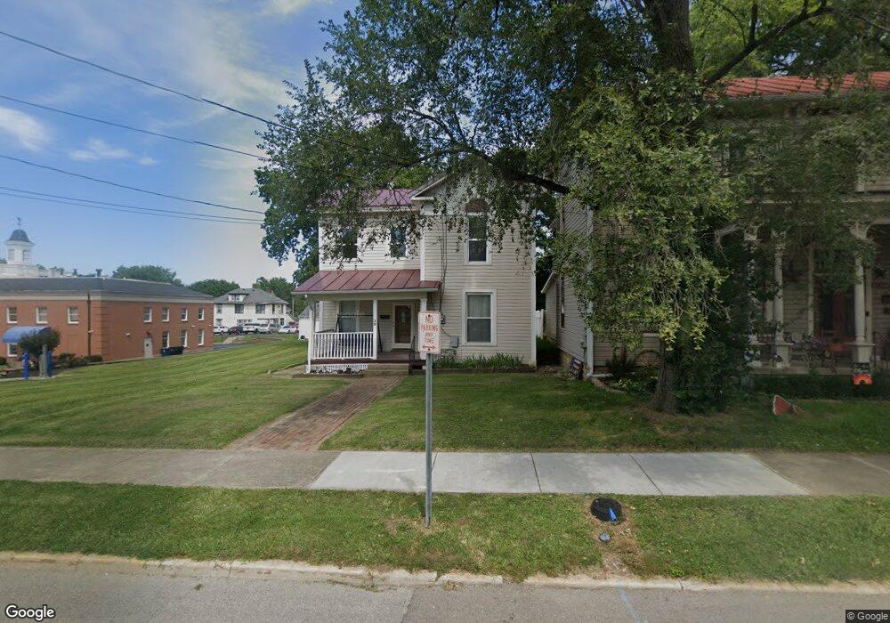
39 Columbus St Wilmington, OH 45177
Estimated Value: $160,000 - $211,133
3
Beds
2
Baths
1,946
Sq Ft
$96/Sq Ft
Est. Value
About This Home
This home is located at 39 Columbus St, Wilmington, OH 45177 and is currently estimated at $186,283, approximately $95 per square foot. 39 Columbus St is a home located in Clinton County with nearby schools including East End Elementary School, Denver Place Elementary School, and Roy E. Holmes Elementary School.
Ownership History
Date
Name
Owned For
Owner Type
Purchase Details
Closed on
Sep 28, 2004
Sold by
Stratton Darrell
Bought by
Chamberlin Dale
Current Estimated Value
Home Financials for this Owner
Home Financials are based on the most recent Mortgage that was taken out on this home.
Original Mortgage
$61,600
Interest Rate
5.95%
Mortgage Type
Purchase Money Mortgage
Purchase Details
Closed on
Aug 10, 2004
Sold by
Stratton Darrell
Bought by
Chamberlin Dale
Home Financials for this Owner
Home Financials are based on the most recent Mortgage that was taken out on this home.
Original Mortgage
$61,600
Interest Rate
5.95%
Mortgage Type
Purchase Money Mortgage
Purchase Details
Closed on
Apr 16, 1999
Sold by
Stratton Cora Leora
Bought by
Stratton Darrell
Purchase Details
Closed on
May 11, 1994
Bought by
Stratton Cora Leora
Create a Home Valuation Report for This Property
The Home Valuation Report is an in-depth analysis detailing your home's value as well as a comparison with similar homes in the area
Home Values in the Area
Average Home Value in this Area
Purchase History
| Date | Buyer | Sale Price | Title Company |
|---|---|---|---|
| Chamberlin Dale | $77,000 | -- | |
| Chamberlin Dale | $77,000 | Tri Star Title Agency Inc | |
| Stratton Darrell | $8,000 | -- | |
| Stratton Cora Leora | -- | -- |
Source: Public Records
Mortgage History
| Date | Status | Borrower | Loan Amount |
|---|---|---|---|
| Previous Owner | Chamberlin Dale | $61,600 |
Source: Public Records
Tax History
| Year | Tax Paid | Tax Assessment Tax Assessment Total Assessment is a certain percentage of the fair market value that is determined by local assessors to be the total taxable value of land and additions on the property. | Land | Improvement |
|---|---|---|---|---|
| 2024 | $1,125 | $44,070 | $4,970 | $39,100 |
| 2023 | $1,421 | $44,070 | $4,970 | $39,100 |
| 2022 | $1,123 | $31,470 | $4,510 | $26,960 |
| 2021 | $1,137 | $31,470 | $4,510 | $26,960 |
| 2020 | $1,068 | $31,470 | $4,510 | $26,960 |
| 2019 | $1,051 | $28,200 | $4,810 | $23,390 |
| 2018 | $1,061 | $28,200 | $4,810 | $23,390 |
| 2017 | $1,031 | $28,200 | $4,810 | $23,390 |
| 2016 | $947 | $25,660 | $4,590 | $21,070 |
| 2015 | $969 | $25,660 | $4,590 | $21,070 |
| 2013 | $974 | $26,500 | $4,590 | $21,910 |
Source: Public Records
Map
Nearby Homes
- 70 Library Ave
- 0 St Rt 134 Unit 1607133
- 0 S US Rt 68 Unit 1527315
- 277 N Spring St
- 287 E Locust St
- 0 Prairie Rd Unit 1863689
- 0 Antioch Rd Unit 891198
- 0 N Wood St
- 201 N Wall St
- 170 N Wall St
- 379 Virginia Cir
- 272 S Walnut St
- 1.458 AC Prairie Ave
- 668 Catalpa Dr
- 15 Meadow Run Trail Unit 6A
- 841 Ohio Ave
- 454 Belmont Ave
- 731 Fife Ave
- 56 E Short St
- 174 B St
Your Personal Tour Guide
Ask me questions while you tour the home.