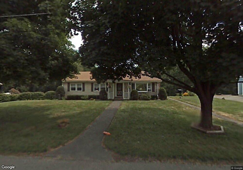
39 Connor Ln Lancaster, MA 01523
Estimated Value: $515,000 - $544,000
2
Beds
3
Baths
1,400
Sq Ft
$378/Sq Ft
Est. Value
About This Home
This home is located at 39 Connor Ln, Lancaster, MA 01523 and is currently estimated at $529,823, approximately $378 per square foot. 39 Connor Ln is a home located in Worcester County with nearby schools including Mary Rowlandson Elementary School, Luther Burbank Middle School, and Nashoba Regional High School.
Ownership History
Date
Name
Owned For
Owner Type
Purchase Details
Closed on
Apr 29, 1983
Bought by
Oskirko Steven and Oskirko Mary B
Current Estimated Value
Create a Home Valuation Report for This Property
The Home Valuation Report is an in-depth analysis detailing your home's value as well as a comparison with similar homes in the area
Home Values in the Area
Average Home Value in this Area
Purchase History
| Date | Buyer | Sale Price | Title Company |
|---|---|---|---|
| Oskirko Steven | $67,500 | -- |
Source: Public Records
Mortgage History
| Date | Status | Borrower | Loan Amount |
|---|---|---|---|
| Open | Oskirko Steven | $56,000 | |
| Closed | Oskirko Steven | $30,000 | |
| Closed | Oskirko Steven | $59,500 | |
| Closed | Oskirko Steven | $30,000 |
Source: Public Records
Tax History
| Year | Tax Paid | Tax Assessment Tax Assessment Total Assessment is a certain percentage of the fair market value that is determined by local assessors to be the total taxable value of land and additions on the property. | Land | Improvement |
|---|---|---|---|---|
| 2025 | $7,539 | $466,500 | $122,900 | $343,600 |
| 2024 | $7,602 | $435,400 | $114,400 | $321,000 |
| 2023 | $6,983 | $406,200 | $104,000 | $302,200 |
| 2022 | $6,520 | $335,200 | $106,100 | $229,100 |
| 2021 | $6,362 | $318,400 | $106,100 | $212,300 |
| 2020 | $6,511 | $328,000 | $106,000 | $222,000 |
| 2019 | $6,053 | $306,500 | $106,000 | $200,500 |
| 2018 | $5,704 | $285,500 | $106,000 | $179,500 |
| 2016 | $5,298 | $271,000 | $105,000 | $166,000 |
| 2015 | $5,099 | $271,800 | $105,000 | $166,800 |
| 2014 | $4,964 | $262,500 | $105,000 | $157,500 |
Source: Public Records
Map
Nearby Homes
- 54 S Meadow Rd
- 37 Sterling St
- 0 Parker Rd
- 20 Willow St
- 5 Catherine St
- 51 Rigby St
- 2 Lydia Ln
- 861 Main St
- 76 Mill St Unit 3
- 73 Prescott St
- 719 Main St
- 55 Sterling St Unit 306
- 55 Sterling St Unit 312
- 55 Sterling St Unit 314
- 55 Sterling St Unit 212
- 57 Clark St
- 508 High St
- 132 Kilbourn Rd
- 93 Forest St
- 25 Pearl St
Your Personal Tour Guide
Ask me questions while you tour the home.