39 Countryside Path Rockmart, GA 30153
Estimated Value: $291,000 - $470,121
3
Beds
2
Baths
1,329
Sq Ft
$283/Sq Ft
Est. Value
About This Home
This home is located at 39 Countryside Path, Rockmart, GA 30153 and is currently estimated at $376,030, approximately $282 per square foot. 39 Countryside Path is a home located in Paulding County with nearby schools including Sara M. Ragsdale Elementary School, Carl Scoggins Sr. Middle School, and Paulding County High School.
Ownership History
Date
Name
Owned For
Owner Type
Purchase Details
Closed on
Mar 20, 2007
Sold by
Hamilton Robert A
Bought by
Dale Lacy H and Dale Rhonda J
Current Estimated Value
Home Financials for this Owner
Home Financials are based on the most recent Mortgage that was taken out on this home.
Original Mortgage
$187,500
Outstanding Balance
$112,806
Interest Rate
6.15%
Mortgage Type
New Conventional
Estimated Equity
$263,224
Create a Home Valuation Report for This Property
The Home Valuation Report is an in-depth analysis detailing your home's value as well as a comparison with similar homes in the area
Home Values in the Area
Average Home Value in this Area
Purchase History
| Date | Buyer | Sale Price | Title Company |
|---|---|---|---|
| Dale Lacy H | $187,500 | -- |
Source: Public Records
Mortgage History
| Date | Status | Borrower | Loan Amount |
|---|---|---|---|
| Open | Dale Lacy H | $187,500 |
Source: Public Records
Tax History Compared to Growth
Tax History
| Year | Tax Paid | Tax Assessment Tax Assessment Total Assessment is a certain percentage of the fair market value that is determined by local assessors to be the total taxable value of land and additions on the property. | Land | Improvement |
|---|---|---|---|---|
| 2024 | $3,840 | $157,600 | $53,880 | $103,720 |
| 2023 | $4,020 | $156,740 | $47,880 | $108,860 |
| 2022 | $3,219 | $125,368 | $43,040 | $82,328 |
| 2021 | $2,930 | $102,700 | $34,280 | $68,420 |
| 2020 | $2,733 | $93,880 | $36,160 | $57,720 |
| 2019 | $2,539 | $86,140 | $31,160 | $54,980 |
| 2018 | $2,286 | $77,744 | $29,600 | $48,144 |
| 2017 | $2,217 | $74,444 | $29,600 | $44,844 |
| 2016 | $2,014 | $68,480 | $31,880 | $36,600 |
| 2015 | $1,977 | $66,080 | $31,880 | $34,200 |
| 2014 | $1,789 | $58,520 | $27,320 | $31,200 |
| 2013 | -- | $50,120 | $27,280 | $22,840 |
Source: Public Records
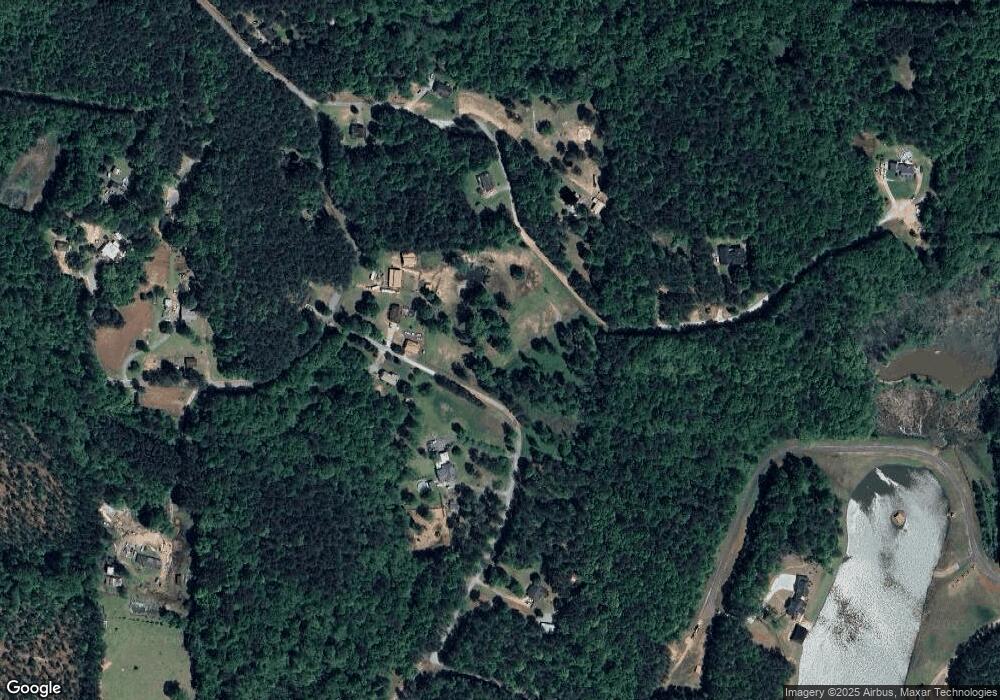
Map
Nearby Homes
- 4790 Georgia 101
- 790 Presley Farm Pkwy
- 1153 Old Yorkville Rd
- 716 Presley Farm Pkwy
- 662 Presley Farm Pkwy
- 540 Presley Farm Pkwy
- 642 Presley Farm Pkwy
- 35 Ravenwood Dr
- 3002 Highway 101 N
- 39 Rosemary Path
- 110 Conifer Ln
- 318 Thorn Thicket Dr
- 461 Barnwood Dr
- 164 Puckett Rd
- 516 Barnwood Dr
- 280 Carthage Blvd
- 184 Gamel Rd
- 202 Gamel Rd
- 572 Southern Trace Dr
- 422 Williams Ct
- 50 Countryside Path
- 342 Williams Ct
- 140 Oak Haven Path
- 48 Oak Haven Path
- 00 Oak Haven Path
- 0 Oak Haven Path
- 328 Williams Ct
- 187 Oak Haven Path
- 59 Oak Haven Path
- 180 Countryside Path
- 7 Oak Haven Path
- 552 Williams Ct
- 240 Williams Ct
- 562 Williams Ct
- 767 Williams Ct
- 245 Williams Ct
- 694 Williams Ct
- 742 Williams Ct
- 697 Williams Ct