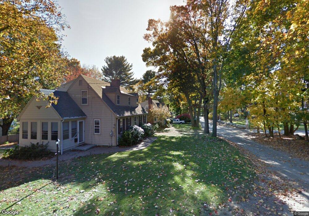
39 County Rd Reading, MA 01867
Estimated Value: $838,000 - $941,000
About This Home
This home is located at 39 County Rd, Reading, MA 01867 and is currently estimated at $906,641, approximately $518 per square foot. 39 County Rd is a home located in Middlesex County with nearby schools including Alice M. Barrows Elementary School, Walter S. Parker Middle School, and Reading Memorial High School.
Ownership History
We collect this data history from publicly available records. To have your information removed, we recommend requesting removal directly through your county’s website.
Purchase Details
Purchase Details
Home Financials for this Owner
Home Financials are based on the most recent Mortgage that was taken out on this home.Home Values in the Area
Average Home Value in this Area
Purchase History
We collect this data history from publicly available records. To have your information removed, we recommend requesting removal directly through your county’s website.
| Date | Buyer | Sale Price | Title Company |
|---|---|---|---|
| $330,000 | -- | ||
| $205,000 | -- |
Mortgage History
We collect this data history from publicly available records. To have your information removed, we recommend requesting removal directly through your county’s website.
| Date | Status | Borrower | Loan Amount |
|---|---|---|---|
| Open | $15,000 | ||
| Previous Owner | $99,000 | ||
| Previous Owner | $164,000 | ||
| Previous Owner | $164,000 |
Map
- 293 Woburn St
- 8 Berkeley St
- 38 Berkeley St
- 18 Gleason Rd
- 148 South St
- 16 Munroe Ave
- 115 Prescott St
- 84 King St
- 168 Summer Ave
- 443 Summer Ave
- 20 Talbot Ln Unit 20
- 18 Talbot Ln Unit 18
- 16 Taylor Dr Unit 3012
- 16 Taylor Dr Unit 3003
- 120 Summer Ave
- 84 Curtis St
- 23 Augustus Ct Unit 4003
- 24 Pinevale Ave
- 20 Pinevale Ave
- 7 Dewey Ave
Ask me questions while you tour the home.