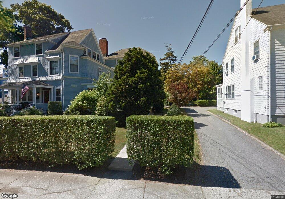
39 Cranston Ave Newport, RI 02840
Kay-Catherine NeighborhoodEstimated Value: $646,975
1
Bed
1
Bath
740
Sq Ft
$874/Sq Ft
Est. Value
About This Home
This home is located at 39 Cranston Ave, Newport, RI 02840 and is currently estimated at $646,975, approximately $874 per square foot. 39 Cranston Ave is a home located in Newport County with nearby schools including Rogers High School, St Michael's Country Day School, and St George's School.
Ownership History
Date
Name
Owned For
Owner Type
Purchase Details
Closed on
May 1, 2003
Sold by
Benevides Jane
Bought by
Pike Exum
Current Estimated Value
Home Financials for this Owner
Home Financials are based on the most recent Mortgage that was taken out on this home.
Original Mortgage
$216,000
Outstanding Balance
$94,083
Interest Rate
5.82%
Mortgage Type
Purchase Money Mortgage
Estimated Equity
$552,892
Purchase Details
Closed on
Aug 6, 2002
Sold by
Dennis Lynette C and Naylor Kol
Bought by
Saladyga Michaeline B
Purchase Details
Closed on
Jun 14, 2002
Sold by
Going Connie S
Bought by
Benevides Janice
Purchase Details
Closed on
Dec 15, 2000
Sold by
Gay David J
Bought by
Dennis Lynette C and Naylor Kol S
Home Financials for this Owner
Home Financials are based on the most recent Mortgage that was taken out on this home.
Original Mortgage
$131,250
Interest Rate
7.7%
Mortgage Type
Purchase Money Mortgage
Create a Home Valuation Report for This Property
The Home Valuation Report is an in-depth analysis detailing your home's value as well as a comparison with similar homes in the area
Home Values in the Area
Average Home Value in this Area
Purchase History
| Date | Buyer | Sale Price | Title Company |
|---|---|---|---|
| Pike Exum | $240,000 | -- | |
| Saladyga Michaeline B | $250,000 | -- | |
| Benevides Janice | $195,000 | -- | |
| Dennis Lynette C | $150,000 | -- |
Source: Public Records
Mortgage History
| Date | Status | Borrower | Loan Amount |
|---|---|---|---|
| Open | Dennis Lynette C | $216,000 | |
| Previous Owner | Dennis Lynette C | $96,500 | |
| Previous Owner | Dennis Lynette C | $131,250 | |
| Previous Owner | Dennis Lynette C | $63,800 |
Source: Public Records
Tax History
| Year | Tax Paid | Tax Assessment Tax Assessment Total Assessment is a certain percentage of the fair market value that is determined by local assessors to be the total taxable value of land and additions on the property. | Land | Improvement |
|---|---|---|---|---|
| 2025 | -- | $0 | $0 | $0 |
| 2024 | -- | $0 | $0 | $0 |
| 2023 | $0 | $0 | $0 | $0 |
| 2022 | $0 | $0 | $0 | $0 |
| 2021 | $0 | $0 | $0 | $0 |
| 2020 | $0 | $0 | $0 | $0 |
Source: Public Records
Map
Nearby Homes
- 78 Rhode Island Ave Unit 6
- 78 Rhode Island Ave Unit 8
- 39 Powel Ave Unit 1
- 105 Broadway
- 23 Mann Ave Unit 4
- 1 Pell St
- 198 Gibbs Ave
- 102 Broadway Unit 2B
- 28 Pond Ave
- 61 Gibbs Ave
- 5 Bowser Ct
- 14 Brinley St Unit 3
- 13 Sherman St
- 51 Warner St
- 21 Spring St Unit 2
- 21 Spring St Unit 3
- 10 Barney St Unit 107
- 10 Barney St Unit 101
- 10 Barney St Unit 102
- 10 Barney St Unit U106
- 41 Cranston Ave Unit 5
- 41 Cranston Ave Unit 2
- 41 Cranston Ave Unit 4
- 39 Cranston Ave Unit 41
- 39 Cranston Ave Unit 41
- 39 Cranston Ave Unit 41
- 39 Cranston Ave Unit 41
- 39 Cranston Ave Unit 41
- 39 Cranston Ave Unit 1
- 39 Cranston Ave Unit 4
- 39- 41 Cranston Ave Unit 3
- 39 Cranston Ave Unit 5
- 39 Cranston Ave Unit 3
- 33 Cranston Ave Unit 35
- 70 Kay St
- 66 Kay St Unit 3
- 66 Kay St Unit 1
- 66 Kay St Unit 2
- 40 Cranston Ave
- 40 Cranston Ave Unit 2
Your Personal Tour Guide
Ask me questions while you tour the home.