39 Crestwood Ln Swanton, MD 21561
Estimated Value: $306,000 - $451,000
--
Bed
--
Bath
2,010
Sq Ft
$181/Sq Ft
Est. Value
About This Home
This home is located at 39 Crestwood Ln, Swanton, MD 21561 and is currently estimated at $364,149, approximately $181 per square foot. 39 Crestwood Ln is a home located in Garrett County with nearby schools including Broad Ford Elementary School, Southern Middle School, and Southern Garrett High School.
Ownership History
Date
Name
Owned For
Owner Type
Purchase Details
Closed on
Dec 23, 2016
Sold by
Aburn William R
Bought by
Martin Anthony and Martin Amy Renee
Current Estimated Value
Home Financials for this Owner
Home Financials are based on the most recent Mortgage that was taken out on this home.
Original Mortgage
$195,360
Outstanding Balance
$158,860
Interest Rate
3.75%
Mortgage Type
FHA
Estimated Equity
$205,289
Purchase Details
Closed on
Sep 17, 2012
Sold by
Hammen James C
Bought by
Aburn William R and Aburn Cheri M
Purchase Details
Closed on
Sep 9, 1997
Sold by
Wade Kenneth
Bought by
Hammen James C
Create a Home Valuation Report for This Property
The Home Valuation Report is an in-depth analysis detailing your home's value as well as a comparison with similar homes in the area
Home Values in the Area
Average Home Value in this Area
Purchase History
| Date | Buyer | Sale Price | Title Company |
|---|---|---|---|
| Martin Anthony | $240,000 | Property Title & Escrow Llc | |
| Aburn William R | $22,500 | Sage Title Group Llc | |
| Hammen James C | $12,900 | -- |
Source: Public Records
Mortgage History
| Date | Status | Borrower | Loan Amount |
|---|---|---|---|
| Open | Martin Anthony | $195,360 |
Source: Public Records
Tax History Compared to Growth
Tax History
| Year | Tax Paid | Tax Assessment Tax Assessment Total Assessment is a certain percentage of the fair market value that is determined by local assessors to be the total taxable value of land and additions on the property. | Land | Improvement |
|---|---|---|---|---|
| 2025 | $3,244 | $281,267 | $0 | $0 |
| 2024 | $3,142 | $263,900 | $30,000 | $233,900 |
| 2023 | $3,040 | $255,133 | $0 | $0 |
| 2022 | $2,938 | $246,367 | $0 | $0 |
| 2021 | $2,835 | $237,600 | $30,000 | $207,600 |
| 2020 | $2,835 | $237,600 | $30,000 | $207,600 |
| 2019 | $2,835 | $237,600 | $30,000 | $207,600 |
| 2018 | $2,698 | $239,400 | $30,000 | $209,400 |
| 2017 | $2,698 | $239,400 | $0 | $0 |
| 2016 | -- | $25,000 | $0 | $0 |
| 2015 | -- | $25,000 | $0 | $0 |
| 2014 | -- | $25,000 | $0 | $0 |
Source: Public Records
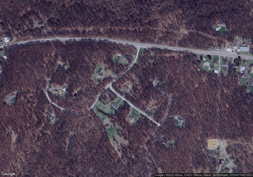
Map
Nearby Homes
- 16652 Maryland Hwy
- 18537 Maryland Hwy
- 19027 Maryland Hwy
- 0 Westernport Rd Unit MDAL2011410
- 54 Maryland Ave
- 68 Knight St
- 108 Knight St
- 764 Maple Forest Ln
- 246 W Fairview St
- 225 Vine St
- 400 Walnut St
- 222 Rock St
- 312 Hammond St
- 136 Maryland Ave
- 524 Maryland Ave
- 213 Central Ave
- 226 Green St
- 0 Pinnacle Rd Unit WVMI2003698
- 3601 Swanton Rd
- 2221 Dry Run Rd
- 50 Crestwood Ln
- 101 Crestwood Ln
- 121 Apex Ct
- 82 Crestwood Ln
- 118 High Crest Dr
- 34 High Crest Dr
- 29 High Crest Dr
- 187 High Crest Dr
- 168 High Crest Dr
- 76 Apex Ct
- 36 Apex Ct
- 348 High Crest Dr
- 334 High Crest Dr
- 17694 Maryland Hwy
- 285 High Crest Dr
- 17734 Maryland Hwy
- 17754 Maryland Hwy
- 17739 Maryland Hwy
- 2 Apex Ct
- 17778 Maryland Hwy