39 Daisy Ln Gorham, ME 04038
Estimated Value: $591,171 - $617,000
3
Beds
2
Baths
1,850
Sq Ft
$327/Sq Ft
Est. Value
About This Home
This home is located at 39 Daisy Ln, Gorham, ME 04038 and is currently estimated at $605,043, approximately $327 per square foot. 39 Daisy Ln is a home located in Cumberland County with nearby schools including Village Elementary School, Gorham Middle School, and Gorham High School.
Ownership History
Date
Name
Owned For
Owner Type
Purchase Details
Closed on
Oct 28, 2013
Sold by
Robie Builders Llc
Bought by
Beaumont Jennifer B and Beaumont 3Rd Richard
Current Estimated Value
Home Financials for this Owner
Home Financials are based on the most recent Mortgage that was taken out on this home.
Original Mortgage
$307,000
Outstanding Balance
$228,456
Interest Rate
4.56%
Mortgage Type
New Conventional
Estimated Equity
$376,587
Create a Home Valuation Report for This Property
The Home Valuation Report is an in-depth analysis detailing your home's value as well as a comparison with similar homes in the area
Home Values in the Area
Average Home Value in this Area
Purchase History
| Date | Buyer | Sale Price | Title Company |
|---|---|---|---|
| Beaumont Jennifer B | -- | -- |
Source: Public Records
Mortgage History
| Date | Status | Borrower | Loan Amount |
|---|---|---|---|
| Open | Beaumont Jennifer B | $307,000 |
Source: Public Records
Tax History
| Year | Tax Paid | Tax Assessment Tax Assessment Total Assessment is a certain percentage of the fair market value that is determined by local assessors to be the total taxable value of land and additions on the property. | Land | Improvement |
|---|---|---|---|---|
| 2025 | $6,093 | $411,700 | $73,000 | $338,700 |
| 2024 | $6,052 | $411,700 | $73,000 | $338,700 |
| 2023 | $5,661 | $411,700 | $73,000 | $338,700 |
| 2022 | $5,290 | $411,700 | $73,000 | $338,700 |
| 2021 | $5,224 | $269,300 | $94,300 | $175,000 |
| 2020 | $5,117 | $269,300 | $94,300 | $175,000 |
| 2019 | $5,103 | $269,300 | $94,300 | $175,000 |
| 2018 | $4,901 | $269,300 | $94,300 | $175,000 |
| 2017 | $4,605 | $269,300 | $94,300 | $175,000 |
| 2016 | $4,582 | $269,500 | $94,500 | $175,000 |
| 2015 | $4,393 | $269,500 | $94,500 | $175,000 |
| 2014 | $3,995 | $229,600 | $75,600 | $154,000 |
| 2013 | $3,318 | $191,800 | $37,800 | $154,000 |
Source: Public Records
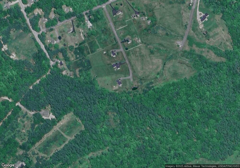
Map
Nearby Homes
- 35 Rust Rd
- 16 Daniel St
- 866 Parker Farm Rd Unit A
- 866 Parker Farm Rd Unit B
- 866 Parker Farm Lot B Rd
- 866 Parker Farm Lot A Rd
- 82 Carll Rd
- 720 Parker Farm Rd
- 30 Joan Dixon Way
- 24 Harding Rd
- 17 Boreal Dr
- 30 Boreal Dr
- 0 Waterman
- 24 Solomon Dr
- 15 Green St
- 127 Falcon Crest Dr Unit 4
- 12 Strouts Way
- 16 Norway Rd
- 91 South St
- 16 Laurel Pines Dr
- 29 Daisy Ln
- 21 Daisy Ln
- 16 Daisy Ln
- 126 Finn Parker Rd
- 126 Wood Rd
- 116 Finn Parker Rd
- 130 Wood Rd
- 120 Wood Rd
- 108 Wood Rd
- 136 Wood Rd
- 0 Blueberry Ridge Subdivison Unit 1251648
- 0 Blueberry Ridge Subdivison Unit 1282178
- 0 Deacon's Field Rd Unit 1217199
- 127 Wood Rd
- 131 Wood Rd
- 135 Wood Rd
- 123 Wood Rd
- 117 Wood Rd
- 114 Finn Parker Rd
- 111 Wood Rd
Your Personal Tour Guide
Ask me questions while you tour the home.