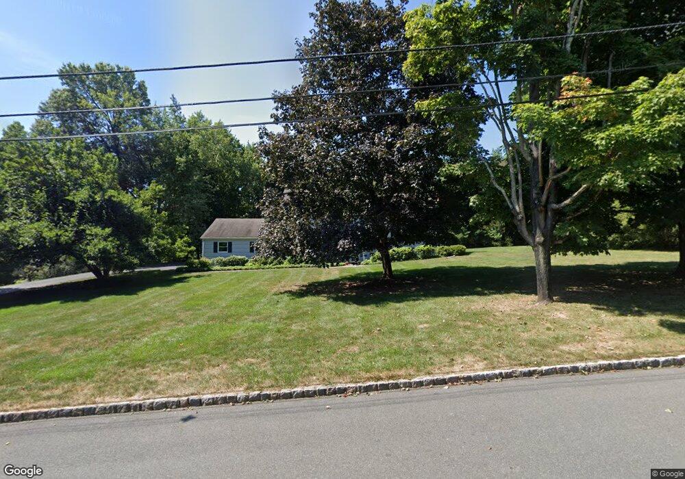
39 Dawn Dr Basking Ridge, NJ 07920
Estimated Value: $1,086,000 - $1,148,000
Studio
--
Bath
2,369
Sq Ft
$470/Sq Ft
Est. Value
About This Home
This home is located at 39 Dawn Dr, Basking Ridge, NJ 07920 and is currently estimated at $1,112,405, approximately $469 per square foot. 39 Dawn Dr is a home located in Somerset County with nearby schools including Oak Street Elementary School, William Annin Middle School, and Ridge High School.
Ownership History
Date
Name
Owned For
Owner Type
Purchase Details
Closed on
Jul 17, 2024
Sold by
Rusek Joan A
Bought by
Robert W Rusek Revocable Living Trust and Rusek
Current Estimated Value
Purchase Details
Closed on
Feb 22, 2002
Sold by
Rusek Robert
Bought by
Rusek Joan
Create a Home Valuation Report for This Property
The Home Valuation Report is an in-depth analysis detailing your home's value as well as a comparison with similar homes in the area
Home Values in the Area
Average Home Value in this Area
Purchase History
| Date | Buyer | Sale Price | Title Company |
|---|---|---|---|
| Robert W Rusek Revocable Living Trust | -- | Accommodation/Courtesy Recordi | |
| Robert W Rusek Revocable Living Trust | -- | Accommodation/Courtesy Recordi | |
| Rusek Joan | -- | -- |
Source: Public Records
Tax History
| Year | Tax Paid | Tax Assessment Tax Assessment Total Assessment is a certain percentage of the fair market value that is determined by local assessors to be the total taxable value of land and additions on the property. | Land | Improvement |
|---|---|---|---|---|
| 2025 | $15,470 | $939,400 | $388,400 | $551,000 |
| 2024 | $15,470 | $869,600 | $358,400 | $511,200 |
Source: Public Records
Map
Nearby Homes
- 12 Wayne Terrace
- 247 Lyons Rd
- 436 Mount Airy Rd
- 36 Debra Ln
- 24 Chelsea Ct
- 105 Annin Rd
- 7 Valley View Dr
- 173 W Oak St
- 33 Juniper Way
- 40 Chestnut Ct
- 16 Dayton Crescent
- 23 Charlotte Hill Dr
- 227 Arrowood Way
- 15-10 Pine St
- 85 Sycamore Ct Ondo
- 26 Woodward Ln
- 213 Liberty Corner Rd
- 279 English Place
- 365 Mine Brook Rd
- 496 Mine Brook Rd
Your Personal Tour Guide
Ask me questions while you tour the home.